Landmark: Barclays Park
City: Saint Andrew
Country: Barbados
Continent: North America
Barclays Park, Saint Andrew, Barbados, North America
Barclays Park is a public recreational area situated on the northeastern coast of Barbados in the parish of Saint Andrew.
This park functions as a coastal green space and a viewpoint.
Visual Characteristics
The park features a large, open grassy area bordered by mature trees, primarily coconut palms. The coastline consists of coral rock formations and a small, sandy beach. The water color is typically a deep blue, transitioning to turquoise closer to shore. The terrain is generally flat within the park boundaries.
Location & Access Logistics
Barclays Park is located approximately 25 kilometers northeast of Bridgetown. Access is via Highway 1C (St. Lucy's Road) which becomes Highway 3 (St. Andrew's Road) and then Highway 1B (Bathsheba Road). The park is situated directly on the eastern side of Highway 1B. Parking is available in a designated lot adjacent to the park entrance. Public transport options include the Bridgetown to Bathsheba bus route (Bus Route 6) which stops directly at the park.
Historical & Ecological Origin
Barclays Park was established in 1965, donated to the people of Barbados by Barclays Bank. The site is part of the island's coral limestone plateau, formed over millions of years. The coastal area exhibits erosion patterns characteristic of the Atlantic coast of Barbados, with wave action shaping the rock formations.
Key Highlights & Activities
Visitors can utilize picnic tables and shelters. Observation points offer views of the Atlantic Ocean. Walking along the park's perimeter is possible. Swimming is not recommended due to strong currents and rough seas.
Infrastructure & Amenities
Restrooms are available on-site. Several shaded areas are provided by mature trees and park shelters. Cell phone signal (4G/5G) is generally reliable. Food vendors are not permanently stationed at the park, but mobile vendors may be present during peak times.
Best Time to Visit
For photography, early morning (7:00 AM - 9:00 AM) provides direct sunlight on the eastern coast. Midday offers clear visibility of the ocean. The months of December to May generally offer drier weather conditions. Tidal conditions do not significantly impact park access or activities.
Facts & Legends
The park was originally part of a larger estate before being acquired and developed for public use. A local anecdote suggests that the specific location was chosen for its unobstructed view of passing trade ships in earlier centuries.
Nearby Landmarks
- Bathsheba Beach (0.8km South)
- Soup Bowl Surf Spot (1.2km South)
- Hackleton's Cliff (3.5km Southwest)
- Andromeda Botanic Gardens (4.0km South)
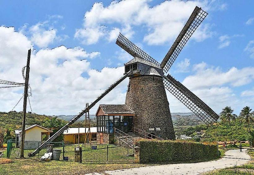
- St. Nicholas Abbey Heritage Railway (4.8km Northwest)