Landmark: Cherry Tree Hill
City: Saint Andrew
Country: Barbados
Continent: North America
Cherry Tree Hill, Saint Andrew, Barbados, North America
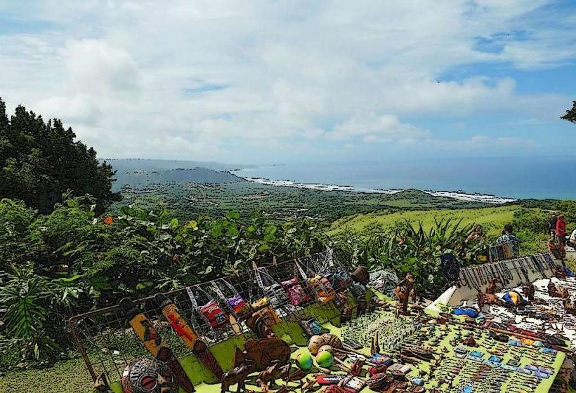
Cherry Tree Hill is a prominent viewpoint located in the parish of Saint Andrew, Barbados. It offers a panoramic perspective of the island's interior and eastern coastline.
Visual Characteristics
The site is characterized by a dense canopy of mature mahogany trees lining the road. The terrain slopes downwards from the road, revealing rolling hills covered in tropical vegetation. The eastern coastline is visible in the distance, with the Atlantic Ocean appearing as a broad expanse of blue.
Location & Access Logistics
Cherry Tree Hill is situated approximately 10 kilometers northeast of Bridgetown. Access is via Highway 1, then turning onto Highway 3 (St. Peter's Road) and continuing north. The final approach is via a narrow, winding road. Parking is available on the shoulder of the road, with space for approximately 10-15 vehicles. Public transport options are limited; however, local bus route 42 stops at the base of the hill, requiring a 1.5km walk uphill.
Historical & Ecological Origin
The mahogany trees were planted in the late 19th century as part of a reforestation effort following extensive logging. The area is part of the Scotland District, a geologically distinct region of Barbados characterized by uplifted sedimentary rocks, contrasting with the coral limestone that forms most of the island.
Key Highlights & Activities
The primary activity is observation from the roadside viewpoint. Visitors can photograph the landscape. Short walks along the roadside are possible, but the steep incline makes extensive exploration challenging.
Infrastructure & Amenities
There are no dedicated facilities at Cherry Tree Hill. Restrooms are not available. Shade is provided by the tree canopy. Cell phone signal (4G/5G) is generally available. No food vendors are present at the site; the nearest amenities are in the town of Bathsheba, approximately 5km to the southeast.
Best Time to Visit
For optimal photography lighting, early morning (07:00-09:00) or late afternoon (16:00-17:30) is recommended, when the sun angle is lower. The dry season, from December to May, offers clearer views. There are no tidal considerations.
Facts & Legends
A local anecdote suggests that the original planting of the mahogany trees was intended to prevent landslides on the steep slopes. The trees' extensive root systems are credited with stabilizing the soil in this geologically active area.
Nearby Landmarks
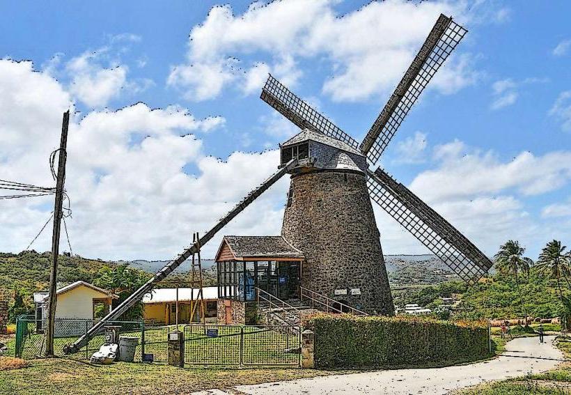
- St. Nicholas Abbey (3.2km Northwest)
- Bathsheba Beach (4.8km Southeast)
- Andromeda Botanic Gardens (4.5km Southeast)
- Hackleton's Cliff (4.0km Southwest)