Landmark: Bennington Area Trail System
City: Bennington
Country: USA Vermont
Continent: North America
Bennington Area Trail System, Bennington, USA Vermont, North America
The Bennington Area Trail System is a network of hiking trails located in and around Bennington, Vermont, USA.
This system provides access to varied terrain and natural features within the southwestern Vermont landscape.
Visual Characteristics
The trails traverse mixed deciduous and coniferous forests. Expect varied topography including moderate inclines, rocky sections, and some stream crossings. Trail surfaces range from packed earth to gravel and exposed roots. Elevation changes are significant, particularly on trails leading to higher vantage points.
Location & Access Logistics
The primary access point is located off Route 9 (Bennington Bypass) in Bennington, Vermont. Several trailheads are situated along this route and connecting local roads such as County Road 11 and Monument Road. Parking is available at designated trailheads, with capacity varying by location. Public transport options are limited; the Green Mountain Express bus route serves the town of Bennington, with connections to trailheads requiring additional walking or taxi services.
Historical & Ecological Origin
The trails are primarily situated on state forest land and private conservation easements. The area's ecological origin is rooted in glacial activity, shaping the current topography and soil composition. Historically, these paths may have originated from old logging roads or Native American trails, later developed for recreational use by local hiking organizations.
Key Highlights & Activities
Hiking is the primary activity. Specific trails offer access to viewpoints overlooking the Bennington valley. The Mount Equinox Skyline Drive (toll road) provides access to higher elevations and trailheads for more challenging routes. Birdwatching is possible throughout the system. Some trails are designated for cross-country skiing during winter months.
Infrastructure & Amenities
Restroom facilities are available at the Mount Equinox summit parking area and at the Bennington Battle Monument visitor center. Shade is abundant within the forested sections of the trails. Cell phone signal strength varies significantly; it is generally weak to non-existent in deeper forest sections and stronger at higher elevations or near access points. No food vendors are located directly on the trails; amenities are available in the town of Bennington.
Best Time to Visit
For hiking, late spring through early autumn (May to October) offers the most favorable conditions. Summer months can be humid. Autumn provides distinct foliage colors. Early morning or late afternoon offers optimal lighting for photography due to lower sun angles. No specific tide requirements apply.
Facts & Legends
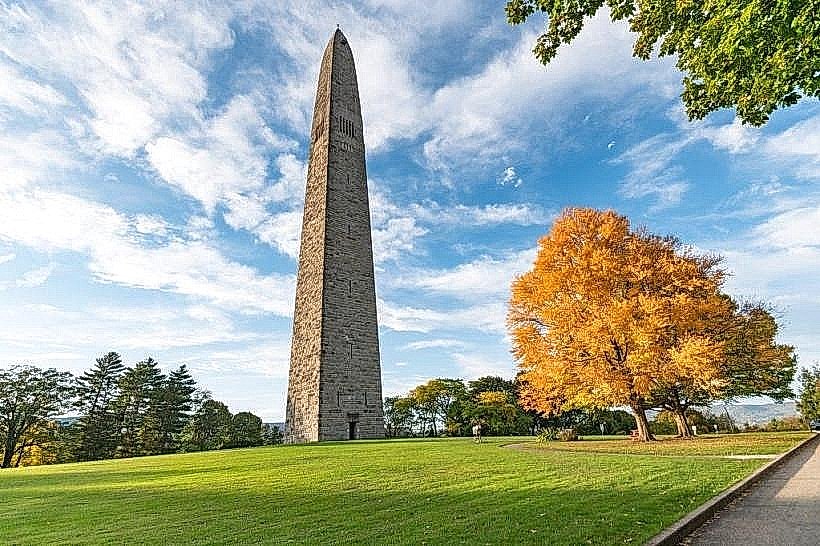
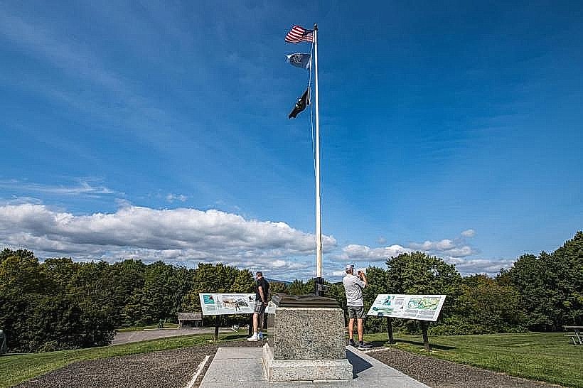
A notable feature is the proximity to the Bennington Battle Monument, commemorating a pivotal Revolutionary War battle. Local folklore sometimes mentions sightings of elusive wildlife within the denser forest areas, though these are unverified.
Nearby Landmarks
- Bennington Battle Monument (0.8km West)
- Mount Equinox (2.5km North)
- Old First Church of Bennington (1.2km West)
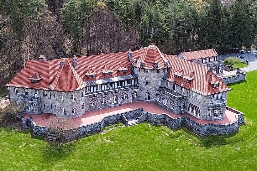
- Hildene, The Lincoln Family Home (15km North)
- Emerald Lake State Park (18km North)