Landmark: Southern Vermont College Trails
City: Bennington
Country: USA Vermont
Continent: North America
Southern Vermont College Trails, Bennington, USA Vermont, North America
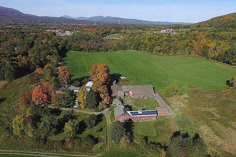
The Southern Vermont College Trails are a network of hiking paths located on the former campus of Southern Vermont College in Bennington, Vermont. These trails provide access to varied terrain and natural features within the college's former grounds.
Visual Characteristics
The trails traverse mixed deciduous and coniferous forests. Path surfaces vary from packed earth and gravel to exposed roots and rocks. Elevation changes are moderate, with some steeper inclines on certain routes. The landscape includes open fields, wooded areas, and intermittent streams.
Location & Access Logistics
The primary access point is from the former college entrance off Vermont Route 9 (Bennington Road) in Bennington, VT. The site is approximately 3.2 kilometers (2 miles) east of downtown Bennington. Parking is available in the main former college parking lots. No public transport directly serves the trailheads; access requires private vehicle or taxi service.
Historical & Ecological Origin
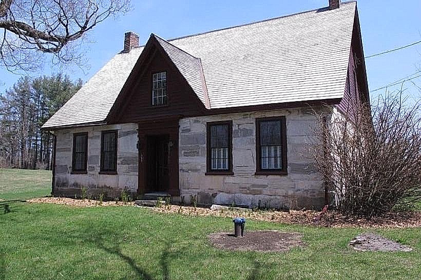
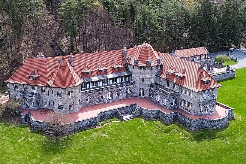
The land was historically part of a larger estate before becoming Southern Vermont College. The trails were developed and maintained by the college for recreational and educational purposes. Ecologically, the area represents a transition zone between the Taconic Mountains and the Green Mountains, supporting diverse woodland flora and fauna.
Key Highlights & Activities
Hiking is the primary activity. Specific trails include the Summit Trail, leading to higher elevations with views; the Meadow Loop, traversing open fields; and the Creek Trail, following a small watercourse. Birdwatching is possible throughout the wooded sections.
Infrastructure & Amenities
Limited infrastructure remains from the college era. Some former parking areas are present. Restrooms and potable water are not available on the trails. Cell phone signal (4G/5G) is intermittent, particularly in lower-lying wooded areas. No food vendors are located directly on the trail system.
Best Time to Visit
For optimal hiking conditions, the months of May through October are recommended. Spring (April-May) offers wildflowers, while autumn (September-October) provides fall foliage. Mid-morning to late afternoon offers the best natural light for photography. No tide considerations apply.
Facts & Legends
A specific point of interest is the former college observatory structure, now in disrepair, located near the Summit Trail. Local lore suggests the college grounds were once part of a larger agricultural estate dating back to the early 19th century.
Nearby Landmarks
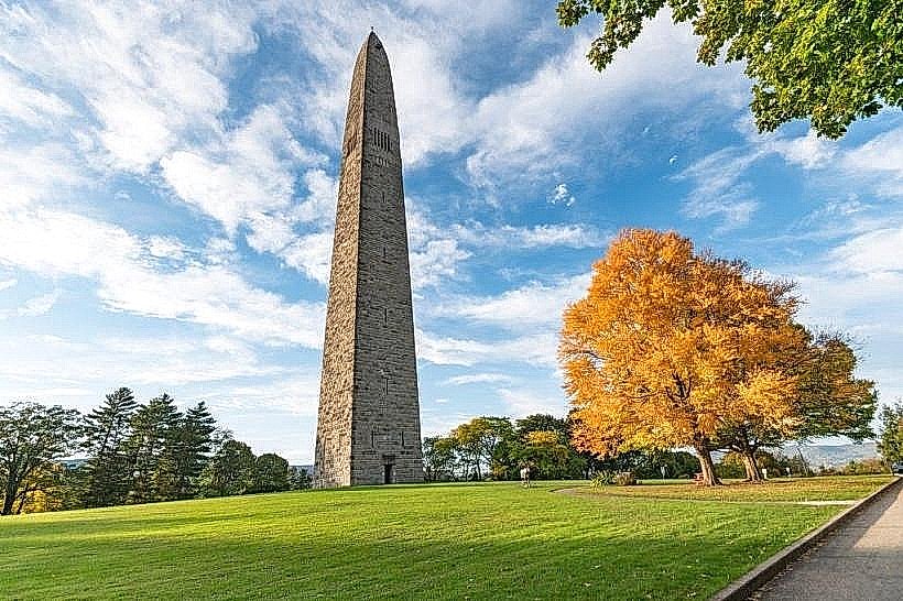
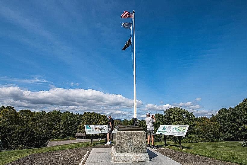
- Bennington Battle Monument: 3.5km West
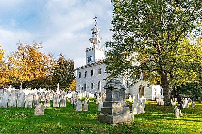
- Old First Church: 3.0km West
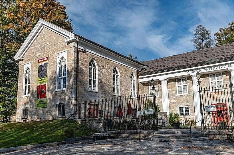
- Bennington Museum: 3.2km West
- Robert Frost Stone House Museum: 10.0km Southwest