Landmark: Burlington Bike Path
City: Burlington VT
Country: USA Vermont
Continent: North America
Burlington Bike Path, Burlington VT, USA Vermont, North America
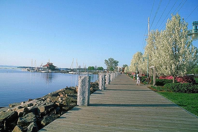
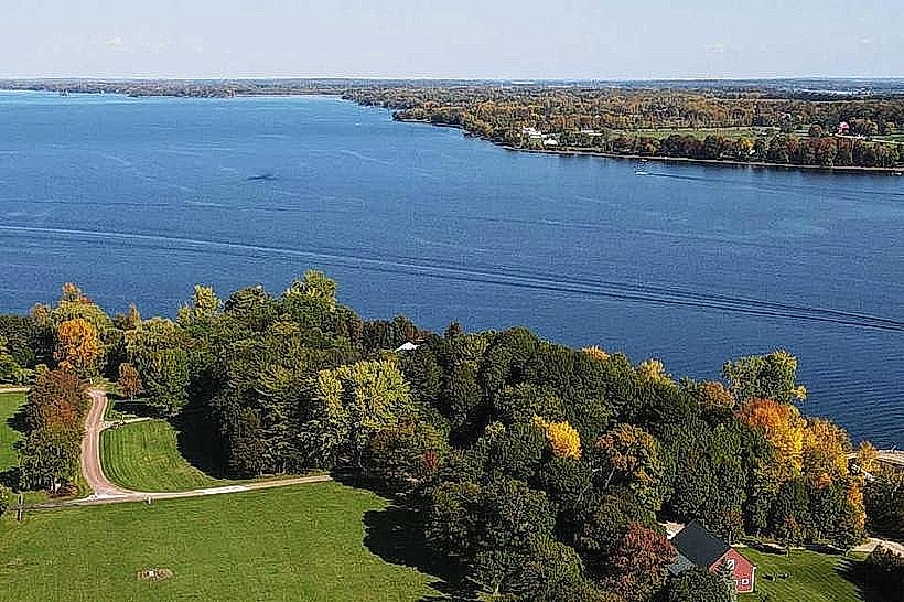
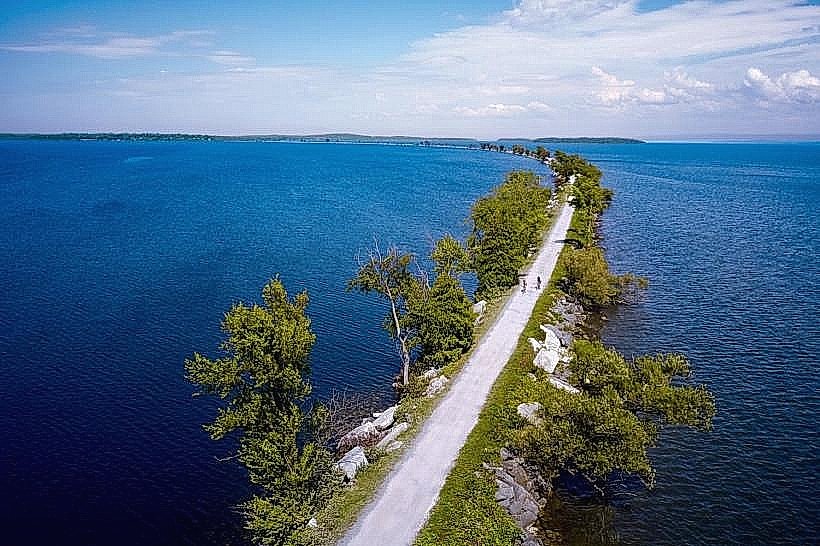
The Burlington Bike Path is a paved multi-use trail extending along the Lake Champlain shoreline in Burlington, Vermont. It provides a direct route for cyclists, walkers, and skaters between the city's downtown and its northern and southern residential areas.
Visual Characteristics
The path is constructed of asphalt, measuring approximately 8 feet in width. It runs at lake level for much of its length, offering unobstructed views of Lake Champlain and the Adirondack Mountains to the west. The surrounding vegetation consists primarily of deciduous trees, grasses, and occasional wetland areas.
Location & Access Logistics
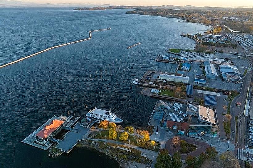
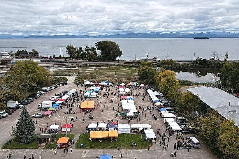
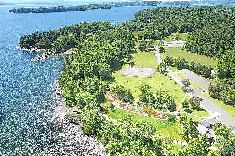
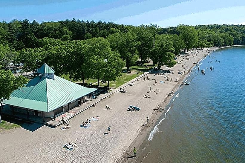
The path begins at Waterfront Park in downtown Burlington, located at 20 Lake Shore Drive. It extends approximately 8 miles north to the Winooski River bridge and 2 miles south to Oakledge Park. Access points are numerous, with designated parking available at Waterfront Park, North Beach Park, and Oakledge Park. Public transport options include the Green Mountain Transit bus routes that stop near Waterfront Park and North Beach.
Historical & Ecological Origin
The Burlington Bike Path was developed in phases, with initial construction beginning in the late 1970s and significant expansions occurring in the 1990s and early 2000s. It was built on former railroad beds and undeveloped shoreline property. Ecologically, the path traverses a riparian zone and areas adjacent to Lake Champlain, a freshwater lake formed by glacial activity.
Key Highlights & Activities
Activities include cycling, walking, running, and inline skating. Birdwatching is common along the path, particularly in wetland areas. Kayaking and paddleboarding launch points are accessible from several access points, including North Beach and Waterfront Park. Fishing is permitted in designated areas.
Infrastructure & Amenities
Restrooms are available at Waterfront Park, North Beach, and Oakledge Park. Shade is provided by mature trees along sections of the path. Cell phone signal (4G/5G) is generally consistent throughout the length of the path. Food vendors are present at Waterfront Park and North Beach during warmer months.
Best Time to Visit
For photography, early morning or late afternoon provides optimal lighting conditions for views of the lake and mountains. The best months for comfortable outdoor activity are May through October, with July and August being the warmest. No tide considerations are applicable.
Facts & Legends
A unique aspect of the path is its proximity to the Burlington Breakwater, a historic stone structure built in the early 20th century to protect the city's harbor. Local lore sometimes mentions sightings of unusual aquatic life in the lake, though these are unverified.
Nearby Landmarks
- Waterfront Park (0km West)
- ECHO, Leahy Center for Lake Champlain (0.2km West)
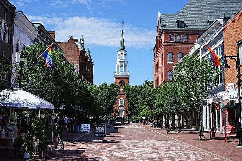
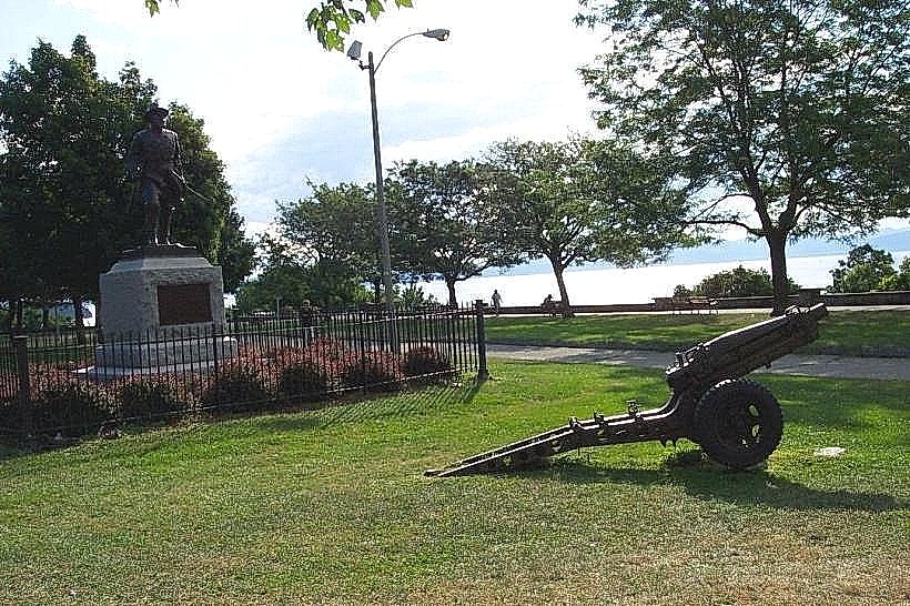
- Burlington City Hall Park (0.5km East)
- Battery Park (0.8km Northwest)
- North Beach Park (2.5km North)