Landmark: Lake Champlain Islands
City: Burlington VT
Country: USA Vermont
Continent: North America
Lake Champlain Islands, Burlington VT, USA Vermont, North America
The Lake Champlain Islands are a chain of islands located in Lake Champlain, extending from the northwestern coast of Vermont, USA.
These islands form a distinct geographical and cultural region within the larger Lake Champlain basin.
Visual Characteristics
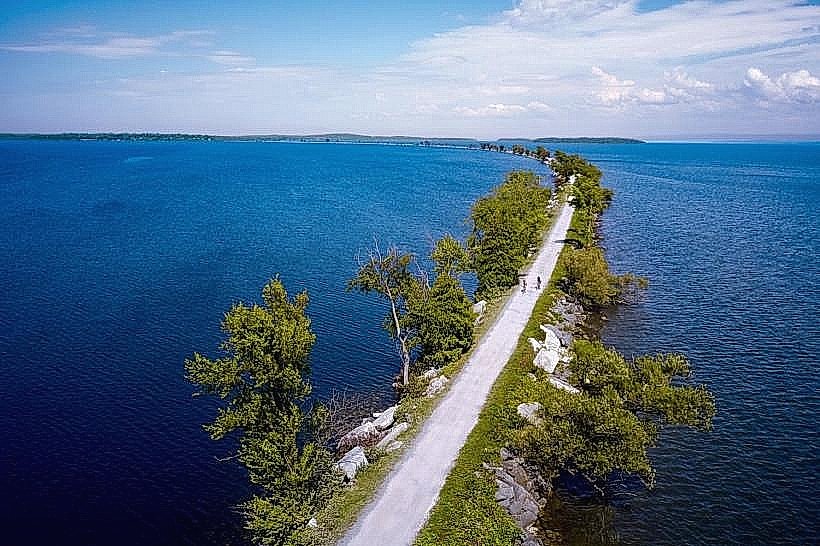
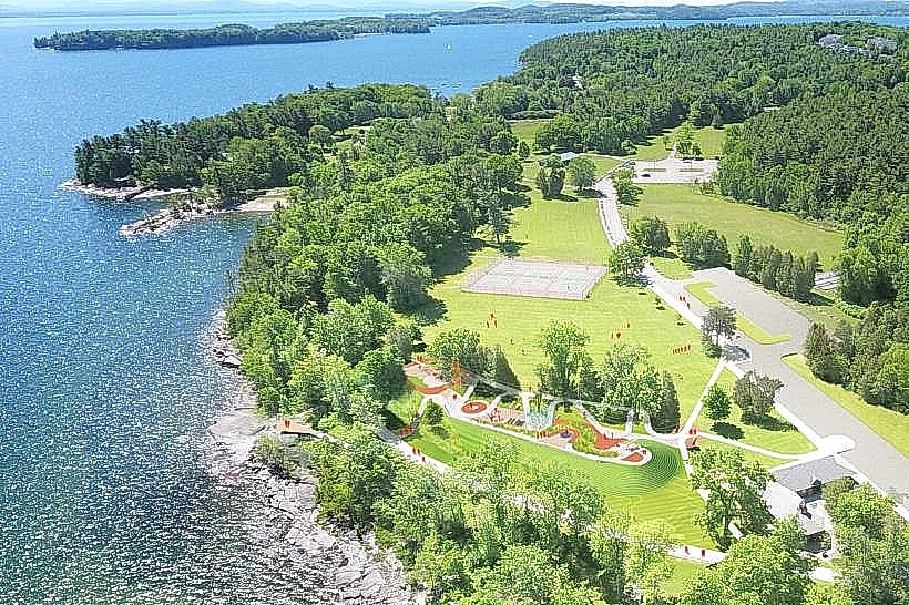
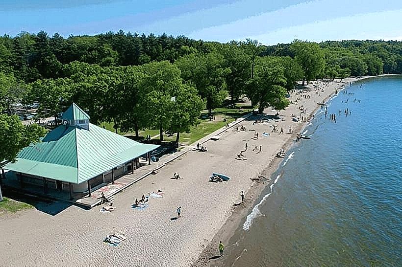
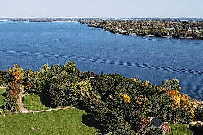
The islands exhibit varied topography, featuring rolling hills, agricultural fields, and forested areas. Shorelines range from rocky outcrops to sandy beaches. The lake itself presents a broad expanse of water, typically blue or grey depending on atmospheric conditions and depth. Vegetation includes deciduous forests, meadows, and cultivated crops.
Location & Access Logistics
The islands are accessible from Burlington, Vermont, via US Route 2, which traverses South Hero, North Hero, and extends towards the New York border. The distance from downtown Burlington to the start of the islands (South Hero) is approximately 15 miles. Parking is available at various points along the route, including designated pull-offs and at state parks. Public transport options are limited; however, seasonal ferry services may operate on Lake Champlain, though direct island access via public ferry from Burlington is not a consistent service. The primary access is by private vehicle.
Historical & Ecological Origin
The islands are primarily composed of sedimentary rock formations, including limestone and shale, dating back to the Ordovician period. They were shaped by glacial activity during the last Ice Age. Historically, the islands were settled by European colonists in the late 18th century, with agriculture, particularly dairy farming and apple orchards, becoming a dominant land use. The ecological classification is temperate deciduous forest and freshwater lake environment.
Key Highlights & Activities
Activities include cycling along the scenic routes, particularly US Route 2. Fishing is permitted in designated areas of Lake Champlain. Kayaking and paddleboarding are possible from various access points. Hiking trails are available in state parks such as North Hero State Park. Birdwatching is a common activity due to the diverse avian population.
Infrastructure & Amenities
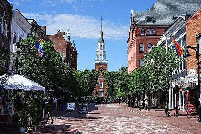
Restrooms are available at state parks and some public access points. Shade is provided by trees in forested areas and at parks. Cell phone signal (4G/5G) is generally available across the islands, though it may be intermittent in more remote sections. Food vendors and restaurants are located in the small villages on the islands, such as South Hero and North Hero.
Best Time to Visit
The best time for visiting is from late spring (May) through early autumn (October). For photography, early morning and late afternoon offer favorable lighting conditions. Summer months (June-August) provide the warmest weather for water-based activities. High tide is not a significant factor for access to the islands themselves, but can influence shoreline conditions for activities like beach access.
Facts & Legends
A notable historical oddity is the "Isle La Motte Fossil Beds," which contain some of the oldest known fossils of marine life in North America, dating back approximately 480 million years. A local legend speaks of a phantom lighthouse keeper who still patrols the shores of one of the smaller, uninhabited islands.
Nearby Landmarks
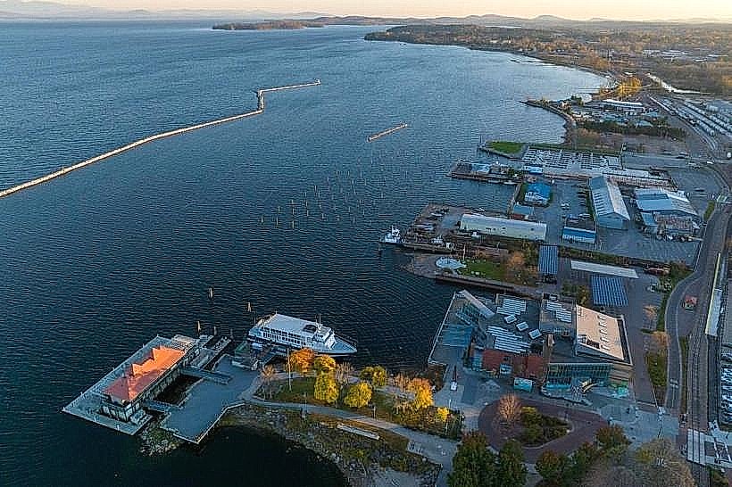
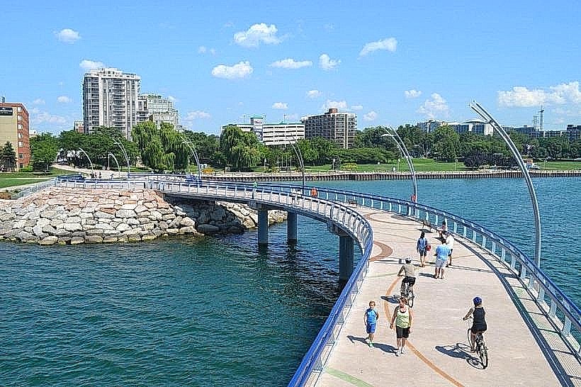
- Burlington Waterfront Park: 24km Southwest
- Mount Philo State Park: 20km Southwest
- Grand Isle State Park: 5km Northwest
- Plattsburgh, NY: 30km West (across the lake)
- Cutts Island State Park: 8km Northwest