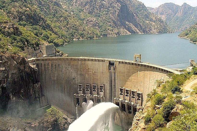
Landmark: Cahora Bassa Dam
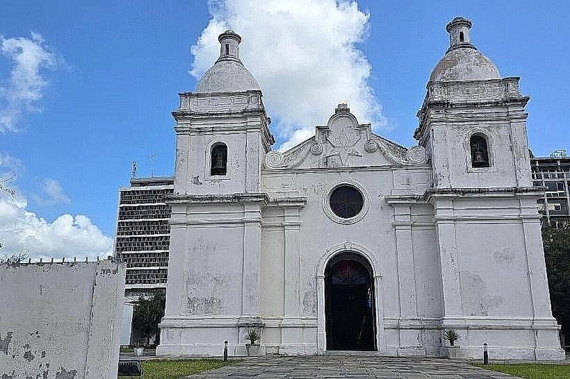
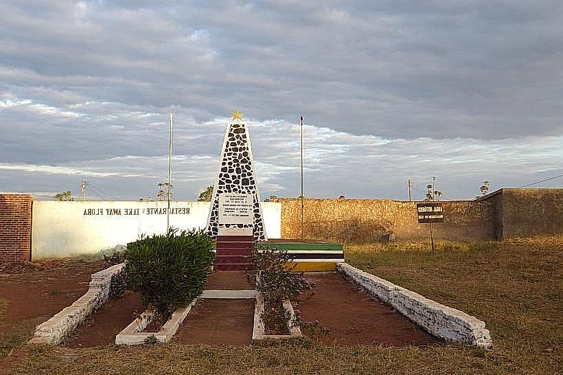
City: Quelimane
Country: Mozambique
Continent: Africa
Cahora Bassa Dam, Quelimane, Mozambique, Africa
The Cahora Bassa Dam is a large hydroelectric dam situated on the Zambezi River in Mozambique. It is located approximately 350 kilometers upstream from the city of Quelimane.
Visual Characteristics
The dam structure is primarily composed of concrete and rockfill, forming a massive barrier across the Zambezi River. Its length spans 2,724 meters, with a maximum height of 171 meters. The reservoir created behind the dam, Cahora Bassa Lake, is one of the largest artificial lakes in the world, covering an area of approximately 2,738 square kilometers when at full capacity. The surrounding landscape consists of rugged terrain and savanna vegetation.
Location & Access Logistics
Access to the Cahora Bassa Dam is primarily via road. The nearest major city is Tete, approximately 120 kilometers west of the dam. From Quelimane, the journey involves traveling inland, typically via the N1 highway towards Tete, and then taking secondary roads to reach the dam site. Road conditions can vary, particularly during the rainy season. There is a dedicated access road to the dam facilities, and parking is available at designated areas for visitors and staff. Public transport directly to the dam is limited; travel is generally arranged via private vehicle or organized tours originating from Tete or other regional centers.
Historical & Ecological Origin
Construction of the Cahora Bassa Dam began in 1969 and was completed in 1975. It was designed and built by a consortium of Portuguese companies. The primary purpose of the dam is hydroelectric power generation, supplying electricity to Mozambique and South Africa. Ecologically, the dam significantly altered the Zambezi River's flow, sediment transport, and fish migration patterns. The creation of Cahora Bassa Lake submerged a substantial area of land, impacting local ecosystems.
Key Highlights & Activities
Visitors can observe the scale of the dam structure and the vastness of Cahora Bassa Lake. Guided tours of the dam's operational facilities, including the power station, are sometimes available, subject to prior arrangement and security protocols. Boat trips on Cahora Bassa Lake offer opportunities to view the surrounding landscape and wildlife. Fishing is a common activity for local communities and can be arranged for visitors.
Infrastructure & Amenities
Basic infrastructure exists at the dam site, including administrative buildings and power generation facilities. Restrooms are generally available in designated visitor areas. Shade is limited outside of covered structures. Cell phone signal (4G/5G) can be inconsistent in the immediate vicinity of the dam and is more reliable in nearby towns. Food vendors are not typically present at the dam site itself; provisions should be made in advance or sourced from towns like Songo or Tete.
Best Time to Visit
The dry season, from May to October, offers the most favorable weather conditions for visiting, with lower rainfall and more accessible road conditions. The best time of day for viewing the dam and its surroundings is generally during the morning or late afternoon when the sun's angle provides optimal lighting for photography. There are no specific tide requirements related to visiting the dam structure itself.
Facts & Legends
The Cahora Bassa Dam is one of the largest hydroelectric projects in Africa. A notable historical event associated with the dam was its role during the Mozambican Civil War, when it was a strategic target. Local folklore sometimes speaks of the river spirits that were displaced by the dam's construction, though these are oral traditions rather than documented legends.
Nearby Landmarks
- Songo Town (0.5km West)
- Zambezi River (Adjacent)
- Tete City (120km West)
- Gorongosa National Park (Approx. 200km South-East)