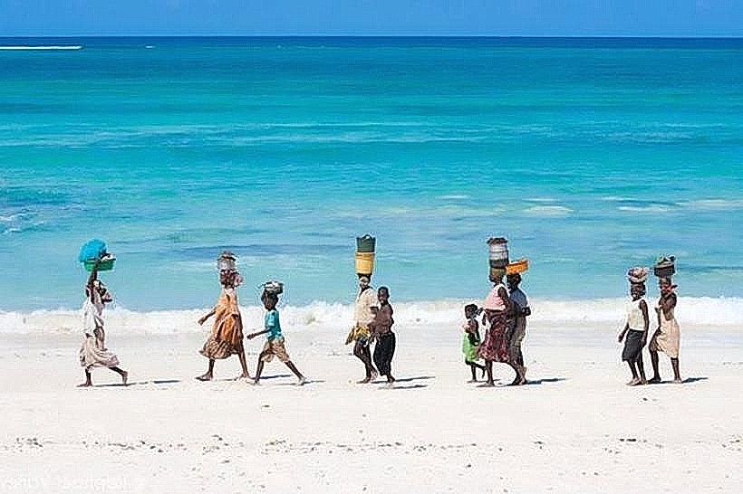
Landmark: Coalane Beach
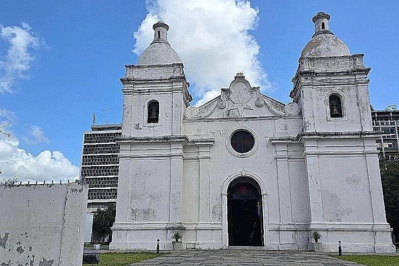
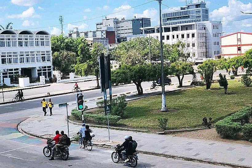
City: Quelimane
Country: Mozambique
Continent: Africa
Coalane Beach, Quelimane, Mozambique, Africa
Coalane Beach is a coastal area situated near Quelimane, Mozambique.
It is characterized by its sandy shoreline and proximity to mangrove ecosystems.
Visual Characteristics
The beach consists of fine, light-colored sand. The water is typically a muted blue-green, influenced by sediment from nearby rivers. The coastline is bordered by dense mangrove vegetation, primarily Rhizophora mucronata and Ceriops tagal species. The terrain is generally flat, with a gradual slope into the ocean.
Location & Access Logistics
Coalane Beach is located approximately 25 kilometers northeast of Quelimane. Access is via the N1 national road, turning off onto a gravel track (often referred to locally as the "Coalane Road") approximately 15 kilometers north of Quelimane. This track is approximately 10 kilometers long and can be challenging for standard vehicles, especially during the rainy season. Four-wheel-drive vehicles are recommended. There is no designated parking area; vehicles are typically parked on the side of the track or near the beach. Public transport to the immediate vicinity of the beach is not available; local transport options would involve hiring a private vehicle from Quelimane.
Historical & Ecological Origin
Coalane Beach is part of the Zambezi Delta's extensive mangrove system, which is a geologically recent formation resulting from sediment deposition by the Zambezi River over millennia. Ecologically, it functions as a vital nursery ground for marine life and a buffer against coastal erosion.
Key Highlights & Activities
Walking along the shoreline is possible. Observing the mangrove ecosystem is a primary activity. Birdwatching is feasible, with species such as flamingos and various waders present. Fishing is undertaken by local communities.
Infrastructure & Amenities
There are no formal infrastructure or amenities at Coalane Beach. Restrooms, shade structures, and food vendors are absent. Cell phone signal is intermittent and generally unreliable.
Best Time to Visit
The dry season, from May to October, offers the most favorable weather conditions. The best time of day for observing wildlife is typically early morning or late afternoon when temperatures are cooler and animal activity is higher. Tidal conditions do not significantly impact access to the beach itself, but can affect the visibility of certain intertidal zones within the mangroves.
Facts & Legends
Local folklore suggests that the area was once a significant trading post for ivory and slaves before the formal establishment of Quelimane. A specific tip for visitors is to be aware of the tides when exploring the immediate edges of the mangrove forest, as some paths can become submerged.
Nearby Landmarks
- Quelimane City Center (25km Southwest)
- Rio dos Bons Sinais Lighthouse (28km Southwest)
- Praia de Zalala (40km North)