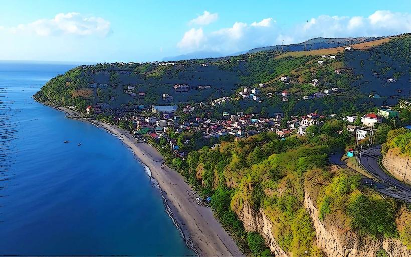
Landmark: Castle Bruce River
City: Marigot
Country: Dominica
Continent: North America
Castle Bruce River, Marigot, Dominica, North America
The Castle Bruce River is a river located in the eastern part of Dominica, flowing through the village of Castle Bruce. It is a significant waterway within the island's interior.
Visual Characteristics
The river features clear, cool water with a depth that varies seasonally. The riverbanks are characterized by dense tropical rainforest vegetation, including large ferns and broadleaf trees. Rock formations are present along the riverbed and banks, with some areas exhibiting smooth, water-worn stones.
Location & Access Logistics
The Castle Bruce River is situated approximately 15 kilometers east of Marigot. Access is primarily via the main road connecting Marigot to Castle Bruce village. Parking is available along the roadside near the village, with limited designated spots. Public transport options include local minibuses that run between Marigot and Castle Bruce, typically departing hourly during daylight hours.
Historical & Ecological Origin
The river is a natural geological formation, carved over millennia by the flow of water through the volcanic terrain of Dominica. Its ecological origin is tied to the island's rainforest ecosystem, supporting a variety of local flora and fauna.
Key Highlights & Activities
Activities include observing the river's flow and surrounding vegetation. Hiking along the riverbanks is possible in certain sections, though trails are not formally maintained. Swimming is feasible in deeper pools during periods of lower flow.
Infrastructure & Amenities
Basic amenities are limited. Restrooms are not available directly at the river. Shade is provided by the dense forest canopy. Cell phone signal (4G/5G) is intermittent and unreliable in this area. Food vendors are typically found within Castle Bruce village, not directly at the river access points.
Best Time to Visit
The best time of day for observing the river's clarity is generally mid-morning, after the morning mist has dissipated. The driest months, from February to May, offer the most stable water levels and reduced risk of flash floods. High tide is not a relevant factor for this inland river.
Facts & Legends
Local folklore suggests that the river's waters possess restorative properties, a belief often associated with natural waterways in the region. A specific historical oddity is the presence of remnants of old watermills along some tributaries, indicating past industrial use.
Nearby Landmarks
- Pointe Baptiste Chocolate Factory (2.5km Northeast)
- Emerald Pool (8km Southwest)
- Boiling Lake Trailhead (10km Southwest)
- Morne Trois Pitons National Park (9km Southwest)
- Rosalie Bay (6km Southeast)