Landmark: Victoria Falls
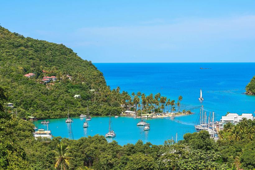
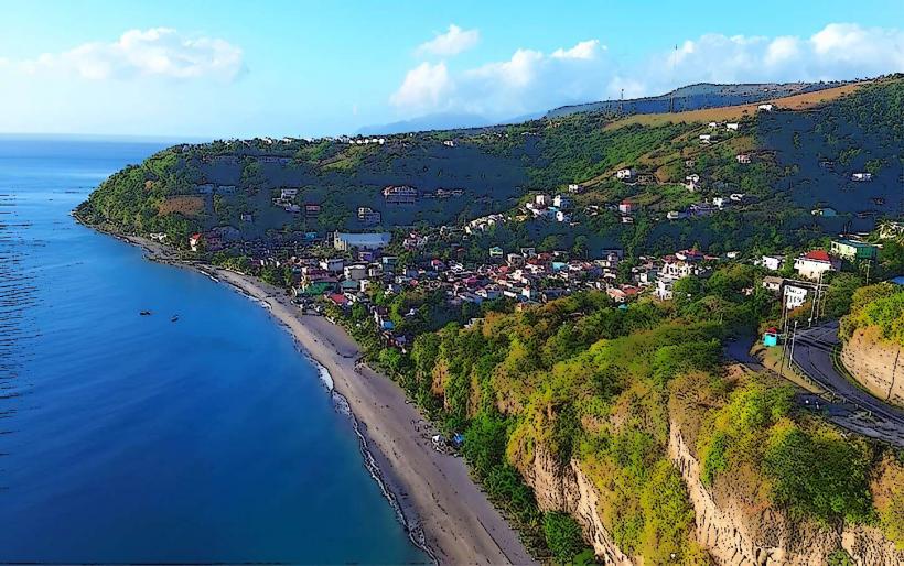
City: Marigot
Country: Dominica
Continent: North America
Victoria Falls, Marigot, Dominica, North America
Victoria Falls is a waterfall located on the Layou River in the interior of Dominica. It is situated approximately 10 kilometers inland from the west coast.
Visual Characteristics
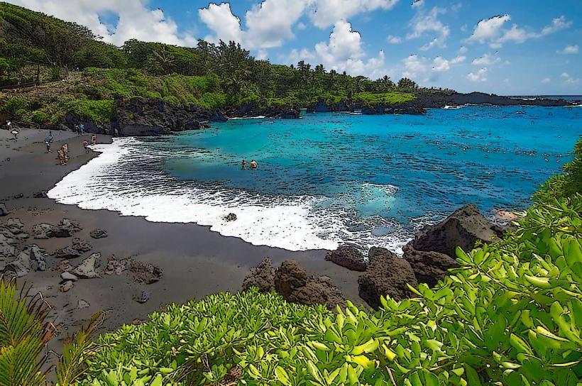
The waterfall drops approximately 40 meters over a series of rock ledges. The water is typically clear, with a light brown or green hue depending on recent rainfall and sediment load. The surrounding vegetation is dense tropical rainforest, characterized by broadleaf evergreen trees, ferns, and mosses. The rock formations are primarily volcanic basalt.
Location & Access Logistics
Access to Victoria Falls is via the Layou Valley Road (Waitukubuli National Trail Segment 13). The turn-off is approximately 10 kilometers from the coastal town of Marigot. From the Layou Valley Road, a marked trail of approximately 1.5 kilometers leads to the falls. Parking is available at a small, informal lot near the trailhead. Public transport to Marigot is available via bus; however, onward travel to the trailhead requires a taxi or private vehicle.
Historical & Ecological Origin
Victoria Falls is a natural geological feature formed by the erosive power of the Layou River over volcanic rock. The Layou River is one of Dominica's major river systems, originating in the central highlands and flowing to the west coast. The surrounding rainforest is part of Dominica's protected forest reserves, supporting a diverse range of endemic flora and fauna.
Key Highlights & Activities
The primary activity is viewing the waterfall. Swimming is possible in the plunge pool at the base of the falls, subject to water conditions and safety assessments. Hiking the trail to the falls offers an opportunity to observe the rainforest ecosystem.
Infrastructure & Amenities
There are no permanent facilities at the falls. Basic amenities such as restrooms or food vendors are not present. Cell phone signal is intermittent to non-existent along the trail and at the falls. Limited shade is available from the surrounding trees.
Best Time to Visit
The best time of day for photography is generally mid-morning to early afternoon when sunlight can penetrate the canopy. The driest months, from February to May, offer the most stable access and clearer water. During the wet season (June to November), water flow increases significantly, potentially making the falls more powerful but also increasing the risk of flash floods and trail erosion.
Facts & Legends
Local folklore suggests that the pool at the base of Victoria Falls has healing properties, though this is not scientifically verified. The name "Victoria Falls" was given by British colonial administrators during the 19th century.
Nearby Landmarks
- Emerald Pool (5.2km Southwest)
- Trafalgar Falls (7.8km Southwest)
- Boiling Lake (9.1km West)
- Wotton Waven Hot Springs (7.5km Southwest)