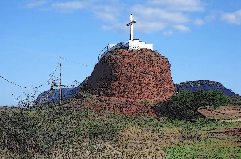
Landmark: Cerro Peró
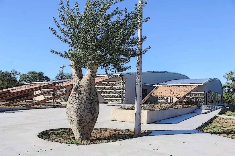
City: Filadelfia
Country: Paraguay
Continent: South America
Cerro Peró, Filadelfia, Paraguay, South America
Cerro Peró is a geological formation located in the Chaco region, near the city of Filadelfia, Paraguay.
This site is characterized by its elevated terrain within an otherwise flat landscape.
Visual Characteristics
Cerro Peró consists of a series of low hills composed primarily of sedimentary rock. The exposed rock surfaces exhibit shades of ochre and grey. Vegetation is sparse, consisting of drought-resistant shrubs and grasses typical of the arid Chaco environment. The elevation gain is gradual, reaching a maximum height of approximately 150 meters above the surrounding plain.
Location & Access Logistics
Cerro Peró is situated approximately 25 kilometers west of Filadelfia. Access is via unpaved roads; Route PY09 (Transchaco Highway) should be followed west from Filadelfia for 18 kilometers, then turn north onto a secondary dirt track for approximately 7 kilometers. Vehicle suitability for this track depends on recent rainfall; a 4x4 vehicle is recommended during the wet season. No public transport services operate directly to Cerro Peró. Parking is informal and available at the base of the accessible hills.
Historical & Ecological Origin
The geological formation of Cerro Peró is attributed to ancient sedimentary deposits from a prehistoric sea that once covered the Chaco region. These deposits were subsequently uplifted and eroded over millennia. Ecologically, it represents an island of higher ground in the otherwise flat Gran Chaco, supporting a distinct microhabitat for xerophytic plant species and associated fauna.
Key Highlights & Activities
Observation of the panoramic views of the surrounding Chaco plain from the higher points. Hiking on the established, albeit informal, trails to explore the rock formations. Birdwatching for species adapted to arid environments. Photography of the geological strata and landscape.
Infrastructure & Amenities
No permanent infrastructure or amenities are present at Cerro Peró. Visitors should carry their own water and food. Restroom facilities are unavailable. Cell phone signal (4G/5G) is intermittent and generally weak. No food vendors are located at the site.
Best Time to Visit
The optimal time for visiting is during the dry season, from May to October, to ensure better road conditions. Early morning or late afternoon provides softer lighting for photography and avoids the peak daytime heat. Temperatures can exceed 40°C (104°F) during summer months.
Facts & Legends
Local folklore suggests that the elevated position of Cerro Peró offered refuge to indigenous groups during historical conflicts. Geologically, it is one of the few significant topographical features in an otherwise extremely flat region, making it a natural landmark for navigation.
Nearby Landmarks
- Filadelfia (City Center) - 25km East
- Fortín Boquerón - 40km Northwest
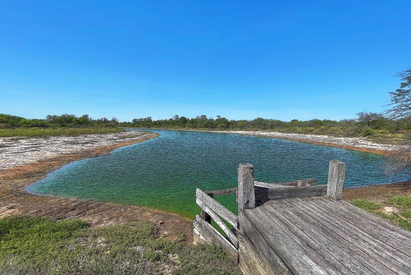
- Laguna Salada - 30km Southwest
- Parque Nacional Tinfunqué - 120km West