Landmark: Chenini Village
City: Tataouine
Country: Tunisia
Continent: Africa
Chenini Village, Tataouine, Tunisia, Africa
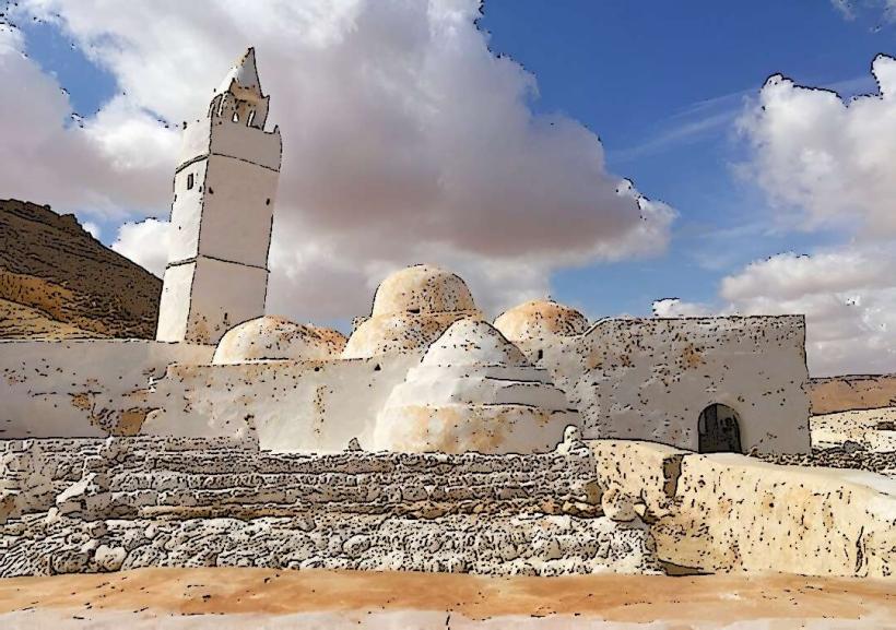
Chenini is a historic Berber village situated in the Tataouine Governorate of southern Tunisia.
It is a well-preserved example of traditional troglodyte architecture, with dwellings carved into hillsides.
Visual Characteristics
The village is constructed primarily from local stone and earth, giving it a uniform ochre color that blends with the surrounding arid landscape. Dwellings are typically small, rectangular structures with flat roofs, often built into the natural contours of the hills. Some structures exhibit arched doorways and small windows. The overall impression is one of organic integration with the terrain.
Location & Access Logistics
Chenini is located approximately 15 kilometers west of Tataouine. Access is via the P19 regional road, turning off onto a smaller, paved road leading directly to the village. The drive from Tataouine city center takes approximately 20 minutes. Parking is available in a designated area at the base of the hill upon arrival. There are no direct public transport routes to Chenini; visitors typically arrive by private vehicle or organized tour from Tataouine.
Historical & Ecological Origin
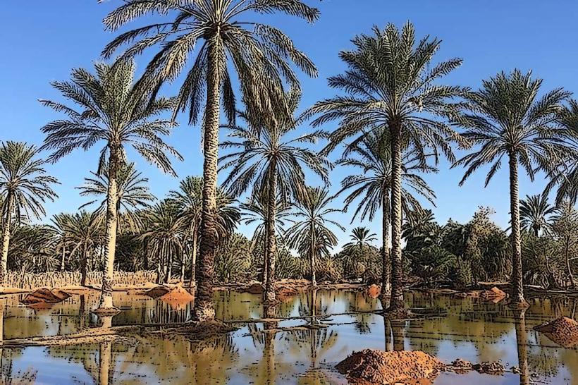
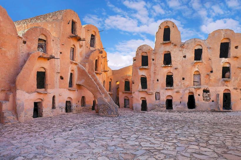
Chenini's origins date back to the 12th century, established by the Berber people. The troglodyte dwellings were designed for defense and thermal regulation in the desert climate. The village was historically a center for agriculture, with terraced fields and olive groves still visible. Its location on a defensible hilltop was strategic for protection against nomadic raids.
Key Highlights & Activities
Exploration of the ancient cave dwellings and the mosque. Hiking to the hilltop fort (ksar) for panoramic views. Observing the traditional olive oil press. Walking through the village's narrow pathways. Photography of the unique architecture and landscape.
Infrastructure & Amenities
Basic restroom facilities are available near the parking area. Limited shade is provided by natural rock overhangs and some structures. Cell phone signal (4G) is generally available. Small local vendors may offer refreshments and souvenirs at the village entrance.
Best Time to Visit
The best time of day for photography is during the early morning or late afternoon when the sunlight casts long shadows, highlighting the architectural details. The most favorable months for visiting are from October to April, avoiding the extreme heat of summer. There are no tide-dependent activities.
Facts & Legends
A local legend states that the village was named after a saint whose tomb is located within the settlement. The village's defensive structures, including the ksar, were designed to withstand sieges. Visitors can find remnants of ancient water cisterns carved into the rock.
Nearby Landmarks
- Ksar Ouled Soltane (10km Southeast)
- Ghomrassen (15km Northwest)
- Tataouine Museum (15km East)
- Foum Tataouine (20km Southwest)