Landmark: Chief Joseph Scenic Byway
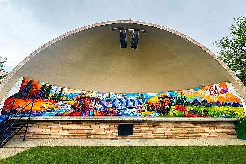
City: Cody
Country: USA Wyoming
Continent: North America
Chief Joseph Scenic Byway, Cody, USA Wyoming, North America
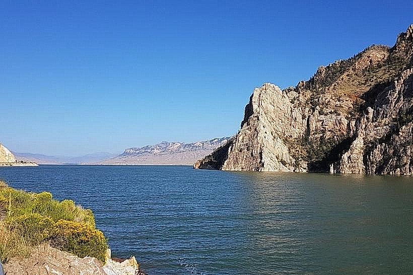
The Chief Joseph Scenic Byway is a 48-mile (77 km) designated route in northwestern Wyoming, USA, traversing Park County.
Visual Characteristics
The byway follows the Shoshone River valley, characterized by steep canyon walls composed of sedimentary rock formations. Vegetation includes sagebrush, grasses, and scattered coniferous trees at higher elevations. The Shoshone River itself is a clear, fast-flowing waterway.
Location & Access Logistics
The byway begins at the junction of U.S. Route 14 and U.S. Route 16 in Cody, Wyoming. It proceeds west on U.S. Route 14, becoming the Chief Joseph Scenic Byway at the junction with Wyoming Highway 296. The route terminates at the junction with U.S. Route 212 near Cooke City, Montana. Cody is the nearest major city, approximately 5 miles east of the byway's eastern terminus. Parking is available at designated pull-offs and viewpoints along the route. No public transport services operate directly on the byway.
Historical & Ecological Origin
The route follows terrain shaped by glacial activity and river erosion over millennia. The designation as a scenic byway occurred in 1988. The name honors Chief Joseph of the Nez Perce tribe, whose people traveled through this region during their 1877 flight.
Key Highlights & Activities
Photography opportunities exist at numerous overlooks. Hiking is possible on undeveloped trails adjacent to the road. Fishing in the Shoshone River is permitted with a Wyoming fishing license. Wildlife viewing, including elk and bighorn sheep, is common.
Infrastructure & Amenities
Restrooms are available at designated rest areas, notably the Wapiti Ranger Station and the Dead Indian Campground. Shade is limited, primarily found in forested sections. Cell phone signal is intermittent and generally unavailable in canyon areas. Food vendors are located in Cody and Cooke City; limited services may be found in Wapiti.
Best Time to Visit
The byway is typically open from late May through October, depending on snow conditions. Mid-morning and late afternoon offer optimal lighting for photography due to the angle of the sun on the canyon walls. Summer months (July-August) provide the most stable weather conditions.
Facts & Legends
A specific geological feature known as the "Devil's Slide" is a prominent rock formation visible from the byway, characterized by its long, narrow ridge.
Nearby Landmarks
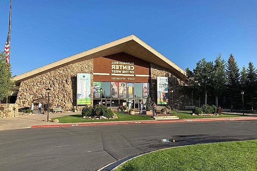
- Buffalo Bill Center of the West (5km East)
- Cody Reservoir (10km West)
- Yellowstone National Park (East Entrance - 80km West)
- Absaroka-Beartooth Wilderness (Adjacent to Northern Terminus)