Landmark: Shoshone National Forest
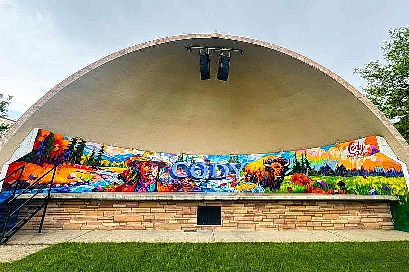
City: Cody
Country: USA Wyoming
Continent: North America
Shoshone National Forest, Cody, USA Wyoming, North America
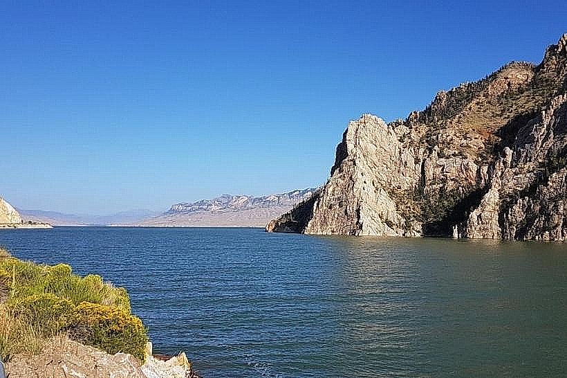
Shoshone National Forest is a protected area located in northwestern Wyoming, USA. It is the first designated national forest in the United States.
Visual Characteristics
The forest encompasses 2.4 million acres of varied terrain. Elevations range from 4,500 feet in the Greybull River valley to over 13,800 feet in the Absaroka and Wind River mountain ranges. Vegetation includes lodgepole pine, spruce, fir, aspen, and sagebrush steppe. Rivers and lakes are present throughout, with water clarity varying based on sediment load. Rock formations include granite, sedimentary rock, and volcanic deposits.
Location & Access Logistics
Shoshone National Forest is accessible from Cody, Wyoming, via U.S. Highway 14/16/20 (Buffalo Bill Scenic Byway) and U.S. Highway 14A. Cody is approximately 50 miles from the eastern boundary. Several entrances exist, including those near Cody, Lander, and Dubois. Paved roads provide access to many developed areas, with gravel and dirt roads leading to more remote trailheads. Parking is available at designated campgrounds, picnic areas, and trailheads. Public transport is not available within the forest; personal vehicles are required.
Historical & Ecological Origin
Established on March 30, 1891, by President Benjamin Harrison, Shoshone National Forest was created to protect timber and watershed resources. Its geological origin is a combination of tectonic uplift forming mountain ranges and volcanic activity. Ecologically, it represents a transition zone between the Great Plains and the Rocky Mountains, supporting diverse ecosystems.
Key Highlights & Activities
Hiking is available on over 1,000 miles of trails, including sections of the Continental Divide Trail. Wildlife viewing opportunities exist for elk, bighorn sheep, bears, and various bird species. Fishing is permitted in designated waters. Camping is available in developed campgrounds and dispersed sites. Horseback riding is permitted on designated trails. Rock climbing is possible in specific areas.
Infrastructure & Amenities
Developed campgrounds offer vault toilets, picnic tables, and fire rings. Some campgrounds have potable water. Restrooms are available at visitor centers and some developed recreation sites. Shade is provided by forest canopy in many areas. Cell phone signal is intermittent and generally unavailable in remote sections. Food vendors are not present within the forest; visitors should bring their own supplies. Visitor centers are located in Cody and Lander.
Best Time to Visit
The primary visitor season is from June through September. July and August offer the warmest weather and most accessible trails. For photography, early morning and late afternoon light provides optimal conditions. High elevations may retain snow until late June. Fall colors are prominent in September. Fishing is best in spring and fall.
Facts & Legends
The forest contains the headwaters of the Yellowstone River. A specific tip for visitors is to be aware of bear activity and carry bear spray, especially when hiking in remote areas. The Absaroka Range within the forest is known for its rugged, volcanic geology.
Nearby Landmarks
- Yellowstone National Park (West Entrance) - 80km West
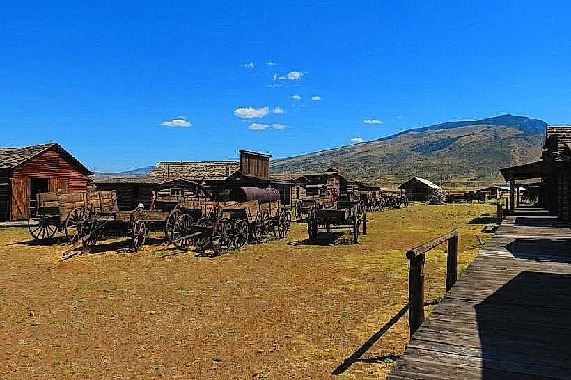
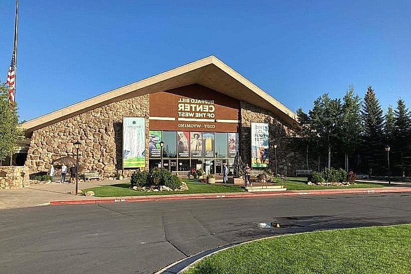
- Buffalo Bill Center of the West (Cody) - 50km East
- Heart Mountain Interpretive Center (near Powell) - 70km Northeast
- Bighorn National Forest (Eastern Boundary) - 100km East
- Wind River Indian Reservation (Southern Boundary) - Adjacent South