Landmark: Cika Mountain
City: Vlora
Country: Albania
Continent: Europe
Cika Mountain, Vlora, Albania, Europe
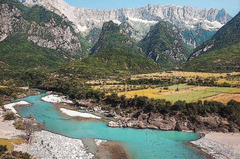
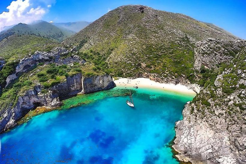
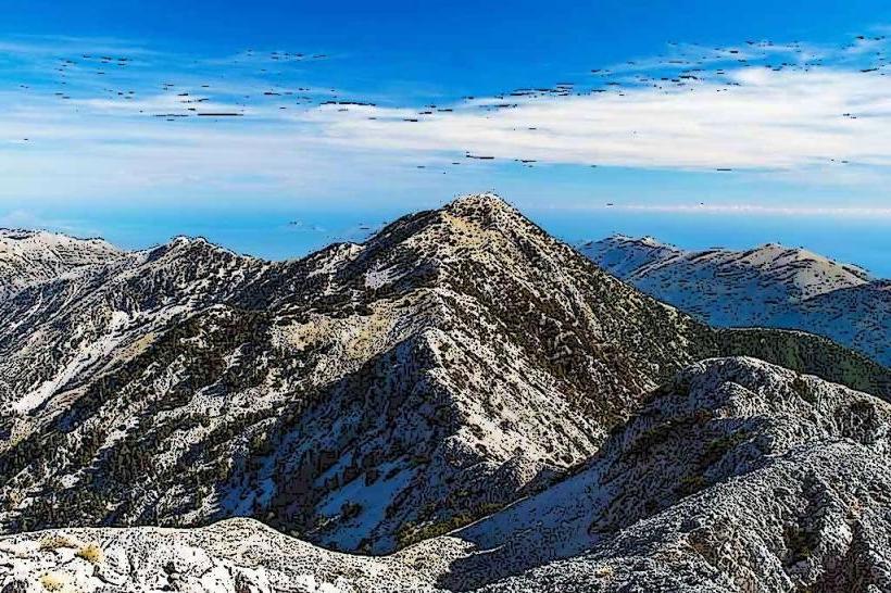
Maja e Çikës is the highest peak of the Ceraunian Mountains, reaching an elevation of 2,044 meters. It is situated in the Vlorë District of southern Albania, forming a massive natural barrier between the Ionian Sea and the interior Shushica Valley.
Visual Characteristics
The mountain is defined by its extreme verticality, rising directly from the sea level to over 2,000 meters within a horizontal distance of only 5 kilometers. The western face consists of sheer limestone cliffs and steep scree slopes, while the eastern side features more gradual slopes covered in dense forests of Bulgarian fir (Abies borisii-regis) and Bosnian pine (Pinus heldreichii). The summit provides a 360-degree panorama of the Corfu Channel, Italy (on exceptionally clear days), and the northern Ionian islands.
Location & Access Logistics
The primary access point is the Llogara Pass (1,027m), located on the SH8 national highway between Vlorë and Dhërmi. From Vlorë, the drive to the trailhead takes approximately 45 minutes. The ascent to the summit begins at the information center within the Llogara National Park. The hike is rigorous, taking 7–9 hours for a round trip. While the SH8 is fully paved, there is no public transport to the summit; visitors use private vehicles or hikers' shuttles to reach the pass.
Historical & Ecological Origin
Çika Mountain is a tectonic massif composed of Mesozoic limestone. It is the centerpiece of the Llogara National Park, established in 1966. Historically, the Ceraunian range (Thunder Mountains) was recorded by ancient writers like Ptolemy and Strabo as a dangerous navigational landmark due to frequent lightning strikes and sudden maritime storms generated by the mountain’s microclimate.
Key Highlights & Activities
Mountain trekking is the primary activity, specifically the trail from Llogara to the peaks of Çika and its sister peak, Maja e Qores. Paragliding is a major international draw, with launches from the Llogara Pass landing on Palasa Beach. The mountain is also a site for botanical study, hosting several endemic species that thrive in the high-altitude Mediterranean-alpine transition zone.
Infrastructure & Amenities
Infrastructure is concentrated at the Llogara Pass, which features numerous hotels, mountain resorts, and restaurants. There are no facilities, shelters, or water sources once you begin the ascent from the pass. Public restrooms are available at the park entrance. Cellular signal (4G/5G) is strong at the pass and on the summit but can be lost on the eastern leeward slopes.
Best Time to Visit
The optimal window for hiking is from May to June and September to October. July and August are often too hot for the exposed western ascent, though the "blue hour" at sunrise offers the most stable photography conditions. In winter (December–March), the mountain is frequently covered in deep snow and ice, requiring crampons and ice axes for a safe ascent.
Facts & Legends
A verified meteorological oddity is the "Llogara Cloud," a persistent thermal fog that often sits on the pass while the summit of Çika remains in clear sun. Local sailors' lore suggests that the mountain "calls the wind," a reference to the katabatic winds that can suddenly accelerate down the slopes toward the Ionian Sea. Julius Caesar notably crossed these mountains in 48 BC during his civil war against Pompey, landing his legions at the nearby Palasa Beach.
Nearby Landmarks
Llogara Pass: 3.5km West
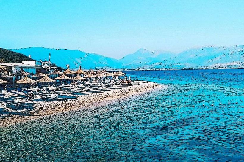
Palasa Beach: 5.0km Southwest
Maja e Qores: 2.0km Northwest
Dhërmi Village: 8.0km South
Shushica Valley: 6.0km East