Landmark: Cospicua Bastions
City: Cospicua
Country: Malta
Continent: Europe
Cospicua Bastions, Cospicua, Malta, Europe
Visual Characteristics
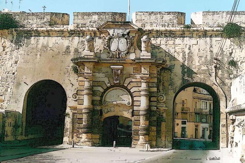
The bastions are constructed primarily from local globigerina limestone, exhibiting a characteristic honey-colored hue that weathers to a greyish tone over time. They feature a robust, angular design typical of 17th-century Baroque military architecture, with high curtain walls and projecting bastions. The average height of the walls ranges from 10 to 15 meters, with varying thicknesses designed to withstand artillery bombardment. Specific features include embrasures, counterscarps, and glacis, forming a complex defensive perimeter.
Location & Access Logistics
The Cospicua Bastions encircle the landward side of Cospicua, one of the Three Cities, located approximately 5 kilometers southeast of Valletta. Access by car is via Triq il-Kottonera or Triq San Pawl, leading directly into the city. Limited street parking is available within Cospicua's residential areas. Public transport is accessible via several bus routes; bus lines 1, 2, 3, 4, and X4 serve the Bormla (Cospicua) area, with stops such as "Bormla" or "Cospicua Terminus" providing direct access to the city center adjacent to the bastions.
Historical & Ecological Origin
Construction of the Cottonera Lines, including the Cospicua Bastions, commenced in 1670 under the Order of St. John. The primary architect credited with their design was Antonio Maurizio Valperga, though other engineers contributed to the overall scheme. Their original purpose was to provide a second line of defense for the Grand Harbour area, specifically protecting the Three Cities and the dockyards from potential Ottoman invasions, following the experience of the Great Siege of Malta in 1565.
Key Highlights & Activities
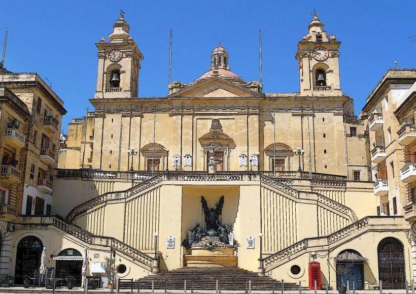
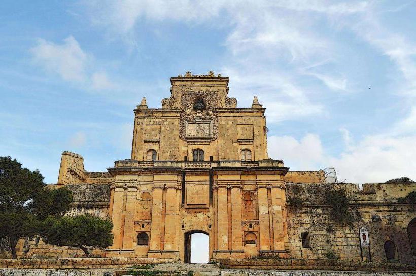
Walking along the perimeter of the bastions offers panoramic views of the surrounding landscape, including the Grand Harbour, Valletta, and the other Two Cities (Vittoriosa and Senglea). Specific points of interest include the various gates, such as the St. Helen Gate and the Notre Dame Gate, which provide access through the fortifications. Exploring the bastions allows for observation of 17th-century military engineering principles.
Infrastructure & Amenities
Public restrooms are not directly integrated into the bastion structures but can be found in nearby cafes and restaurants within Cospicua. Shade is provided by the height of the bastion walls themselves, particularly during specific times of day, and by some mature trees planted along sections of the perimeter. Cell phone signal (4G/5G) is consistently strong throughout the area. Various food vendors, cafes, and small grocery stores are located within the city streets immediately adjacent to the bastions.
Best Time to Visit
The best time to visit for photography is during the early morning or late afternoon, when the low sun angle illuminates the limestone with a warm glow and minimizes harsh shadows. The cooler months, from October to May, are ideal for walking and exploration, avoiding the high summer temperatures. No specific high/low tide requirements apply to visiting the land-based bastions.
Facts & Legends
A verified historical oddity is that despite their massive scale and strategic importance, the Cottonera Lines, including the Cospicua Bastions, were never fully completed to their original design specifications due to financial constraints and the diminishing threat of Ottoman invasion. They saw significant action during World War II, providing shelter and defense during aerial bombardments.
Nearby Landmarks
- Vittoriosa (Birgu): 0.5km North
- Senglea (Isla): 0.7km Northwest
- Malta Maritime Museum: 0.8km North in Vittoriosa
- Fort St. Angelo: 1.2km North in Vittoriosa
- Inquisitor's Palace: 0.9km North in Vittoriosa