Information
Landmark: Devil's BridgeCity: North Coast
Country: Antigua and Barbuda
Continent: North America
Devil's Bridge, North Coast, Antigua and Barbuda, North America
Devil's Bridge is a natural rock arch located on the northeastern coast of Antigua, within the country of Antigua and Barbuda.
Visual Characteristics
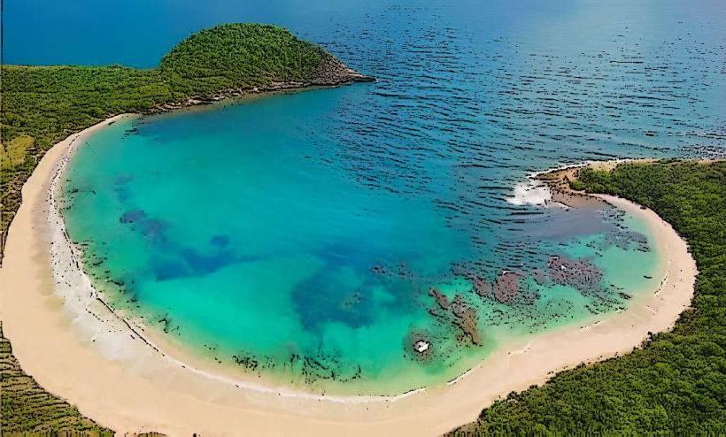
The formation consists of a natural limestone arch, approximately 15 meters long and 5 meters high above sea level. The rock is weathered and porous, exhibiting a pale grey to off-white coloration. Waves frequently crash against the base of the arch, creating spray that can reach the top.
Location & Access Logistics
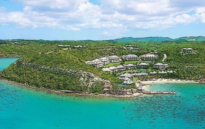
Devil's Bridge is situated at the easternmost point of Antigua. It is accessible via a paved road from St. John's, approximately 25 kilometers away, taking roughly 40 minutes by car. Parking is available at a designated lot adjacent to the site. Public transport options are limited; a taxi or pre-arranged car service is the most reliable method of access.
Historical & Ecological Origin
This geological feature is a result of coastal erosion. Over millennia, the relentless action of the Atlantic Ocean has carved through the limestone bedrock, forming the distinct arch. It is classified as a sea arch, a common coastal landform.
Key Highlights & Activities
Observation of the arch and the surrounding wave action is the primary activity. Visitors can walk to the edge of the cliff for views. Caution is advised due to slippery surfaces and strong winds. No swimming or climbing is permitted.
Infrastructure & Amenities
A small parking area is present. There are no permanent restroom facilities or food vendors directly at the site. Cell phone signal (4G/5G) is generally available in the vicinity.
Best Time to Visit
Mid-morning (9:00 AM - 11:00 AM) offers direct sunlight on the arch. Late afternoon (3:00 PM - 5:00 PM) also provides good lighting. The sea is typically rougher and more dramatic during the winter months (December to April), though accessible year-round.
Facts & Legends
Local folklore suggests that enslaved people, during the era of plantations, would leap from the bridge to escape bondage, with some believing they were transported to Africa. Geologically, the arch is expected to eventually collapse due to continued erosion.
Nearby Landmarks
- Antigua Distillery Limited (12km Southwest)
- Nelson's Dockyard National Park (18km Southwest)
- Shirley Heights (19km Southwest)
- Museum of Antigua and Barbuda (24km West)