Information
Landmark: Indian Town PointCity: North Coast
Country: Antigua and Barbuda
Continent: North America
Indian Town Point, North Coast, Antigua and Barbuda, North America
Indian Town Point is a coastal geological formation located on the northeastern tip of Antigua, within the country of Antigua and Barbuda.
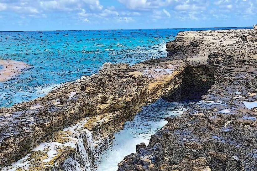
This site features a natural limestone arch and blowholes carved by wave action.
Visual Characteristics
The formation consists of weathered limestone rock, exhibiting shades of beige and grey. Wave erosion has created a prominent natural arch, approximately 10 meters in span. Adjacent to the arch are several blowholes, which intermittently eject seawater spray. The surrounding vegetation is sparse, consisting primarily of low-lying coastal scrub.
Location & Access Logistics
Indian Town Point is situated approximately 15 kilometers northeast of St. John's, the capital city. Access is via the main road heading east, then turning onto a smaller, unpaved track signposted for Indian Town Point. The track is approximately 1 kilometer long and suitable for most vehicles. Parking is available on a gravel area adjacent to the site. No public transport directly serves Indian Town Point; visitors typically arrive by private vehicle or taxi.
Historical & Ecological Origin
The geological features at Indian Town Point are the result of coastal erosion acting upon limestone deposits over millennia. The limestone itself is composed of fossilized marine organisms. The natural arch and blowholes are formed by the relentless action of the Atlantic Ocean waves, which have carved through weaker sections of the rock.
Key Highlights & Activities
Observation of the natural limestone arch is the primary activity. Visitors can witness the blowholes in action, particularly during periods of higher wave activity. Walking along the coastal path provides views of the surrounding coastline. Photography of the geological formations is common.
Infrastructure & Amenities
There are no permanent structures or amenities at Indian Town Point. Restrooms are not available. Shade is minimal, provided only by small rock overhangs. Cell phone signal (4G/5G) is generally available. No food vendors are located at the site; visitors should bring their own provisions.
Best Time to Visit
The best time of day for photography is generally in the late afternoon, when the sun angle can highlight the rock textures. The months of December through April offer the driest weather conditions. Wave activity, which influences the visibility of the blowholes, is often more pronounced during the winter months and can be influenced by prevailing wind conditions.
Facts & Legends
Local folklore suggests that the arch was once used by smugglers to hide contraband. Geologically, the arch is a temporary feature that will eventually collapse due to continued erosion.
Nearby Landmarks
- Devil's Bridge (0.8km East)
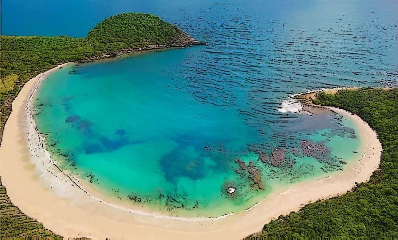
- Long Bay Beach (2.5km South)
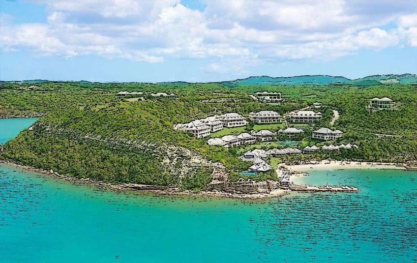
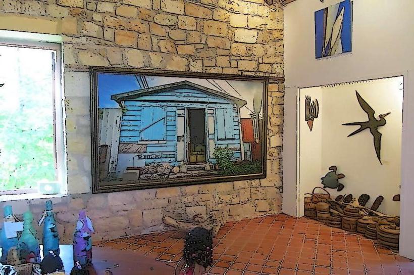
- Harmony Hall (3.1km Southwest)
- Willie's Beach (4.2km West)