Landmark: Dique de Ullum
City: San Juan
Country: Argentina
Continent: South America
Dique de Ullum, San Juan, Argentina, South America
The Dique de Ullum is a dam and reservoir located in the Ullum Department, San Juan Province, Argentina.
It serves as a significant water storage and hydroelectric power generation facility for the region.
Visual Characteristics
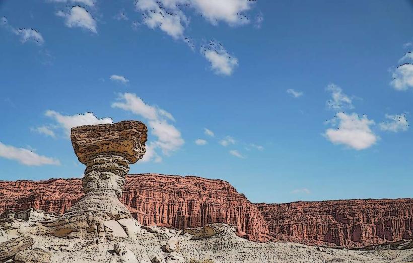
The dam structure is composed of concrete and earthfill, with a crest length of approximately 1,100 meters. The reservoir, known as Embalse de Ullum, presents a large body of water with varying shades of blue and green depending on light conditions and sediment load. The surrounding landscape consists of arid hills and mountains characteristic of the Cuyo region.
Location & Access Logistics
The Dique de Ullum is situated approximately 60 kilometers northwest of the city of San Juan. Access is primarily via Provincial Route 12 (RP 12), which leads directly to the dam site. Ample parking is available at designated areas near the dam's crest and recreational zones. Public transport options are limited; however, local bus services may operate to the town of Ullum, requiring a subsequent taxi or private vehicle for the final approach to the dam.
Historical & Ecological Origin
Construction of the Dique de Ullum began in 1977 and was completed in 1980. The primary purpose was to regulate the flow of the San Juan River for irrigation and to generate hydroelectric power. Ecologically, the reservoir has altered the natural flow of the San Juan River, creating a new aquatic habitat within an arid environment.
Key Highlights & Activities
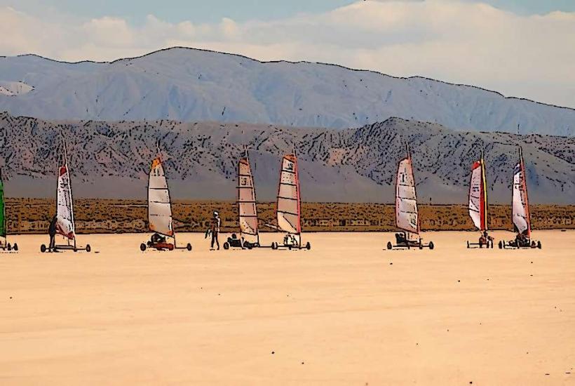
Activities at the Dique de Ullum include sailing, windsurfing, and kayaking on the reservoir. Fishing is permitted in designated areas. Visitors can walk along the dam crest for panoramic views of the reservoir and surrounding mountains. Designated picnic areas are available.
Infrastructure & Amenities
Restrooms are available at the main recreational areas. Shade structures are present in picnic zones. Cell phone signal (4G) is generally available near the dam and recreational facilities. Food vendors are typically present during peak seasons and weekends, offering local snacks and beverages.
Best Time to Visit
The best time of day for photography is generally late afternoon, when the sun angle provides favorable lighting on the dam and landscape. The most suitable months for outdoor activities are from September to April, when temperatures are milder. Water levels can fluctuate based on seasonal rainfall and irrigation demands.
Facts & Legends
A notable historical oddity is the dam's role in supporting agricultural development in a historically arid province, transforming vast tracts of land for cultivation. Local folklore sometimes speaks of the reservoir's depth and the unseen currents within.
Nearby Landmarks
- Dique Punta Negra (2.5km Southwest)
- Parque Provincial Ischigualasto (Valle de la Luna) (Approximately 100km Northwest - requires significant travel time)
- San Juan City Center (60km Southeast)
- Cerro Pie de Palo (Visible from the dam, distance varies)