Landmark: East Bay Bike Path
City: East Providence
Country: USA Rhode Island
Continent: North America
East Bay Bike Path, East Providence, USA Rhode Island, North America
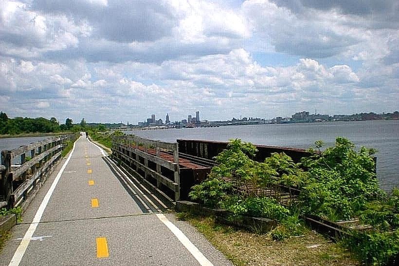
The East Bay Bike Path is a paved multi-use trail located in East Providence, Rhode Island. It extends for 14.6 miles along the eastern shore of Narragansett Bay.
Visual Characteristics
The path is constructed of asphalt, measuring approximately 10 feet in width. It traverses varied terrain, including coastal marshes, wooded areas, and urban waterfronts. The path offers views of Narragansett Bay, Providence River, and the Providence skyline. Vegetation includes salt-tolerant grasses, deciduous trees, and various coastal shrubs.
Location & Access Logistics
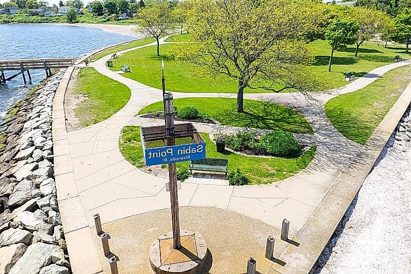
The path begins at India Point Park in Providence, accessible via I-95 North or South, exiting at 38A (Downtown Providence/Memorial Blvd). The primary access point in East Providence is at Rose Larisa Park, located off Veterans Memorial Parkway. Parking is available at designated lots along the path, including Rose Larisa Park and Bold Point Park. Public transportation options include the RIPTA bus route 60, which stops near the India Point Park entrance.
Historical & Ecological Origin
The East Bay Bike Path was developed on the former right-of-way of the New York, New Haven and Hartford Railroad. Construction began in the late 1980s and was completed in phases, with the full 14.6-mile length opening in 1993. The path's route passes through areas that were historically industrial and agricultural before the railroad's construction.
Key Highlights & Activities
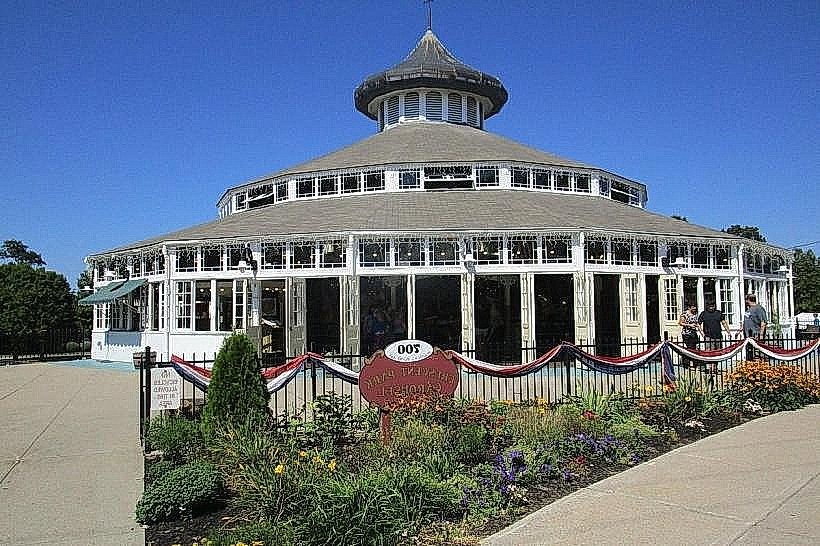
Cycling, running, and walking are the primary activities. The path provides access to several parks, including India Point Park, Bold Point Park, and Rose Larisa Park. Birdwatching is possible in the marshland sections. Fishing is permitted from designated areas along the bay.
Infrastructure & Amenities
Restrooms are available at major park access points. Benches are situated at intervals along the path. Shade is provided by trees in wooded sections. Cell phone signal (4G/5G) is generally consistent along the entire length of the path. Food vendors are not directly on the path but are available in nearby commercial areas in East Providence and Providence.
Best Time to Visit
For photography, early morning or late afternoon offers optimal lighting conditions. The best months for comfortable outdoor activity are April through October, avoiding the peak heat of summer. The path is accessible year-round, though winter conditions may affect surface traction.
Facts & Legends
A unique feature of the path is the presence of several historic stone bridges that were part of the original railroad infrastructure, now repurposed for pedestrian and cyclist use. One section of the path runs adjacent to the historic Squantum military base, though its structures are not directly accessible from the path.
Nearby Landmarks
- India Point Park (0.1km West)
- Bold Point Park (1.2km South)
- Providence River (Adjacent)
- Waterplace Park (2.5km West)
- Roger Williams Park Botanical Center (4.8km Southwest)