Information
Landmark: Eastern Neck National Wildlife RefugeCity: Ocean City
Country: USA Maryland
Continent: North America
Eastern Neck National Wildlife Refuge, Ocean City, USA Maryland, North America
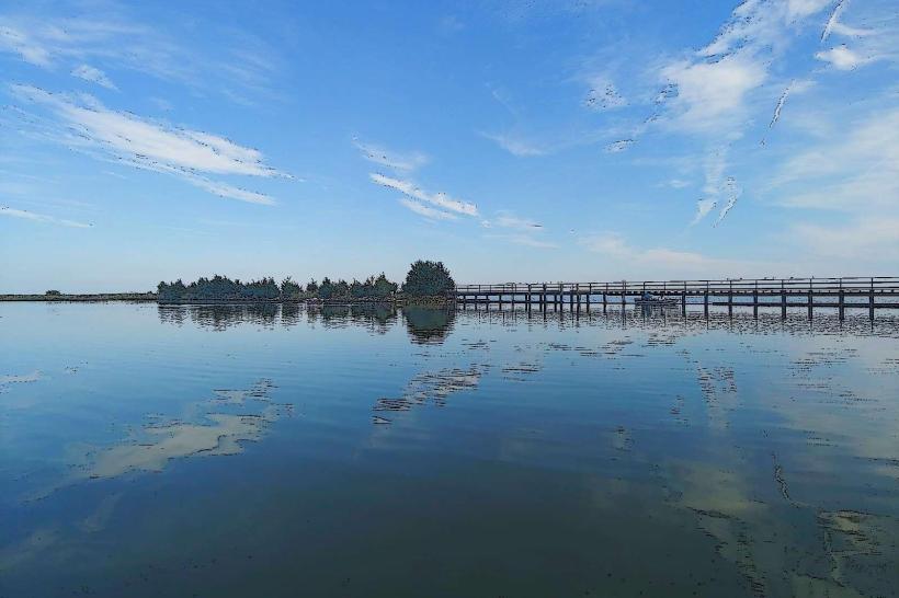
Eastern Neck National Wildlife Refuge is a protected area located on an island in the Chesapeake Bay, near Rock Hall, Maryland.
This refuge encompasses approximately 3,600 acres of diverse habitats, including marshes, forests, and meadows, serving as a critical stopover for migratory birds.
Visual Characteristics
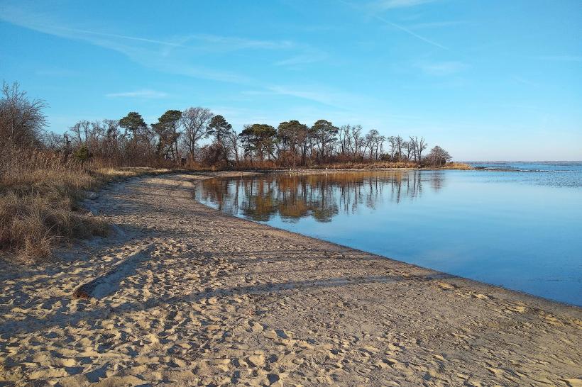
The refuge features tidal marshes dominated by saltmarsh cordgrass and cattails. Inland areas consist of mixed deciduous and coniferous forests, with stands of loblolly pine, oak, and maple. Open fields are maintained with native grasses and wildflowers. The shoreline is characterized by sandy beaches and mudflats, particularly visible during low tide.
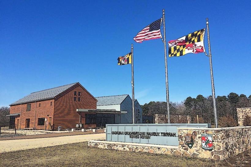
Location & Access Logistics
Eastern Neck National Wildlife Refuge is situated at the eastern end of Kent County, Maryland. Access is via State Route 20 (Main Street) in Rock Hall, which becomes Eastern Neck Road. The refuge entrance is approximately 5 miles from the center of Rock Hall. Parking is available at designated lots throughout the refuge, including near the visitor center and along the main road. No public transport directly serves the refuge; private vehicle is the primary access method.
Historical & Ecological Origin
The land comprising Eastern Neck National Wildlife Refuge was historically used for agriculture and private residences. It was established as a National Wildlife Refuge in 1962. Ecologically, it is a significant estuarine environment within the Chesapeake Bay watershed, providing essential breeding, nesting, and feeding grounds for waterfowl and other migratory birds.
Key Highlights & Activities
Birdwatching is a primary activity, with observation blinds available. Hiking is permitted on designated trails, including the 1.5-mile Shoreline Trail and the 1-mile Forest Trail. Fishing is allowed in designated areas during specific seasons. Photography of wildlife and landscapes is common. Kayaking and canoeing are possible in the tidal creeks and bay waters, with launch points at designated areas.
Infrastructure & Amenities
A small visitor contact station is present, offering information but limited services. Restrooms are available at the visitor contact station and at some parking areas. Shade is provided by the forest canopy along interior trails. Cell phone signal is intermittent within the refuge, with 4G coverage generally weak or absent in many areas. No food vendors are located within the refuge; visitors should bring their own provisions.
Best Time to Visit
For birdwatching, the spring (March-May) and fall (September-November) migration periods are optimal. Early morning and late afternoon offer the best lighting for photography. High tide is generally preferred for observing waterfowl in the marshes. Summer months can be hot and humid, with increased insect activity.
Facts & Legends
Eastern Neck Island was once the site of a small colonial settlement and later a farming community. A notable historical oddity is the presence of remnants of old stone walls and foundations from former homesteads scattered throughout the wooded areas. Local lore sometimes speaks of the island being a favored resting place for spirits of ancient mariners, though this is unsubstantiated.
Nearby Landmarks
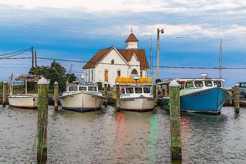
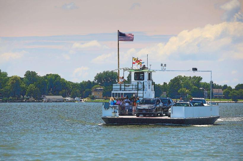
- Rock Hall Harbor (1.5km West)
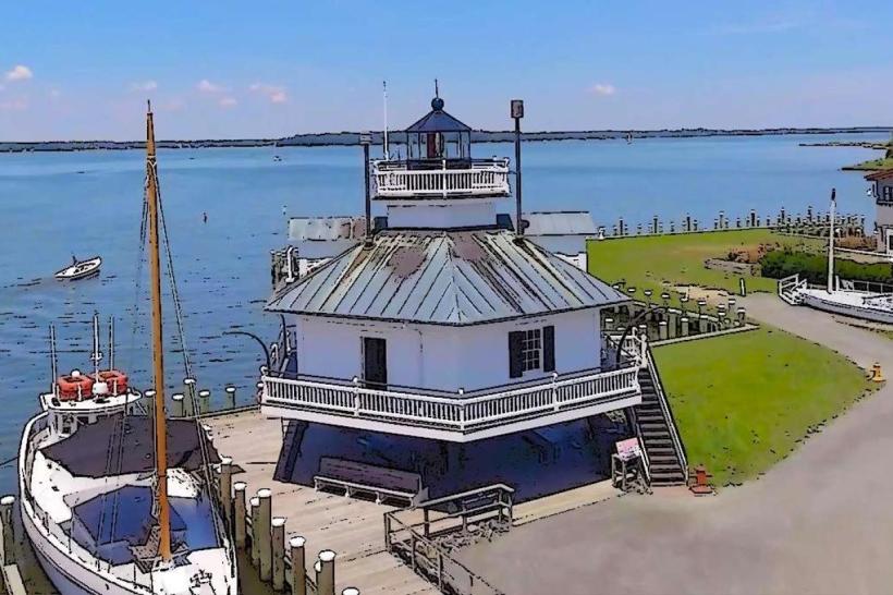
- Chesapeake Bay Maritime Museum (12km Southwest)
- Eastern Neck State Park (0.8km North)
- Ferry Point (3km South)