Information
Landmark: El Dorado National ForestCity: Sacramento
Country: USA California
Continent: North America
El Dorado National Forest, Sacramento, USA California, North America
El Dorado National Forest is a protected area located in the Sierra Nevada mountains of California, east of Sacramento.
This forest encompasses approximately 629,000 acres of diverse terrain, including forests, meadows, and lakes.
Visual Characteristics
The forest is characterized by dense coniferous forests, primarily Ponderosa pine, Jeffrey pine, white fir, and incense-cedar. Elevations range from approximately 3,000 feet to over 10,000 feet, resulting in varied vegetation density and tree types. Granite outcroppings and rocky slopes are common at higher elevations. Numerous lakes and rivers, such as the South Fork American River and Loon Lake, are present throughout the landscape. Snowpack is significant during winter months at higher elevations.
Location & Access Logistics
El Dorado National Forest is situated east of Sacramento, California. Access is primarily via U.S. Route 50, a major east-west highway. From Sacramento, take U.S. 50 East for approximately 50 miles to reach the western boundaries of the forest. Several forest roads branch off U.S. 50, providing access to different recreational areas. Parking is available at designated trailheads, campgrounds, and day-use areas. Some remote areas may require high-clearance vehicles. Public transport options are limited within the forest itself; visitors typically rely on private vehicles.
Historical & Ecological Origin
El Dorado National Forest was established as a National Forest on February 27, 1907. Its origin is tied to the conservation efforts of the early 20th century, aiming to protect timber resources and watersheds. Ecologically, the forest is part of the Sierra Nevada ecoregion, characterized by montane forests adapted to a Mediterranean climate with dry summers and wet, snowy winters. The geology is dominated by granitic rock formations from the Sierra Nevada batholith, shaped by glacial activity at higher elevations.
Key Highlights & Activities
Hiking is available on numerous trails, including sections of the Pacific Crest Trail. Camping is permitted at designated campgrounds and in dispersed areas where regulations allow. Fishing is possible in lakes and rivers, with species including trout. Boating and kayaking are available on larger lakes like Loon Lake and Ice House Reservoir. Rock climbing opportunities exist in specific areas. During winter, snowshoeing and cross-country skiing are popular activities.
Infrastructure & Amenities
Restrooms are available at most developed campgrounds and day-use areas. Shade is provided by the forest canopy in many locations. Cell phone signal is intermittent and generally unreliable within the forest, particularly in remote areas. Food vendors are not typically found within the forest boundaries; visitors should plan to bring their own supplies. Some campgrounds have potable water sources.
Best Time to Visit
The best time for general visitation is from late spring (May) through early fall (October), when most roads and trails are snow-free. Summer (July-August) offers the warmest weather for water activities. For photography, early morning and late afternoon provide optimal lighting conditions due to the angle of the sun. High tide is not a relevant factor for this inland forest. Snowfall typically begins in November and can persist until May at higher elevations.
Facts & Legends
The name "El Dorado" is derived from the Spanish legend of a mythical city of gold, reflecting the historical gold rush era in the surrounding region. A specific point of interest is the Desolation Wilderness, a federally designated wilderness area within the forest, known for its pristine alpine lakes and granite peaks, requiring permits for overnight stays.
Nearby Landmarks
- Lake Tahoe (20km Northeast)
- Sierra-at-Tahoe Ski Resort (15km East)
- Grover Hot Springs State Park (35km Southeast)
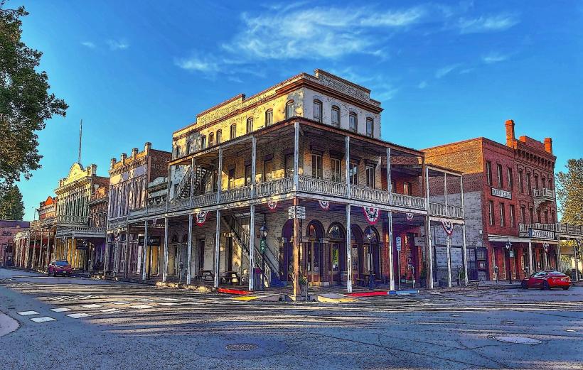
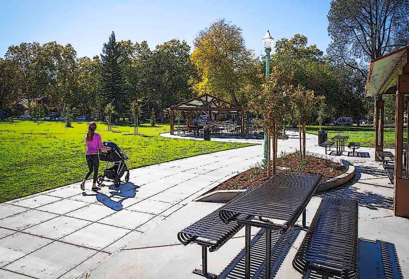
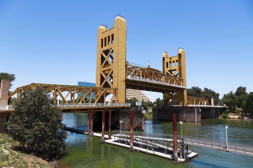
- Sacramento Historic Old Town (70km West)
- Donner Memorial State Park (50km North)