Landmark: Folsom Lake State Recreation Area
City: Sacramento
Country: USA California
Continent: North America
Folsom Lake State Recreation Area, Sacramento, USA California, North America
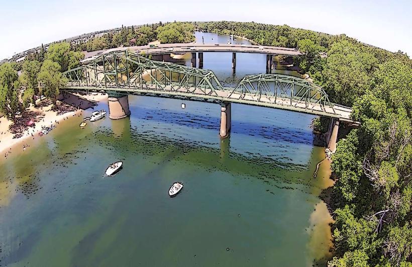
Folsom Lake State Recreation Area is a reservoir located northeast of Sacramento, California. It is managed by the California Department of Parks and Recreation.
Visual Characteristics
The lake's water color varies from deep blue to greenish-brown depending on water levels and sediment. The shoreline consists of exposed bedrock, gravel, and sandy beaches. Surrounding vegetation includes oak woodlands, chaparral, and grasslands. The Folsom Dam is a concrete gravity dam, 340 feet high and 1,400 feet long.
Location & Access Logistics
Folsom Lake is approximately 25 miles northeast of downtown Sacramento. Access is via US Route 50 East, exiting at Folsom Boulevard or Greenback Lane. Multiple parking areas are available at various access points, including Granite Bay, Folsom Point, and Beals Point. Parking fees apply. Public transport options are limited; regional bus services may reach Folsom city, requiring further local transit or taxi to the lake.
Historical & Ecological Origin
Folsom Dam was constructed by the U.S. Army Corps of Engineers between 1950 and 1955. Its primary purpose was flood control for the Sacramento area, along with water supply and hydroelectric power generation. The lake itself is an artificial reservoir formed by the damming of the American River.
Key Highlights & Activities
Activities include boating, sailing, water skiing, and fishing. Hiking and equestrian trails are present around the lake perimeter. Swimming is permitted in designated areas. Birdwatching is a common activity, particularly during migratory seasons.
Infrastructure & Amenities
Restrooms are available at major access points. Shaded picnic areas are provided. Cell phone signal (4G/5G) is generally available in developed areas but can be intermittent in more remote sections. Food vendors are typically present at Granite Bay and Folsom Point during peak season.
Best Time to Visit
For water activities, the summer months (June-August) offer the warmest temperatures. Spring (March-May) provides pleasant weather for hiking and offers wildflower displays. Early morning and late afternoon offer optimal lighting for photography. Water levels are highest in late spring and early summer.
Facts & Legends
The Folsom Dam spillway is designed to release water during extreme flood events. A notable historical event occurred in 1986 when the dam's emergency spillway was used for the first time in its history due to heavy rainfall.
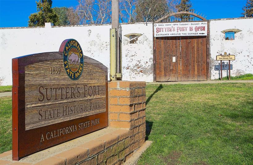
Nearby Landmarks
- California State Railroad Museum (10km Southwest)
- Old Sacramento Waterfront (12km Southwest)
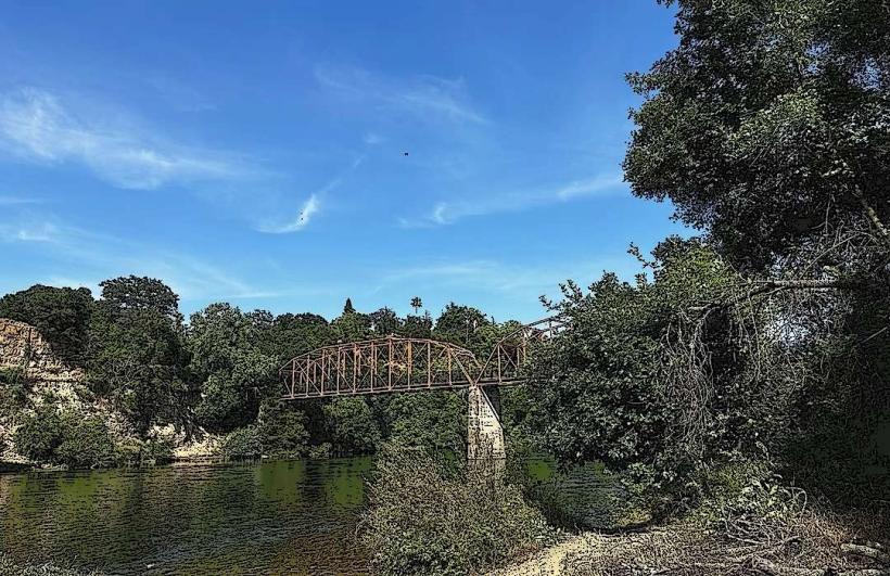
- American River Parkway (5km Southwest)
- Nimbus Dam (8km Southwest)
- Gold Rush City (4km Northwest)