Information
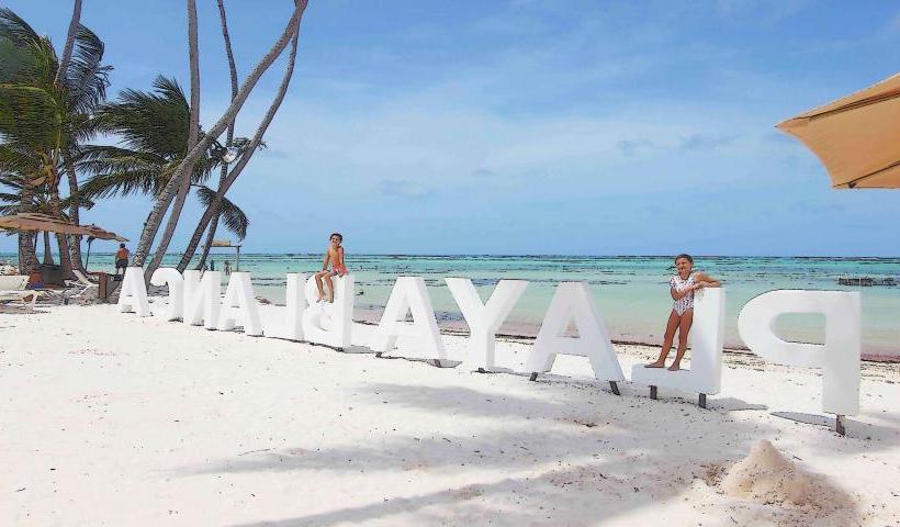
Landmark: El Farallon CliffCity: Punta Cana
Country: Dominican Republic
Continent: North America
El Farallon Cliff, Punta Cana, Dominican Republic, North America
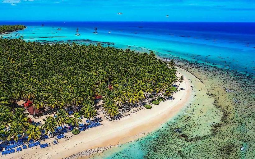
El Farallon Cliff is a natural limestone cliff face situated on the eastern coastline of the Dominican Republic, forming part of the Cap Cana resort complex near Punta Cana.
Visual Characteristics
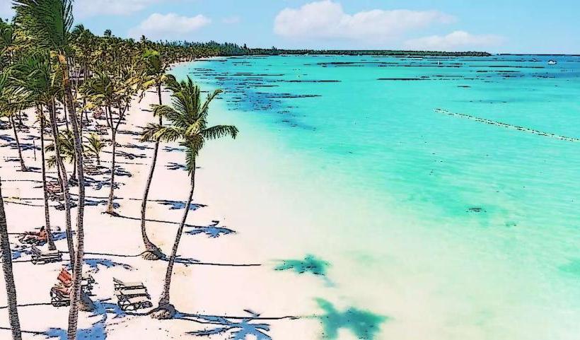
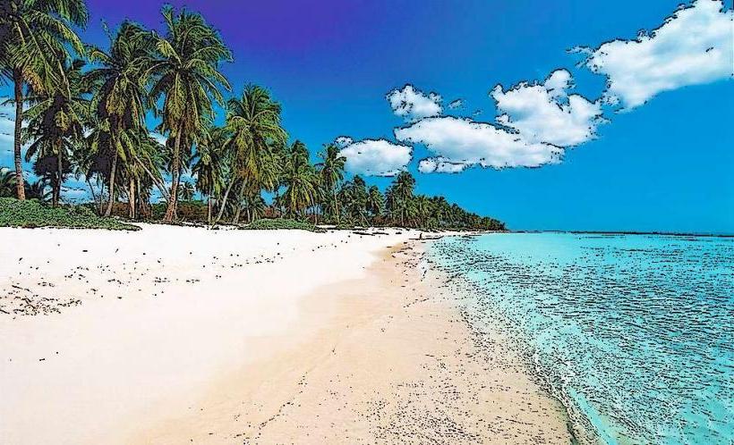
The cliff is composed primarily of white and grey limestone, exhibiting a rugged, eroded surface. It rises approximately 75 meters (246 feet) above sea level, presenting a sheer vertical drop to the Caribbean Sea. Sparse, drought-resistant vegetation clings to its upper ledges and crevices, contrasting with the pale rock.
Location & Access Logistics
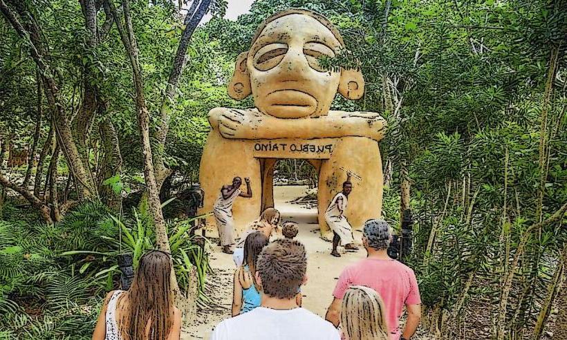
El Farallon Cliff is located within the private Cap Cana resort area, approximately 15 kilometers (9.3 miles) south of Punta Cana International Airport (PUJ). Access is typically gained through the main entrance of Cap Cana, off Boulevard Turístico del Este. Visitors often access viewpoints via Scape Park, which is situated adjacent to the cliff. Parking is available within Scape Park or at designated resort areas. Public transport directly to the cliff is not available; private taxis or resort shuttles are the primary means of access.
Historical & Ecological Origin
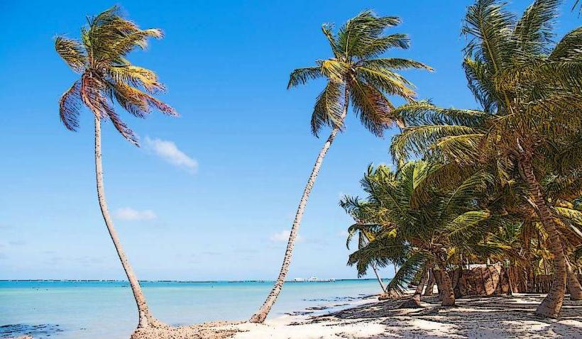
The cliff is a geological formation resulting from the uplift and erosion of ancient marine limestone, characteristic of the karst topography found in the region. Its formation spans millions of years, shaped by tectonic activity and the erosive forces of wind and sea. Ecologically, it provides a habitat for various seabirds and unique coastal flora adapted to the harsh, saline environment.
Key Highlights & Activities
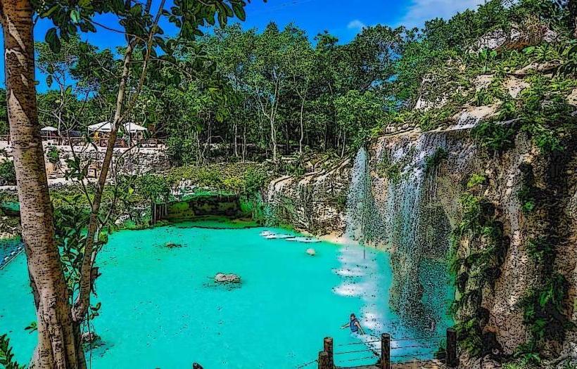
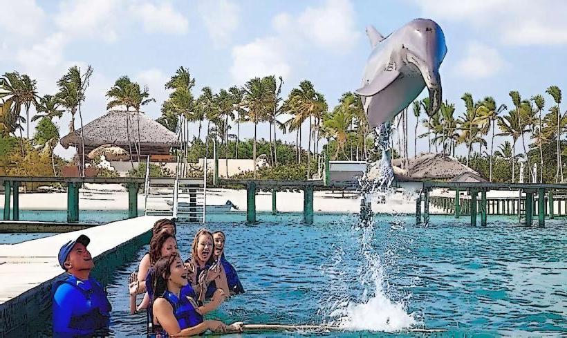
Viewing the expansive Caribbean Sea from the cliff's summit is a primary activity. Scape Park offers guided excursions that include access to specific viewpoints and activities such as zip-lining over the forest canopy towards the cliff. Photography of the dramatic coastline and the sheer rock face is popular. Boat tours operating from Cap Cana Marina sometimes offer views of the cliff from the sea.
Infrastructure & Amenities
Directly at the cliff edge, infrastructure is minimal. However, within Scape Park and the surrounding Cap Cana resort, restrooms, shaded areas, and food vendors are available. Cell phone signal (4G/5G) is generally reliable throughout the Cap Cana area, including near the cliff viewpoints. Emergency services are accessible through the resort's security network.
Best Time to Visit
The best time to visit for clear weather is during the dry season, from December to April. Morning hours, specifically between 8:00 AM and 11:00 AM, offer optimal lighting for photography, with the sun illuminating the cliff face and the turquoise waters below. Visiting during midday can result in harsh shadows and intense heat.
Facts & Legends
The cliff is a significant natural landmark within the Cap Cana development, often referred to as the "Green Cliff" due to the vegetation that thrives on its upper reaches. A local tip suggests that the most dramatic views are often experienced from specific platforms within Scape Park, which are engineered to provide safe and unobstructed panoramas.
Nearby Landmarks
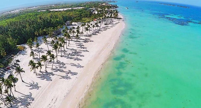
- Juanillo Beach: 2.5km South
- Scape Park: Adjacent (0.1km West)
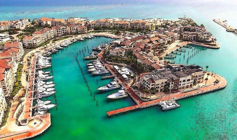
- Cap Cana Marina: 3.0km Southwest
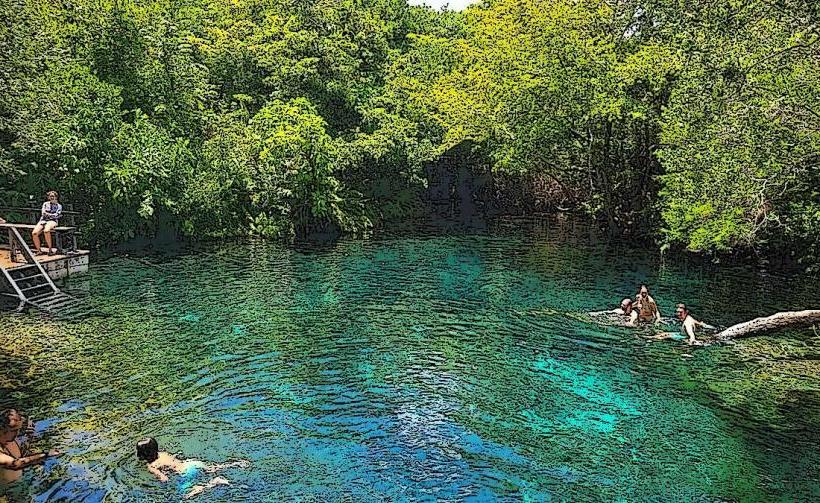
- Hoyo Azul: 1.5km Northwest (within Scape Park)