Information
Landmark: Fort Caroline National MemorialCity: Jacksonville
Country: USA Florida
Continent: North America
Fort Caroline National Memorial, Jacksonville, USA Florida, North America
Fort Caroline National Memorial preserves the site of a 16th-century French Huguenot settlement located on the St. Johns River in Jacksonville, Florida.
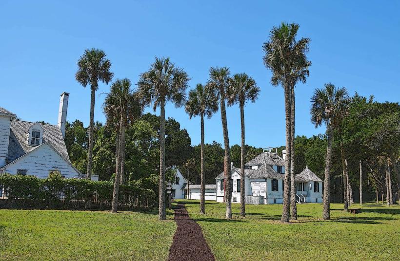
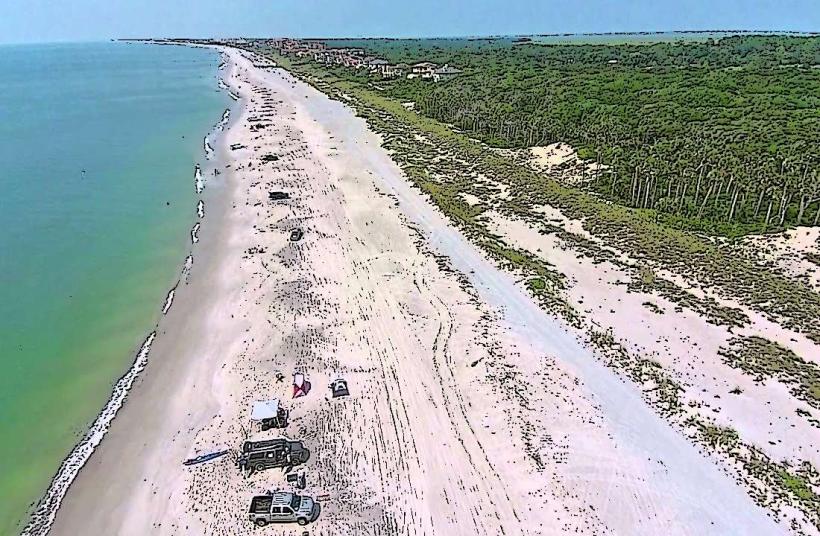
The memorial features a reconstructed 1564 French fort and overlooks the Timucuan Ecological and Historic Preserve.
Visual Characteristics
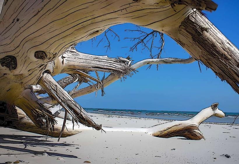
The reconstructed fort is constructed from tabby, a concrete-like material made from oyster shells, sand, and lime. It consists of low walls, bastions, and a central keep. The surrounding landscape is characterized by dense coastal marsh vegetation, including spartina grass and live oaks draped with Spanish moss. The St. Johns River is visible from the fort, appearing as a wide, brown waterway.
Location & Access Logistics
Fort Caroline National Memorial is situated at 12713 Fort Caroline Road, Jacksonville, FL 32225. It is approximately 10 miles east of downtown Jacksonville. Access is via Fort Caroline Road, which connects to Monument Road. Ample free parking is available at the visitor center and fort site. Public transport options are limited; the nearest bus route (JTA Route 19) stops several miles away, requiring a significant walk or taxi service.
Historical & Ecological Origin
The original Fort Caroline was established in 1564 by French Huguenots led by René Goulaine de Laudonnière, intended as a base for exploration and settlement in the New World. It was destroyed by the Spanish in 1565. The current structure is a 1960s reconstruction based on archaeological findings and historical accounts. The site is part of the Timucuan Ecological and Historic Preserve, an area shaped by estuarine processes and coastal plain geology.
Key Highlights & Activities
Visitors can explore the reconstructed fort, walk the nature trails within the preserve, and visit the Timucuan Preserve Visitor Center. The Ribault Monument, commemorating Jean Ribault's earlier expedition, is located approximately 1 mile north of the fort. Ranger-led programs are offered seasonally. Birdwatching is a common activity due to the diverse avian population.
Infrastructure & Amenities
Restrooms are available at the visitor center and near the fort. Shaded areas are limited to the visitor center and picnic tables. Cell phone signal (4G/5G) is generally available but can be intermittent within the preserve. No food vendors are located within the memorial; the nearest services are several miles away in urban areas.
Best Time to Visit
The best time for photography is in the early morning or late afternoon when the sun angle provides softer light. The months of March through May and September through November offer the most comfortable temperatures and lower humidity. High tide can affect visibility of marsh areas but does not impede access to the fort itself.
Facts & Legends
A local legend suggests that the ghost of a French soldier still patrols the fort grounds at night. Historically, the site represents one of the earliest European attempts at settlement in what is now the United States, predating St. Augustine by one year.
Nearby Landmarks
- Timucuan Ecological and Historic Preserve Visitor Center (0.1km West)
- Ribault Monument (1km North)
- Little Talbot Island State Park (15km Northeast)
- Kathryn Abbey Hanna Park (12km East)
- Jacksonville Arboretum & Gardens (18km Southwest)