Landmark: Foul Bay
City: Saint Philip
Country: Barbados
Continent: North America
Foul Bay, Saint Philip, Barbados, North America
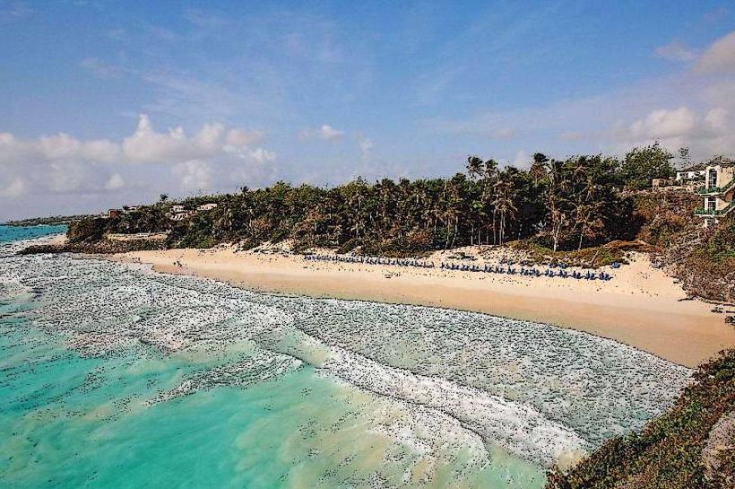
Foul Bay is a coastal area located on the southeastern coast of Barbados in the parish of Saint Philip. It is characterized by its undeveloped shoreline and significant wave action.
Visual Characteristics
The beach at Foul Bay consists of light brown, coarse sand. The water is typically a deep blue, with white foam generated by consistent wave breaks. The shoreline is bordered by a line of mature coconut palms and sea grape trees, with minimal undergrowth. The terrain is relatively flat, extending inland to agricultural fields.
Location & Access Logistics
Foul Bay is situated approximately 25 kilometers east of Bridgetown. Access is via Highway 4 (St. John's Development Road) which transitions into Highway 4B (Foul Bay Road). Turn south onto Foul Bay Road. Parking is available on an unpaved area adjacent to the beach, with capacity for approximately 20 vehicles. Public transport options are limited; however, Route 4B buses operate along the main road, requiring a short walk to the beach access point.
Historical & Ecological Origin
Foul Bay is a natural formation resulting from coastal erosion and sediment deposition over millennia. It is part of the wider coral reef system that fringes Barbados, with the offshore reef acting as a natural breakwater, contributing to the wave patterns observed. The vegetation is typical of coastal scrub and palm savanna found in the Caribbean.
Key Highlights & Activities
The primary activity at Foul Bay is observing the powerful surf. Swimming is generally not recommended due to strong currents and undertows. Beachcombing for shells and driftwood is possible. The area is also a nesting site for Hawksbill sea turtles during specific seasons (typically May to October), with designated protected zones.
Infrastructure & Amenities
There are no permanent restroom facilities or food vendors directly at Foul Bay. Shade is provided by the natural tree cover along the beach edge. Cell phone signal (4G) is generally available.
Best Time to Visit
For photography, early morning (07:00-09:00) and late afternoon (16:00-18:00) offer optimal lighting conditions. The wave action is consistent year-round, but conditions can be rougher during the Atlantic hurricane season (June to November). High tide can reduce the visible beach area.
Facts & Legends
The name "Foul Bay" is attributed to historical accounts of ships finding it difficult to anchor due to the strong currents and rough seas, making it an unfavorable landing spot. Local folklore suggests that the bay was once a favored haunt of pirates, though no concrete evidence supports this.
Nearby Landmarks
- Crane Beach (1.5km West)
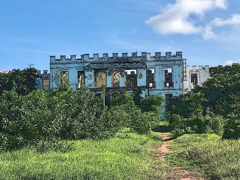
- Sam Lord's Castle (2.0km Southwest)
- Bottom Bay (2.5km Southwest)
- Harrisons Cave (6.0km Northwest)