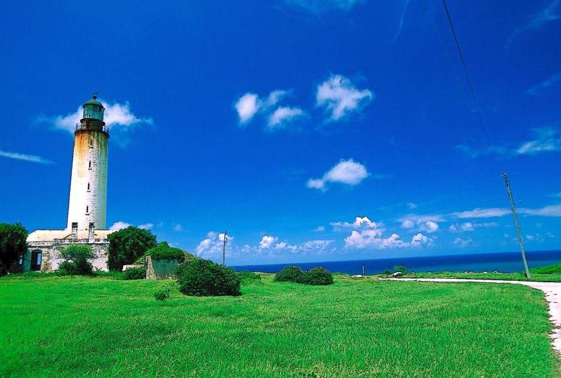
Landmark: Ragged Point Lighthouse
City: Saint Philip
Country: Barbados
Continent: North America
Ragged Point Lighthouse, Saint Philip, Barbados, North America
Ragged Point Lighthouse is a navigational aid located on the easternmost tip of Barbados in the parish of Saint Philip.
It is a concrete tower structure situated on a cliff overlooking the Atlantic Ocean.
Visual Characteristics
The lighthouse is a cylindrical concrete tower painted white. It stands approximately 75 feet (23 meters) tall. The lantern room at the top is enclosed by glass panels. A red band encircles the upper section of the tower.
Location & Access Logistics
Ragged Point Lighthouse is situated at the end of Highway 4, approximately 35 kilometers (22 miles) east of Bridgetown. Access is via Highway 4, which transitions into a narrower paved road leading directly to the lighthouse. Ample parking is available at the site. No public transport directly serves the lighthouse; private vehicle or taxi is required.
Historical & Ecological Origin
The current lighthouse was constructed in 1961. It replaced an earlier structure. The site is a limestone cliff formation, characteristic of Barbados's eastern coastline, subject to significant wave action from the Atlantic.
Key Highlights & Activities
Observation of the lighthouse structure. Viewing the Atlantic Ocean coastline. Photography of the coastal landscape. Access to the cliff edge for observation (use caution).
Infrastructure & Amenities
Restrooms are available at the adjacent Ragged Point Inn. Limited shade is provided by the lighthouse structure itself. Cell phone signal (4G/5G) is generally available. Food and beverages can be purchased at the Ragged Point Inn.
Best Time to Visit
For photography, early morning or late afternoon provides optimal lighting conditions due to the sun's angle. Weather is generally consistent year-round, though the Atlantic coast can experience rougher seas during the hurricane season (June to November).
Facts & Legends
The lighthouse is positioned on a promontory known locally as "Ragged Point" due to the eroded nature of the cliffs. The consistent wind patterns at this location are a significant factor in the coastal erosion observed.
Nearby Landmarks
- Ragged Point Inn (0.1km West)
- East Coast Road (Highway 4) (0.2km West)
- Bathsheba (15km Northwest)
- St. Nicholas Abbey (20km Northwest)
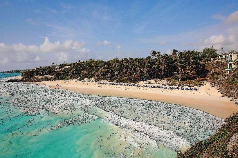
- Crane Beach (10km Southwest)