Information
Landmark: Freedom TrailCity: Boston
Country: USA Massachusetts
Continent: North America
Freedom Trail, Boston, USA Massachusetts, North America
The Freedom Trail is a 2.5-mile (4 km) red-brick path that winds through downtown Boston, Massachusetts, connecting 16 historically significant sites.
Visual Characteristics
The trail is marked by a painted red line or red bricks embedded in the pavement. It traverses urban streets, parks, and historic districts, passing by a variety of architectural styles ranging from colonial-era structures to modern buildings.
Location & Access Logistics
The trail begins at the Boston Common Visitor Center, located at 139 Tremont Street. It extends approximately 2.5 miles to the Bunker Hill Monument in Charlestown. Access is primarily on foot. Public transportation is readily available; the Massachusetts Bay Transportation Authority (MBTA) Green Line and Red Line subway services stop near multiple points along the trail, including Park Street, Government Center, and Haymarket stations. Parking is limited and expensive in the downtown area; utilizing public transport is recommended. Several paid parking garages are available near the starting point.
Historical & Ecological Origin
The Freedom Trail was conceived in 1951 by William F. Smith, a historian, to guide visitors through Boston's Revolutionary War-era sites. It was designed to be a self-guided walking tour, allowing individuals to explore the city's foundational history at their own pace. The trail itself is an urban construct, not a natural formation.
Key Highlights & Activities
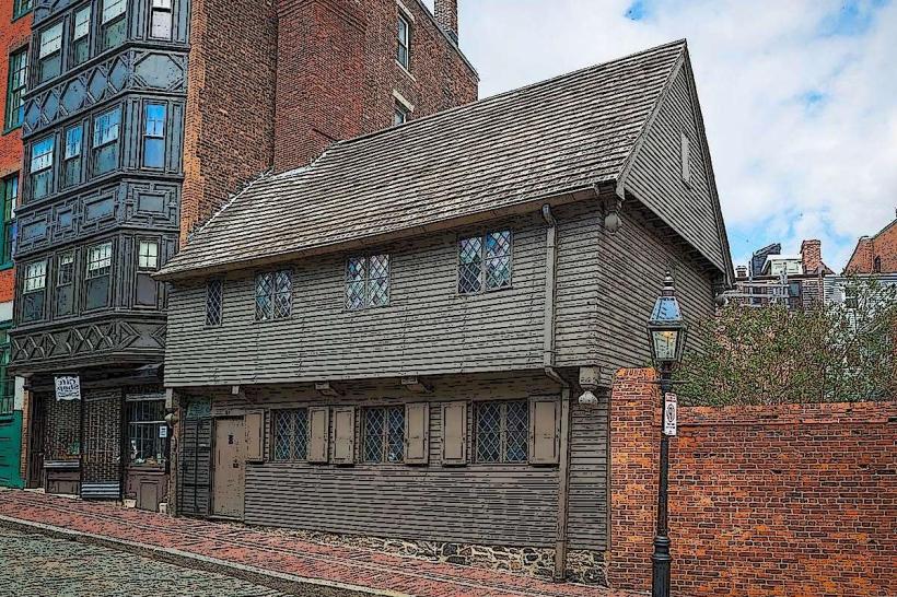
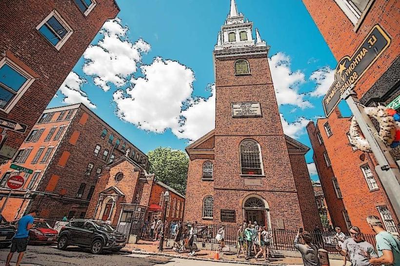
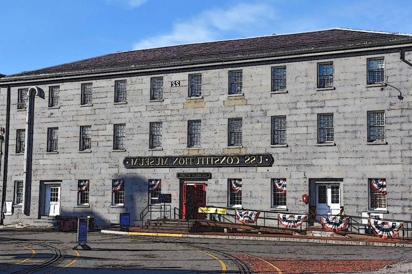
Activities include walking the entire trail, visiting sites such as the Massachusetts State House, Park Street Church, Granary Burying Ground, King's Chapel, Old South Meeting House, Old State House, site of the Boston Massacre, Faneuil Hall, Paul Revere House, Old North Church, Copp's Hill Burying Ground, USS Constitution, and Bunker Hill Monument. Interpretive signs are present at each location. Guided tours are available from various organizations, departing frequently from the Visitor Center and Faneuil Hall.
Infrastructure & Amenities
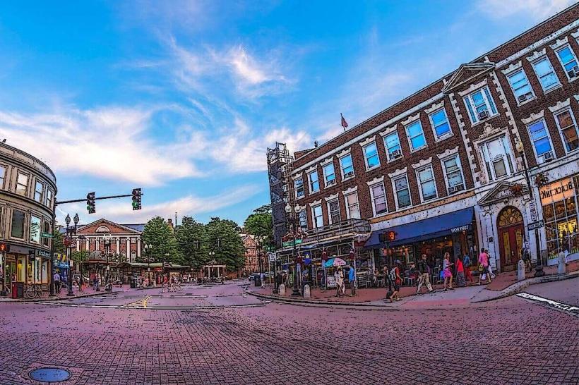
Restrooms are available at several key sites, including the Boston Common Visitor Center, Faneuil Hall Marketplace, and the USS Constitution Museum. Shade is available in parks and under trees along certain sections. Cell phone signal (4G/5G) is generally strong throughout the urban areas. Food vendors and restaurants are abundant around Faneuil Hall Marketplace and Quincy Market.
Best Time to Visit
The best time of day for photography is generally mid-morning or late afternoon to avoid harsh shadows. The most favorable months for visiting are April through October, offering milder weather. Winter visits are possible but require preparation for cold temperatures and potential snow or ice.
Facts & Legends
A unique tip for visitors is to consider walking the trail in reverse, starting at the Bunker Hill Monument and ending at Boston Common. This often allows for a less crowded experience, particularly at the initial sites. The red line itself was originally painted by the city to connect the sites, and its maintenance is an ongoing effort.
Nearby Landmarks
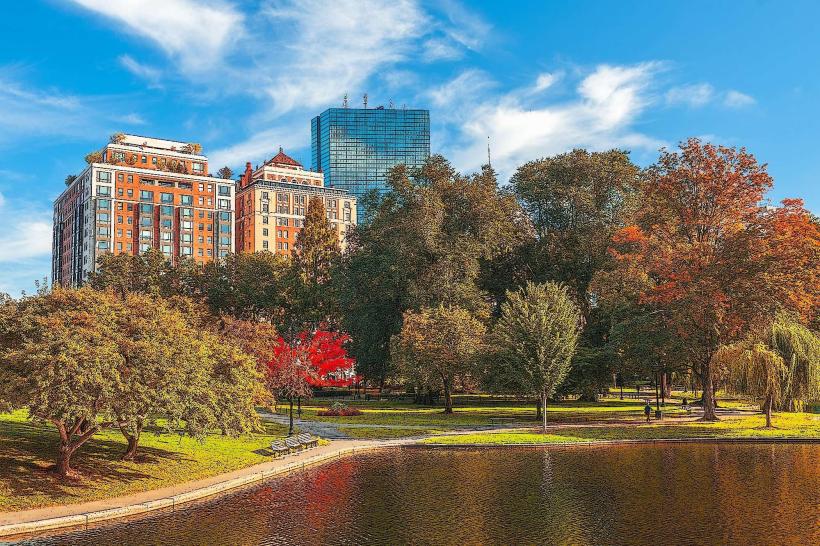
- Boston Public Garden (0.1km West)
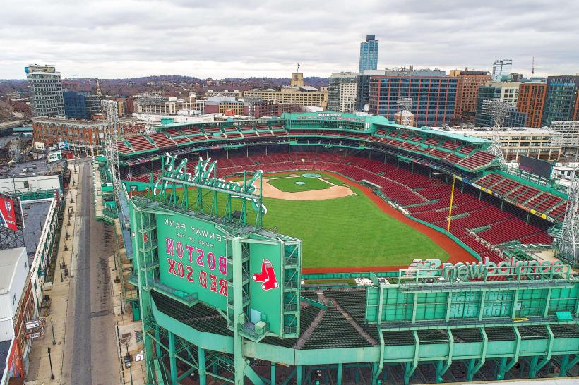
- Faneuil Hall Marketplace (0.8km East)
- New England Aquarium (1.2km East)
- North End (0.5km Northeast)
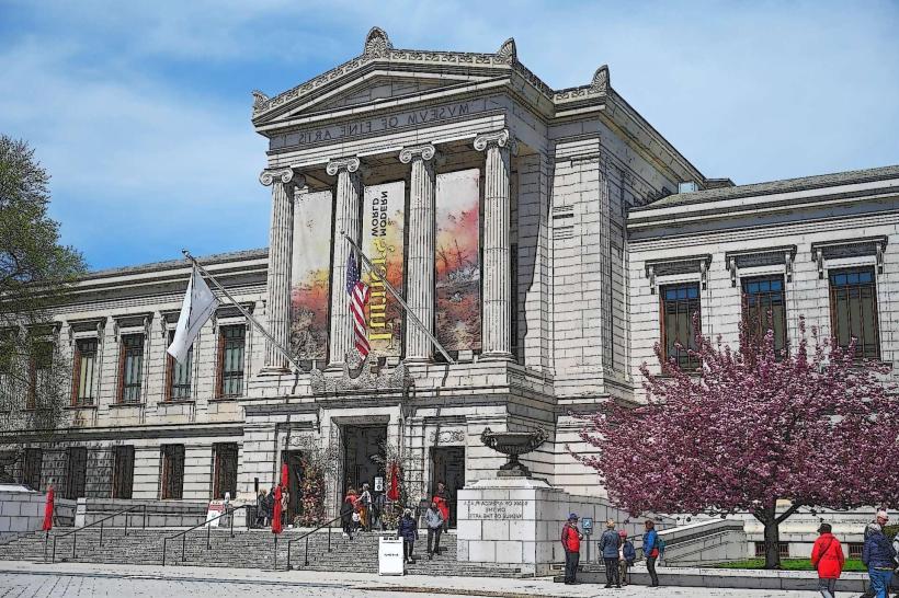
- Museum of Fine Arts, Boston (3.5km Southwest)