Information
Landmark: Gallup ParkCity: Ann Arbor
Country: USA Michigan
Continent: North America
Gallup Park, Ann Arbor, USA Michigan, North America
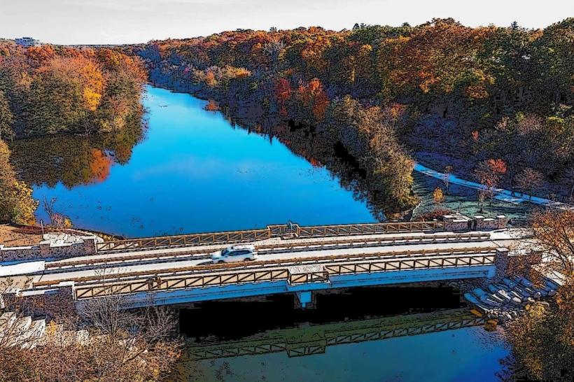
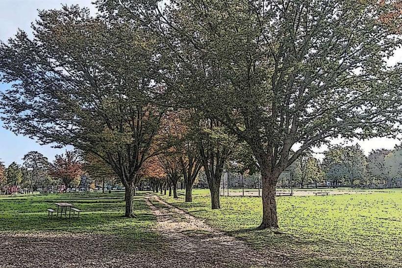
Gallup Park is a 68.7-acre public park situated along the Huron River in Ann Arbor, Michigan. It functions as a recreational area and a natural preserve.
Visual Characteristics
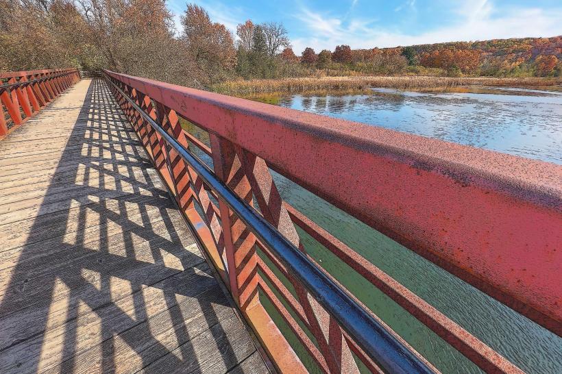
The park features a mix of open lawn areas, mature deciduous trees, and a significant portion of the Huron River shoreline. The riverbanks are characterized by a combination of sandy soil and exposed tree roots. Vegetation density varies, with open areas near the main facilities and denser woodland along the river and trails.
Location & Access Logistics
Gallup Park is located at 3000 Fuller Road, Ann Arbor, MI 48105. It is approximately 3.5 kilometers (2.2 miles) northeast of downtown Ann Arbor. Access is via Fuller Road, which connects to US-23. The park has a dedicated, paved parking lot with capacity for approximately 150 vehicles. Public transport is available via the Ann Arbor Area Transportation Authority (AAATA) bus route 23, which stops directly at the park entrance.
Historical & Ecological Origin
Gallup Park was established in 1957 through a land donation and subsequent city acquisition. The land was historically part of a larger agricultural estate. Ecologically, the park is situated within the Great Lakes watershed, with the Huron River being a primary drainage channel. The river's course through the park is a result of glacial activity and subsequent erosion.
Key Highlights & Activities
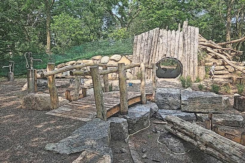
Activities include canoe and kayak rentals from the park's boathouse, available seasonally. Fishing is permitted along designated river access points. A paved pathway, part of the larger Border-to-Border Trail, runs through the park for walking, jogging, and cycling. Playground equipment is located in the central area. Birdwatching is common due to the riverine environment.
Infrastructure & Amenities
Restrooms are available near the main parking lot and boathouse. Several picnic areas are equipped with tables and grills. Shade is provided by mature trees throughout the park. Cell phone signal (4G/5G) is generally reliable within the park. No on-site food vendors operate within the park; however, nearby commercial areas are accessible via Fuller Road.
Best Time to Visit
For photography, early morning or late afternoon light offers optimal conditions due to the river's orientation. The best months for outdoor activities are May through October, with warmer temperatures and full foliage. Kayaking and canoeing are best during daylight hours when water levels are stable. High tide is not a significant factor for park access or activities.
Facts & Legends
A specific historical oddity is the presence of remnants of an old millrace, a channel used to divert water for industrial purposes, which can still be observed in certain sections of the park's wooded areas, dating back to the late 19th century.
Nearby Landmarks
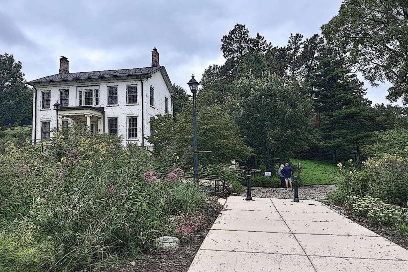
- University of Michigan Museum of Natural History (1.8km Southwest)
- Nichols Arboretum (1.2km West)
- Matthaei Botanical Gardens (2.5km Northeast)
- Ann Arbor Farmers Market (3.2km Southwest)
- Kerrytown Historic District (3.3km Southwest)