Landmark: Gavins Point Dam
City: Yankton
Country: USA South Dakota
Continent: North America
Gavins Point Dam, Yankton, USA South Dakota, North America
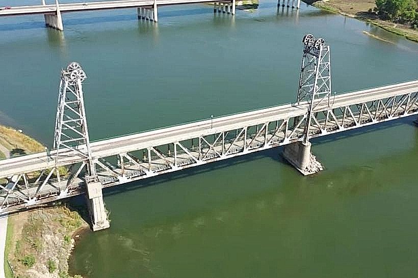
Gavins Point Dam is a concrete and earth-fill dam located on the Missouri River near Yankton, South Dakota, USA.
Visual Characteristics
The dam structure consists of a concrete spillway section measuring 1,000 feet in length and an earth-fill embankment section extending 10,200 feet. The spillway is composed of reinforced concrete, and the embankment is constructed from compacted earth and rock. The reservoir, Lewis and Clark Lake, has a shoreline of approximately 98 miles.
Location & Access Logistics
Gavins Point Dam is situated approximately 4 miles west of Yankton, South Dakota, along State Highway 52. Access to the dam and surrounding recreation areas is via State Highway 52 and County Road 5. Ample paved parking is available at designated visitor areas and overlooks. Public transportation is not available to the dam site.
Historical & Ecological Origin
Construction of Gavins Point Dam began in 1952 and was completed in 1957. It was built by the U.S. Army Corps of Engineers as part of the Pick-Sloan Missouri River Basin Program. Its primary purpose is flood control, hydroelectric power generation, and water supply for downstream communities.
Key Highlights & Activities
Visitors can walk across the dam's crest for views of Lewis and Clark Lake and the Missouri River. The Gavins Point Dam Visitor Center offers exhibits on the dam's operation and local ecology. Boating and fishing are permitted on Lewis and Clark Lake. Hiking trails are available in the adjacent Lewis and Clark Recreation Area.
Infrastructure & Amenities
Restrooms are available at the Visitor Center and designated picnic areas. Shade structures are present in picnic areas. Cell phone signal (4G/5G) is generally available in the vicinity. Food vendors are not permanently located at the dam, but concessions may operate seasonally in the nearby recreation area.
Best Time to Visit
For optimal lighting for photography of the dam structure, early morning or late afternoon provides favorable angles. The months of May through October offer the most pleasant weather for outdoor activities. Water levels in Lewis and Clark Lake fluctuate based on seasonal precipitation and water management operations.
Facts & Legends
The dam's spillway has 10 gates, each capable of releasing up to 25,000 cubic feet of water per second. A local anecdote suggests that during periods of extreme drought, the water level in Lewis and Clark Lake has been so low that the original riverbed of the Missouri River became visible near the dam.
Nearby Landmarks
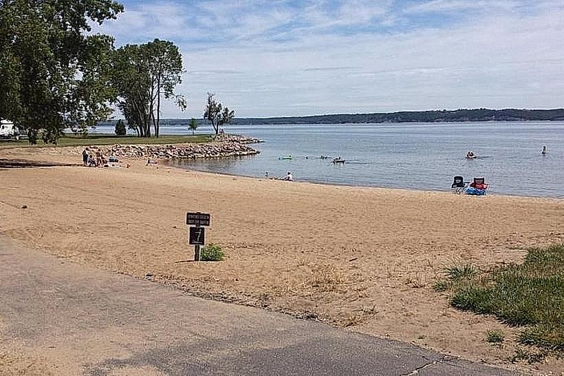
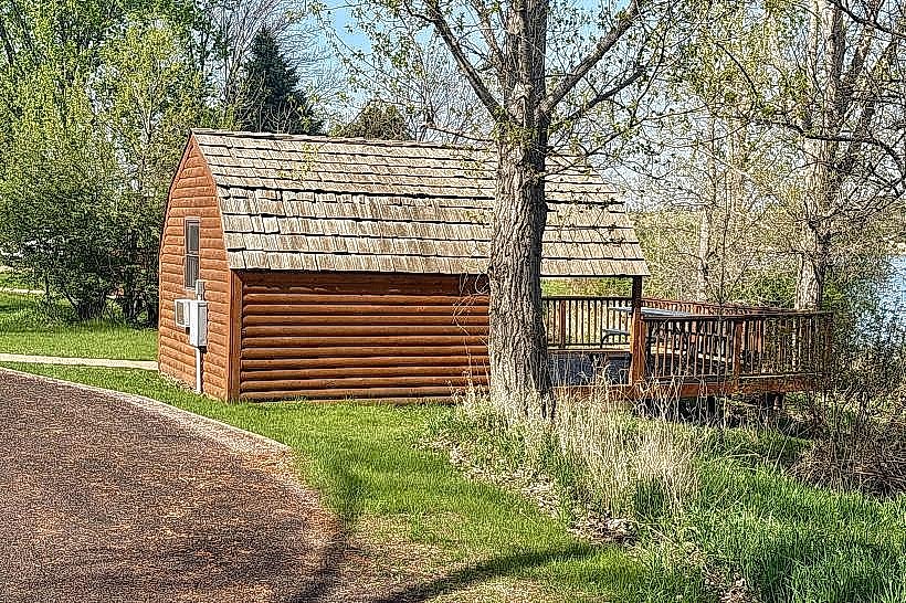
- Lewis and Clark Recreation Area (0.1km West)
- Yankton Trail System (1.5km East)
- Missouri National Recreational River (2.0km South)
- Lewis and Clark Interpretive Center (4.0km East)
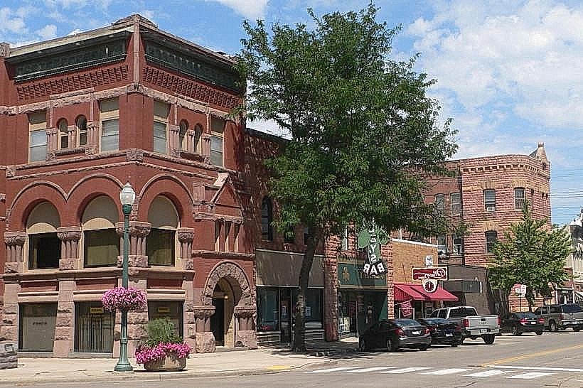
- Downtown Yankton (4.5km East)