Landmark: Lewis and Clark Recreation Area
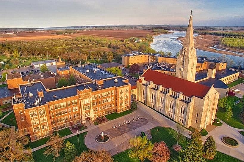
City: Yankton
Country: USA South Dakota
Continent: North America
Lewis and Clark Recreation Area, Yankton, USA South Dakota, North America
Lewis and Clark Recreation Area is a state park situated in Yankton, South Dakota, along the Missouri River. It encompasses a significant portion of the Lewis and Clark Lake.
Visual Characteristics
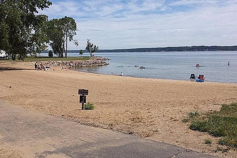
The park features a varied landscape including rolling prairie, wooded bluffs, and the expansive Lewis and Clark Lake. Shorelines consist of a mix of sandy beaches and rocky outcrops. Vegetation is primarily grassland with scattered deciduous trees, particularly along the bluffs and riverbanks. The lake itself is a large reservoir with a blue-gray water color, influenced by sediment load.
Location & Access Logistics
The main entrance is located 8 miles west of Yankton, South Dakota, accessible via State Highway 50. The park covers approximately 2,500 acres. Ample parking is available at various points of interest, including campgrounds, beaches, and trailheads. Public transport is not available directly to the park; private vehicle is the primary mode of access.
Historical & Ecological Origin
Lewis and Clark Recreation Area was established to provide public access to Lewis and Clark Lake, which was formed by the construction of the Gavins Point Dam, completed in 1957. The dam and lake are part of the Pick-Sloan Missouri Basin Program, designed for flood control, hydroelectric power generation, and recreation. Ecologically, the area represents a transition zone between the Great Plains and the Missouri River valley, supporting diverse flora and fauna.
Key Highlights & Activities
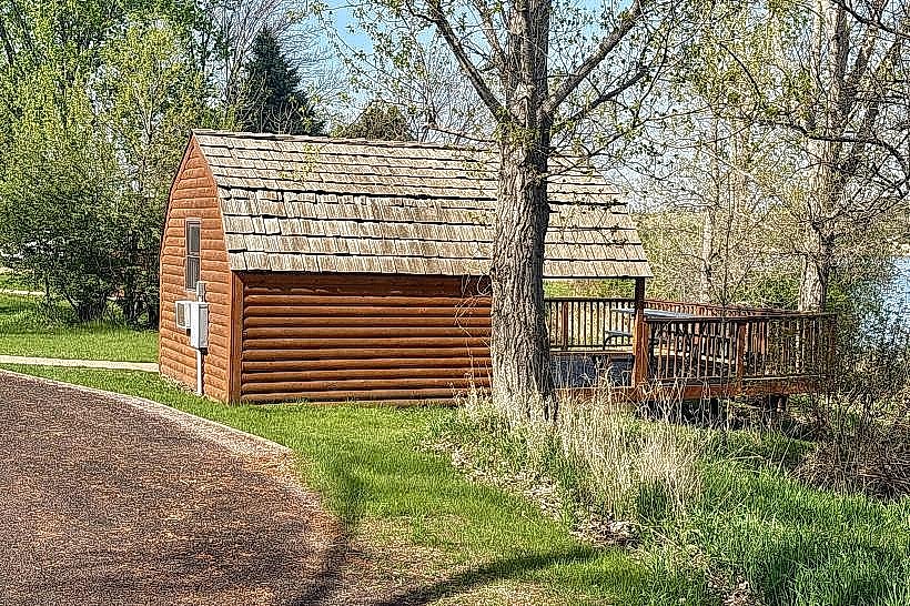
Activities include boating and water skiing on Lewis and Clark Lake. Designated swimming beaches are available. Hiking trails traverse the bluffs and shoreline, offering views of the lake. Fishing is permitted, with species including walleye, crappie, and channel catfish. Campgrounds provide overnight stays. The Lewis and Clark Interpretive Center offers exhibits on the expedition and the area's natural history.
Infrastructure & Amenities
Restrooms and shower facilities are available in developed campground areas. Picnic shelters with tables are located throughout the park. Shade is provided by trees in designated picnic areas and campgrounds. Cell phone signal (4G/5G) is generally available in most developed areas of the park, though it can be intermittent in more remote sections. Food vendors are typically located near the main visitor center and marina during peak season.
Best Time to Visit
The best time for water-based activities is from May through September, when water temperatures are suitable for swimming and boating. For hiking and wildlife viewing, spring (April-May) and fall (September-October) offer cooler temperatures and clearer skies. The lake is generally at its fullest during the summer months. Photography is best in the early morning or late afternoon for softer light on the landscape and water.
Facts & Legends
A specific point of interest is the replica of the keelboat used by the Lewis and Clark Expedition, which is sometimes docked near the Lewis and Clark Interpretive Center. The lake itself is a significant reservoir, holding a large volume of water that influences regional water management.
Nearby Landmarks
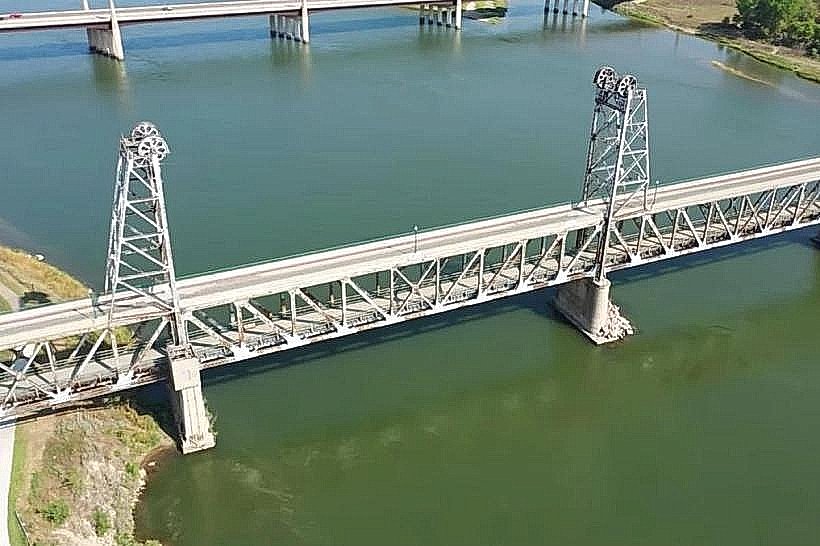
- Gavins Point Dam (0.8km West)
- Lewis and Clark Interpretive Center (1.2km West)
- Chief White Crane Recreation Area (4.5km Southwest)
- Weigand Recreation Area (3.1km Northwest)