Landmark: Għargħur Gap
City: Naxxar
Country: Malta
Continent: Europe
Għargħur Gap, Naxxar, Malta, Europe
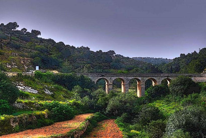
Għargħur Gap is a prominent geological fault line and topographical depression located on the island of Malta. It serves as a natural boundary and passage between the towns of Għargħur and Naxxar.
Visual Characteristics
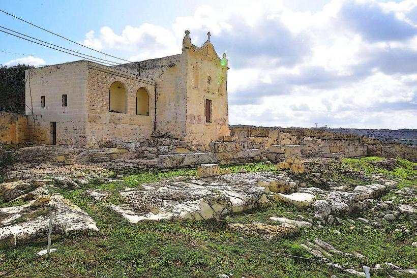
The Għargħur Gap is characterized by a deep, elongated depression in the limestone bedrock, forming a valley-like structure. Its exposed sides consist primarily of Globigerina Limestone and Upper Coralline Limestone, presenting a pale yellow to off-white coloration. The gap extends for approximately 1.5 kilometers and varies in width, reaching a maximum depth of about 50 meters. The slopes are covered with sparse Mediterranean garrigue vegetation, including wild thyme and various grasses.
Location & Access Logistics
The Għargħur Gap is situated on the northern side of Malta, approximately 2 kilometers north of Naxxar town center and 1.5 kilometers west of Għargħur village. Primary access is via Triq il-Wied (Valley Road), which traverses the gap and connects Naxxar to Għargħur. Limited roadside parking is available along Triq il-Wied. Public transport options include bus routes 202 and 203, with stops located near the eastern and western approaches to the gap.
Historical & Ecological Origin
The Għargħur Gap is a geological fault line, specifically a graben, formed by tectonic activity during the Miocene epoch. It constitutes a segment of the larger Great Fault system that dissects the island of Malta. The depression resulted from the downward displacement of a block of land between two parallel normal faults, exposing older limestone strata.
Key Highlights & Activities
Hiking is possible along the valley floor and adjacent ridges, offering views of the geological formations. Birdwatching opportunities exist, particularly during migratory seasons, as the gap functions as a natural corridor. Photography of the geological features and the surrounding rural landscape is a common activity.
Infrastructure & Amenities
There are no dedicated restrooms or shaded areas within the Għargħur Gap itself. Cell phone signal (4G/5G) is generally available throughout the area. Food vendors are not present directly at the gap; the nearest cafes and restaurants are located in the nearby towns of Naxxar and Għargħur, approximately 1.5-2 kilometers away.
Best Time to Visit
The optimal time to visit for hiking and photography is during the cooler months, from October to May, to avoid the intense summer heat. Early morning or late afternoon provides the best lighting for photography, enhancing the contours of the limestone cliffs. There are no specific high/low tide requirements as it is an inland geological feature.
Facts & Legends
Local folklore suggests that the Għargħur Gap was once a much deeper, impassable chasm, traversed only by ancient pathways known to a select few. A practical tip for visitors is to wear sturdy footwear, as the terrain can be uneven and rocky, especially off the main road.
Nearby Landmarks
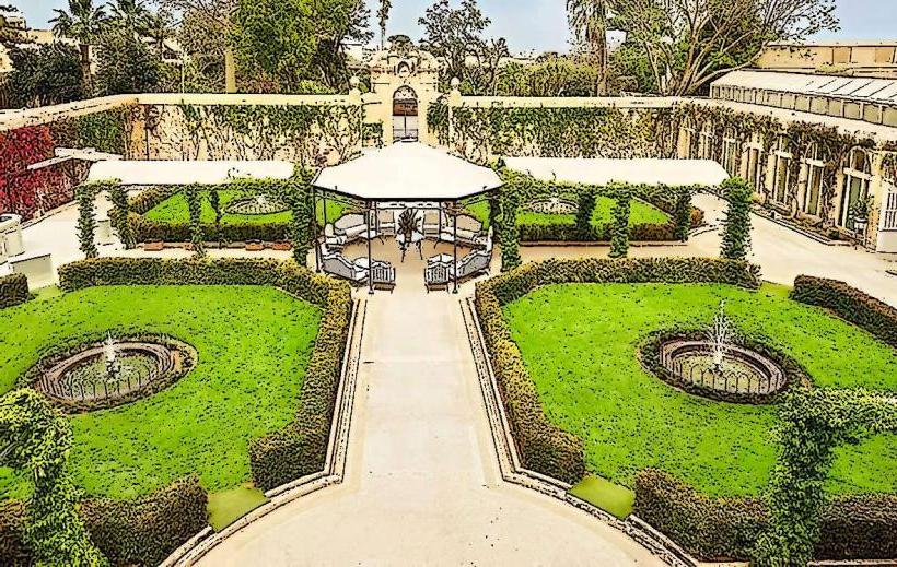
- Palazzo Parisio & Gardens: 2.5km South
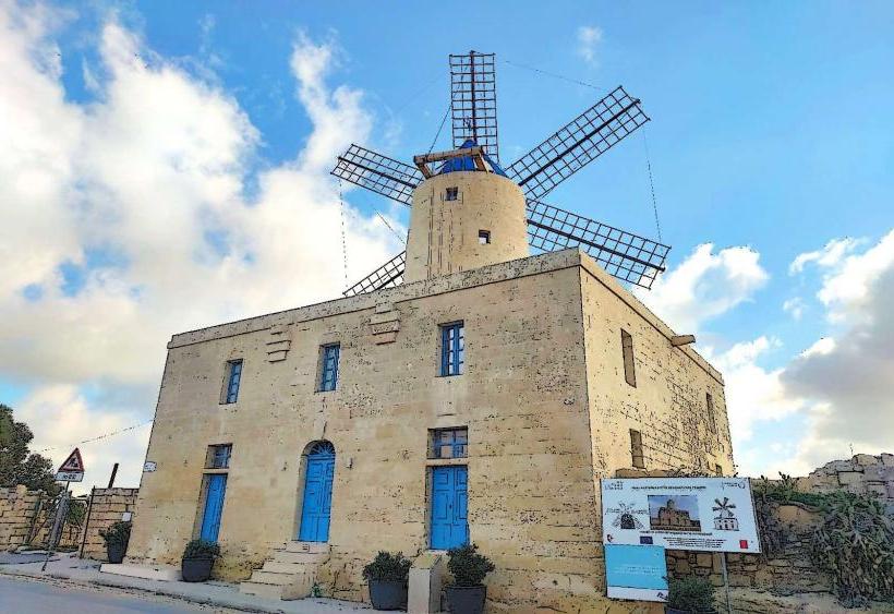
- Victoria Lines (Dwejra Lines): 1.0km West
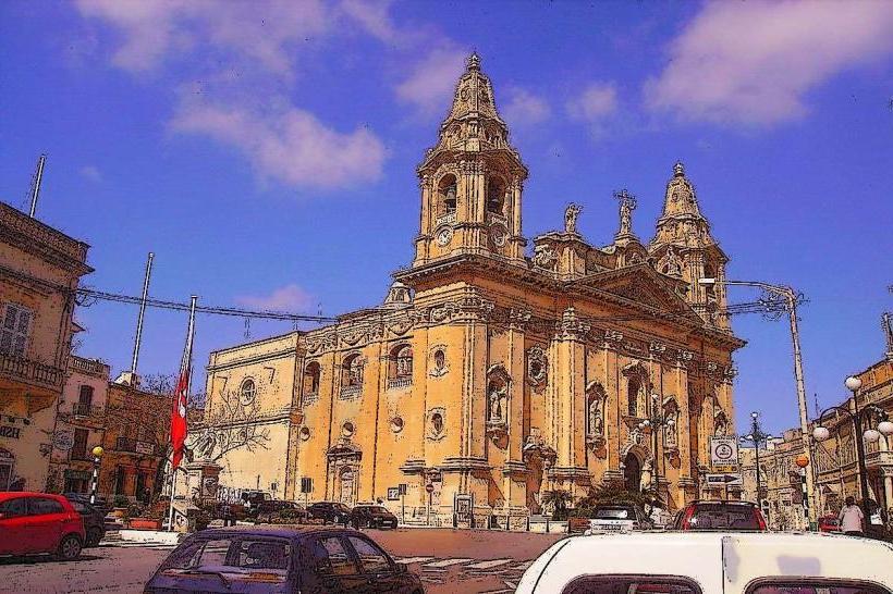
- Naxxar Parish Church: 2.0km South
- Salina Nature Reserve: 3.5km North-East