Landmark: Għargħur Valley
City: Naxxar
Country: Malta
Continent: Europe
Għargħur Valley, Naxxar, Malta, Europe
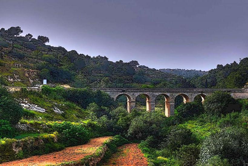
Għargħur Valley is a natural depression situated between the localities of Naxxar and Għargħur in Malta. It serves as a significant water catchment area and ecological corridor.
Visual Characteristics
Għargħur Valley features steep limestone rock faces, characteristic of Maltese valleys. The valley floor is primarily composed of fertile soil supporting dense Mediterranean garrigue and maquis vegetation, including carob trees, wild olives, and various shrubs. Seasonal rainwater forms temporary streams, but no permanent water body exists.
Location & Access Logistics
Għargħur Valley is situated between the urban areas of Naxxar and Għargħur. Access points include rural roads off Triq San Pawl in Naxxar and Triq il-Wied in Għargħur. Limited roadside parking is available near these access points. Public transport via bus routes 202 and 203 serves nearby Naxxar, with stops approximately 1km from valley access points.
Historical & Ecological Origin
Għargħur Valley is a geologically formed karstic valley, sculpted by millennia of rainwater erosion through the Upper Coralline Limestone and Globigerina Limestone strata. Ecologically, it is classified as a Mediterranean valley ecosystem, supporting diverse flora and fauna adapted to semi-arid conditions.
Key Highlights & Activities
Walking trails traverse the valley floor and slopes, suitable for hiking. Birdwatching is possible, particularly during migratory seasons. Photography of geological formations and indigenous plant life is a common activity.
Infrastructure & Amenities
No public restrooms or dedicated shade structures are present within the valley itself. Cell phone signal (4G/5G) is generally available throughout the area. No food vendors are located directly within the valley; the nearest amenities are in the adjacent towns of Naxxar and Għargħur.
Best Time to Visit
The best time to visit is during the cooler months, from October to May, to avoid high summer temperatures. Early morning or late afternoon offers optimal lighting for photography. No tide requirements apply as it is an inland valley.
Facts & Legends
The valley contains several ancient cart ruts carved into the limestone, suggesting its use as a passage since prehistoric times. A local tip is to explore the smaller, less-defined paths for unique perspectives of the valley's rock formations.
Nearby Landmarks
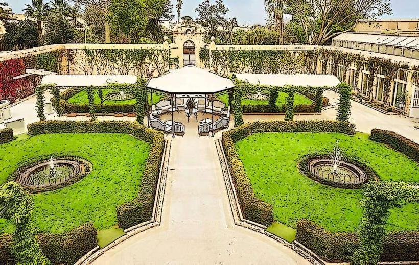
- Palazzo Parisio & Gardens: 1.5km South-West
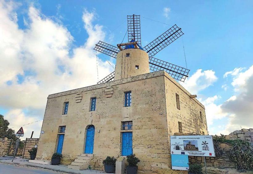
- Victoria Lines (Naxxar Section): 1.0km West
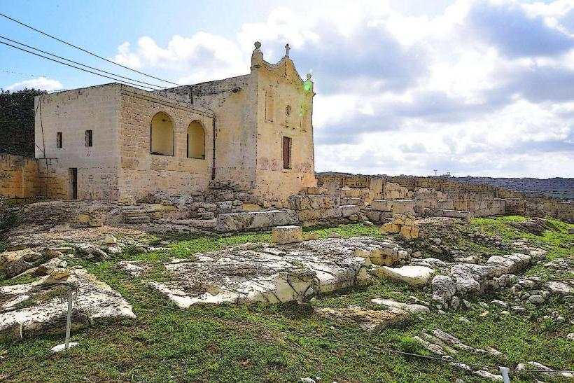
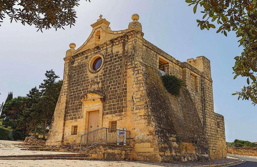
- Chapel of St. Michael the Archangel: 0.8km North-East
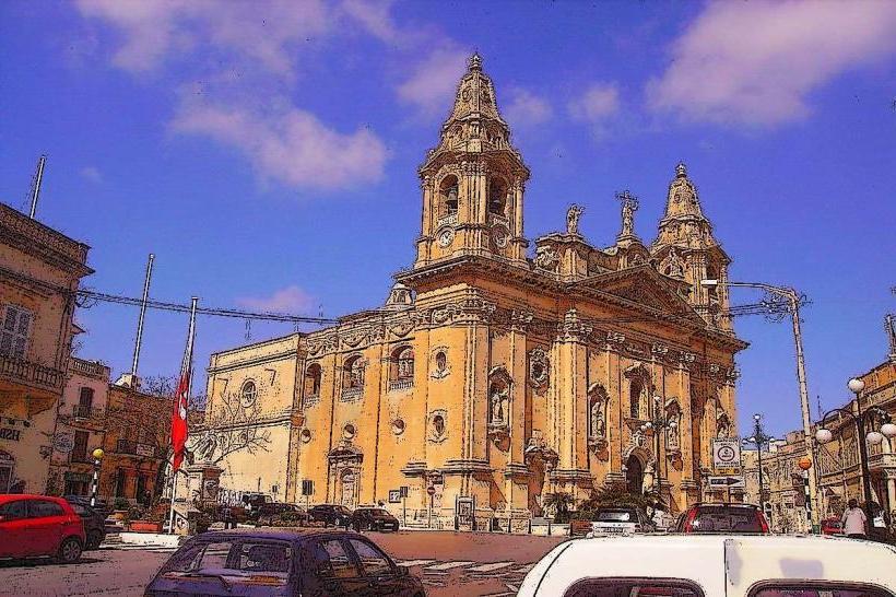
- Sanctuaries of Our Lady (Mosta Dome): 3.0km South