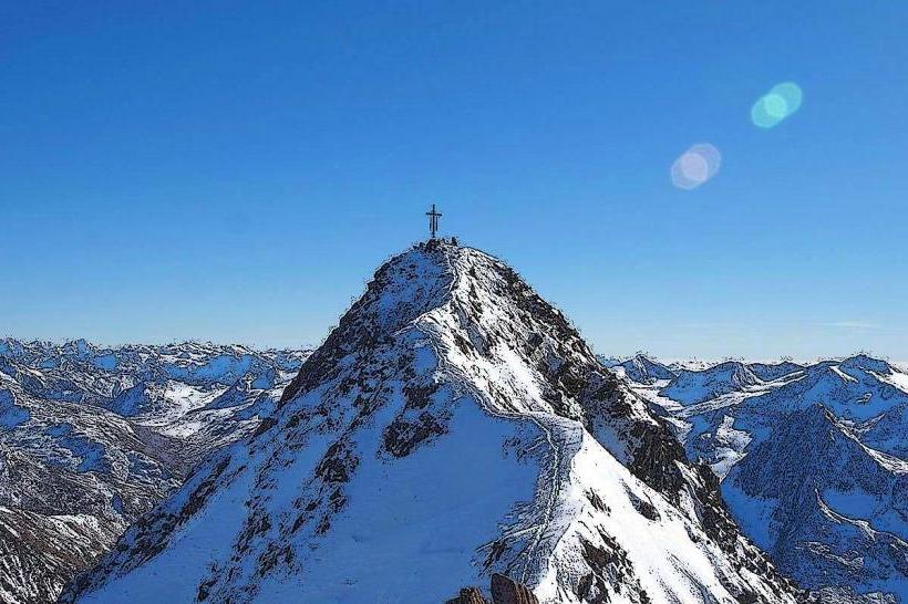
Landmark: Grossglockner Peak
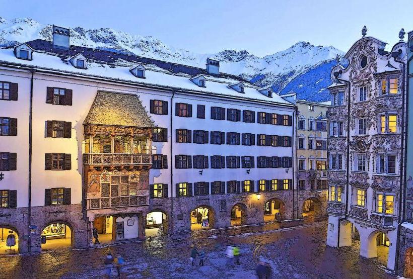
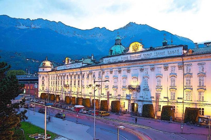
City: Innsbruck
Country: Austria
Continent: Europe
Grossglockner Peak, Innsbruck, Austria, Europe
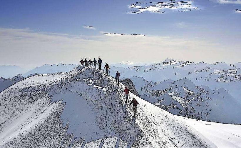
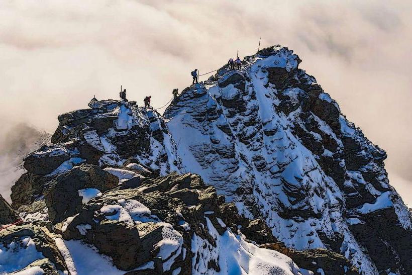
The Großglockner is Austria's highest mountain, reaching an elevation of 3,798 meters (12,461 feet). It is located on the border between the states of Tyrol (East Tyrol) and Carinthia, approximately 130 km (81 miles) southeast of Innsbruck.
Visual Characteristics
The mountain is a distinct pyramid-shaped peak composed of greenschist. It features a prominent secondary summit, the Kleinglockner ($3,770$ m), separated from the main peak by the narrow "Glocknerscharte" col. It is home to the Pasterze, the longest glacier in the Eastern Alps, though it is currently experiencing significant glacial retreat.
Location & Access Logistics
From Innsbruck:
Vehicle: Approximately 2.5 to 3 hours. Route: A12 to Wörgl, B178/B161 through Kitzbühel and the Felbertauern Tunnel (toll) to Kals am Großglockner.
Transit: Train from Innsbruck Hbf to Lienz, then Regional Bus 952 to Kals am Großglockner.
Access Points:
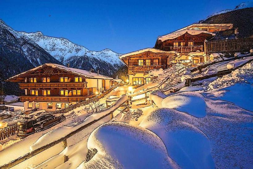
Kals (South): The most direct climbing access.
Heiligenblut (East): Known for the most iconic views.
High Alpine Road: The Großglockner Hochalpenstraße is a world-famous scenic toll road (36 hairpin bends, elevation $2,504$ m) connecting Salzburg and Carinthia.
Technical & Geological Data
The Großglockner belongs to the Glockner Group in the Hohe Tauern range. It was first successfully ascended in 1800.
Geology: Primarily prasinite (greenschist), which provides more stability for climbers than surrounding limestone.
Vertical Gain: Most standard climbs involve a vertical gain of approx. 1,900 meters from the valley floor.
Key Highlights & Activities
Normal Route: A high-alpine tour (UIAA Grade II) starting from the Lucknerhaus via the Erzherzog-Johann-Hütte (Austria's highest mountain hut at $3,454$ m).
Stüdlgrat: A classic, world-renowned ridge climb (Grade III+) on the southwest side.
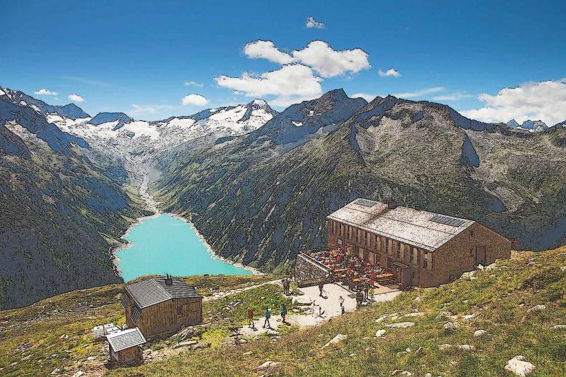
Franz-Josefs-Höhe: A visitor center at the end of the High Alpine Road ($2,369$ m) providing a direct view of the peak and the Pasterze glacier.
Hohe Tauern National Park: The mountain is the centerpiece of Austria's first and largest national park.
Infrastructure & Amenities
Equipment: A summit attempt requires full high-alpine gear: crampons, ice axe, rope, and helmet.
Guides: The "Kalser Bergführer" (Kals Mountain Guides) have a long historical association with the peak.
Connectivity: 4G/5G is generally available at the major visitor centers and the lower mountain huts; signal on the summit is present but variable.
Best Time to Visit
Sightseeing: Early June to late October (when the High Alpine Road is open).
Mountaineering: July to September for rock/ice stability.
Ski Touring: March to May.
Nearby Landmarks
Pasterze Glacier – Directly at the foot of the peak
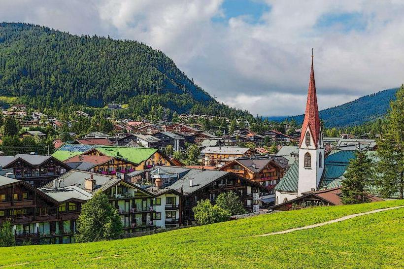
Heiligenblut Pilgrimage Church – Famous for the view of the spire against the peak
Lienz (East Tyrol) – 35 km South
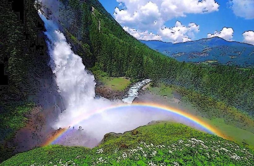
Krimml Waterfalls – 60 km Northwest