Landmark: Harriet Island Park
City: Saint Paul
Country: USA Minnesota
Continent: North America
Harriet Island Park, Saint Paul, USA Minnesota, North America
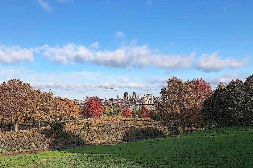
Harriet Island Park is a 48-acre public park situated on an island in the Mississippi River, located in downtown Saint Paul, Minnesota.
Visual Characteristics
The park features extensive paved walkways, manicured lawns, and mature trees providing shade. The Padelford Riverboats dock at the eastern end. The Harriet Island Pavilion is a contemporary structure with a white exterior and large glass panels. The riverbanks are lined with concrete retaining walls and some naturalized areas.
Location & Access Logistics
Harriet Island Park is accessible via the Wabasha Street Bridge from downtown Saint Paul. It is approximately 0.5km South of the city center. Vehicle access is via West Water Street, with a dedicated parking lot located adjacent to the Harriet Island Pavilion. Public transport options include Metro Transit bus routes 16, 23, 54, and 63, which stop near the Wabasha Street Bridge. The closest light rail station is Union Depot, approximately 1km East.
Historical & Ecological Origin
The island was originally known as Bloody Run Island and was a site of conflict between the Dakota and Ojibwe tribes. It was renamed after Harriet Bishop, a missionary who arrived in Saint Paul in 1847. The park was developed in the early 20th century, with significant renovations occurring in the late 20th and early 21st centuries. Ecologically, it is a riverine island within the Upper Mississippi River ecosystem.
Key Highlights & Activities
Activities include walking and cycling on paved paths, picnicking in designated areas, and attending events at the Harriet Island Pavilion. The Padelford Riverboats offer narrated tours of the Mississippi River. Fishing is permitted from the riverbanks. The park is a common starting point for the annual Twin Cities Marathon.
Infrastructure & Amenities
Restrooms are available within the Harriet Island Pavilion and at scattered locations throughout the park. Shade is provided by mature trees and the pavilion structure. Cell phone signal (4G/5G) is generally strong throughout the park. Food vendors are not permanently stationed within the park, but are present during special events. Restaurants are available in the adjacent downtown Saint Paul area.
Best Time to Visit
The park is accessible year-round. For optimal weather and outdoor activities, late spring (May-June) and early autumn (September-October) are recommended. Mid-morning and late afternoon offer the best natural light for photography due to the river's orientation. High tide is not a significant factor for park access.
Facts & Legends
A local historical oddity is the park's original name, Bloody Run Island, referencing a significant battle that took place on its shores. A specific tip for visitors is to check the schedule for the Padelford Riverboats in advance, as departure times vary seasonally.
Nearby Landmarks
- Union Depot (1km East)
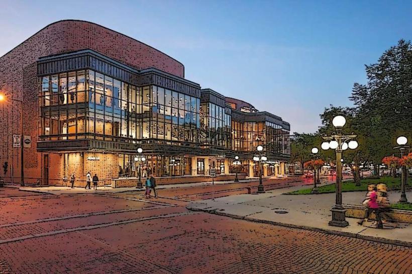
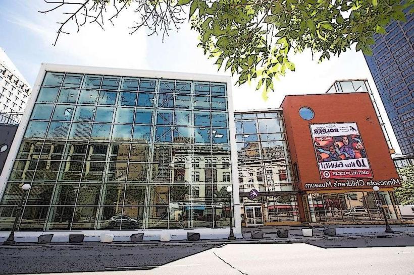
- Science Museum of Minnesota (0.7km North)
- Landmark Center (0.8km North)
- Cathedral of Saint Paul (1.2km Northwest)
- Minnesota State Capitol Building (1.5km Northwest)