Landmark: Hawks Nest Trail
City: Eagar
Country: USA Arizona
Continent: North America
Hawks Nest Trail, Eagar, USA Arizona, North America
Hawks Nest Trail is a hiking path located in Eagar, Arizona. It provides access to elevated viewpoints overlooking the surrounding landscape.
Visual Characteristics
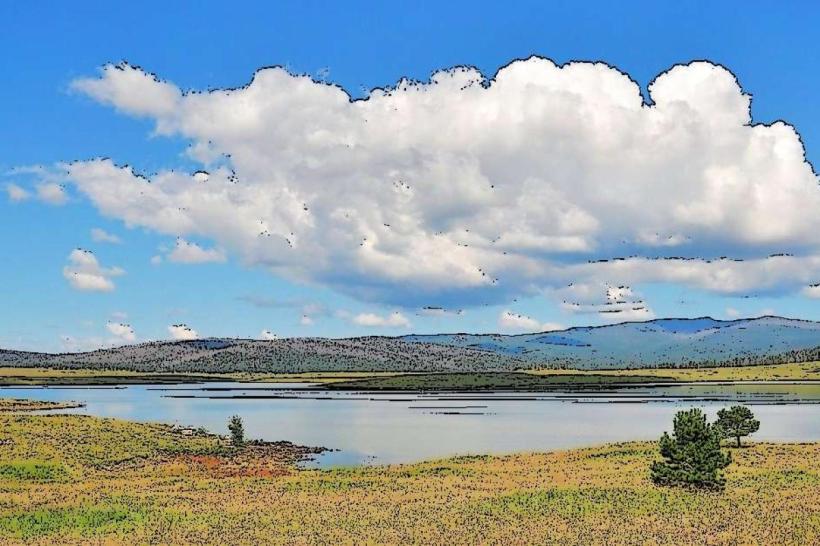
The trail itself is primarily composed of compacted earth and gravel, with sections of exposed rock. It ascends through Ponderosa pine forest, characterized by its reddish-brown bark and moderate canopy density. The path varies in width, generally between 1 to 2 meters. At higher elevations, the vegetation thins, revealing granite outcroppings and sparse desert scrub.
Location & Access Logistics
Hawks Nest Trail is situated approximately 5 kilometers east of Eagar's town center. Access is via County Road 42, also known as Springerville Road. Turn north onto Forest Road 276 (unpaved, maintained gravel). The trailhead parking area is located 1.5 kilometers from the turnoff. Parking is free and accommodates approximately 20 vehicles. No public transport services reach the trailhead.
Historical & Ecological Origin
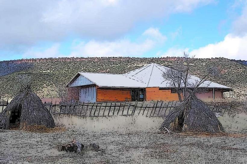
The trail follows natural game trails and was formally developed for recreational use by the U.S. Forest Service in the late 1970s. The area is part of the Apache-Sitgreaves National Forests, an ecosystem dominated by Ponderosa pine and mixed conifer forests at this elevation, supporting diverse wildlife.
Key Highlights & Activities
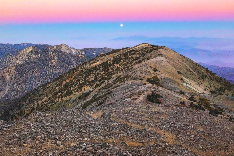
Hiking is the primary activity. The trail offers several viewpoints, including a prominent rock formation at the summit designated as "Hawks Nest." Elevation gain is approximately 200 meters over 2.5 kilometers. Birdwatching is possible, with sightings of various raptors and songbirds documented.
Infrastructure & Amenities
A single-stall composting toilet is located at the trailhead parking area. No other amenities are present. Cell phone signal is intermittent to non-existent along most of the trail, with limited 4G availability at the trailhead. No food vendors are located at or near the trailhead.
Best Time to Visit
For optimal lighting on the landscape, visit between 08:00 and 10:00 or 16:00 and 18:00. The best months for hiking are May through October, avoiding the heavier snows of winter. Summer afternoons can experience thunderstorms; early morning visits are recommended during this period.
Facts & Legends
Local folklore suggests that the "Hawks Nest" rock formation was historically used by Native American tribes for observing game and potential threats. A verified fact is that the trail is a popular route for local residents seeking moderate exercise and access to higher ground for stargazing due to minimal light pollution.
Nearby Landmarks
- Eagar Town Park 4.8km West
- Apache-Sitgreaves National Forests Visitor Center 5.0km West
- Becker Lake Wildlife Area 6.2km Southwest
- Springerville Heritage Center 5.5km West