Landmark: Hazelton Pyramid Peak
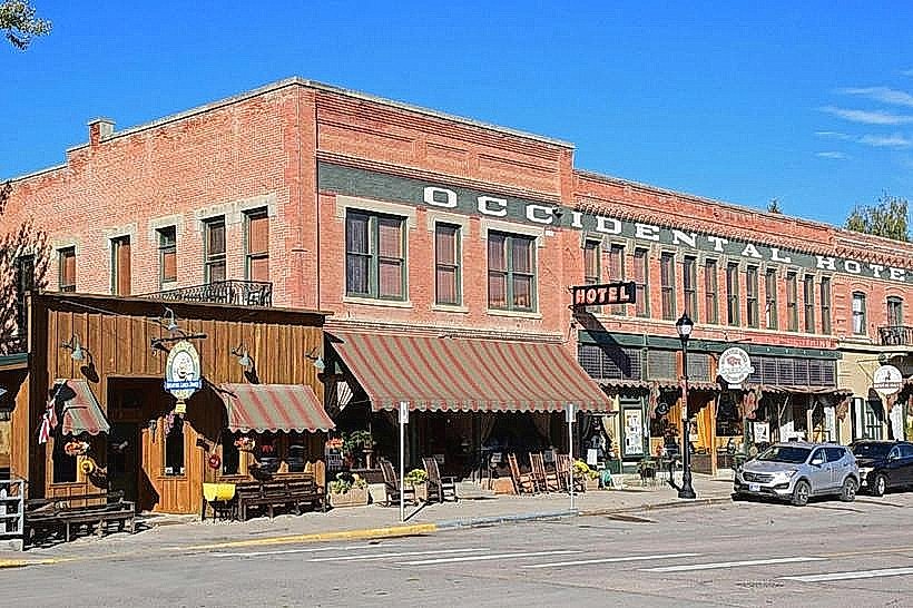
City: Buffalo
Country: USA Wyoming
Continent: North America
Hazelton Pyramid Peak, Buffalo, USA Wyoming, North America
Hazelton Pyramid Peak is a geological formation located in Buffalo, Wyoming, USA.
This prominent rock outcrop is characterized by its distinct pyramidal shape, rising sharply from the surrounding terrain.
Visual Characteristics
The peak is composed of sedimentary rock, primarily sandstone and shale, exhibiting layered strata. Its color ranges from light tan to reddish-brown, depending on the mineral content and light exposure. The summit reaches an elevation of approximately 7,200 feet (2,195 meters) above sea level. The slopes are steep and largely devoid of dense vegetation, with sparse grasses and hardy shrubs clinging to crevices.
Location & Access Logistics
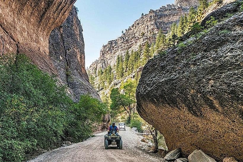
Hazelton Pyramid Peak is situated approximately 15 miles (24 kilometers) south of Buffalo, Wyoming. Access is via Wyoming Highway 195 (Clear Creek Road). Turn west onto a gravel road marked for the peak, located roughly 12 miles south of Buffalo. This gravel road is approximately 3 miles long and generally suitable for most passenger vehicles in dry conditions. Parking is available at the base of the peak in a designated dirt lot. No public transport services reach this location.
Historical & Ecological Origin
The formation is a result of differential erosion acting upon sedimentary rock layers deposited during the Mesozoic Era. The harder caprock layers have resisted erosion more effectively than the softer underlying strata, creating the distinctive pyramidal shape. The area is part of the Powder River Basin's geological context.
Key Highlights & Activities
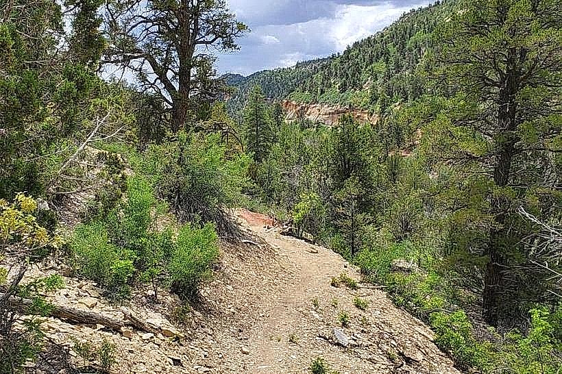
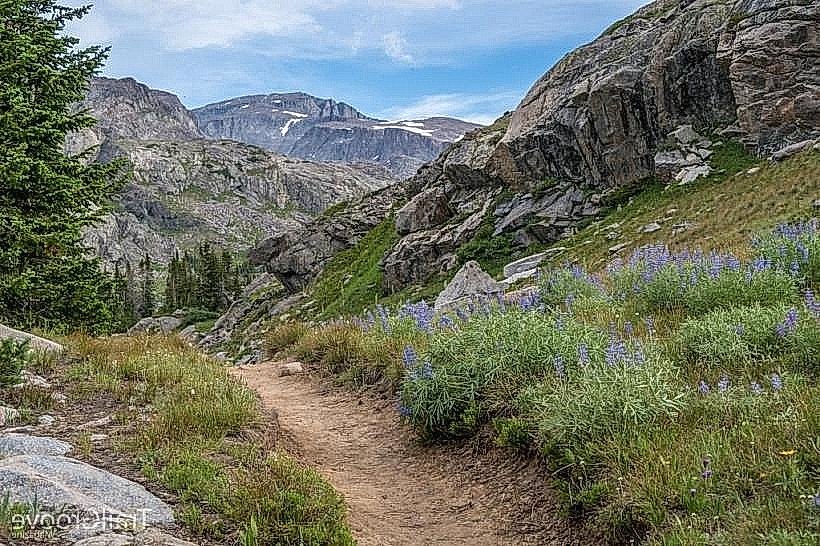
Hiking to the summit is the primary activity. A moderately challenging trail, approximately 1.5 miles one-way, ascends the western flank of the peak. The trail involves some scree sections and requires careful footing. Panoramic views of the surrounding plains and Bighorn Mountains are available from the summit. Rock climbing is possible on certain faces, but requires specialized equipment and experience.
Infrastructure & Amenities
The parking area at the base of the peak has no facilities. There are no restrooms, potable water sources, or designated picnic areas. Cell phone signal is intermittent and unreliable in the immediate vicinity of the peak. No food vendors operate at this location.
Best Time to Visit
The best time for hiking is from late spring (May) through early autumn (October), avoiding winter snow and ice. Mid-morning offers good lighting for photography of the peak's western face. Afternoon light can create harsh shadows. The area is prone to strong winds, particularly in the spring and fall.
Facts & Legends
Local folklore suggests the peak was a significant landmark for Native American tribes, used for observation and spiritual ceremonies. One account mentions a specific rock formation near the summit resembling a hawk's head, considered a sacred marker.
Nearby Landmarks
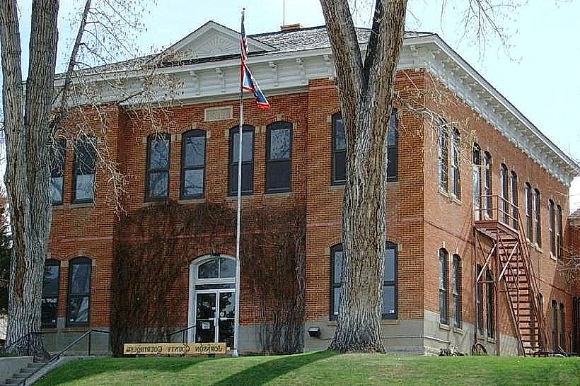
- Johnson County Courthouse (14km North)
- Bighorn National Forest - Meadowlark Ski & Snowboard Area (22km West)
- Fort Phil Kearny State Historic Site (28km Northwest)
- Fetterman Battlefield State Historic Site (30km Northwest)