Information
Landmark: Kofa National Wildlife RefugeCity: Yuma
Country: USA Arizona
Continent: North America
Kofa National Wildlife Refuge, Yuma, USA Arizona, North America
Kofa National Wildlife Refuge is a protected area located in southwestern Arizona, USA, west of the city of Yuma.
Visual Characteristics
The refuge encompasses approximately 660,000 acres of arid desert landscape. Dominant geological features include rugged mountain ranges, such as the Castle Dome Mountains and the Kofa Mountains, characterized by exposed granite and volcanic rock formations. Vegetation is sparse, consisting primarily of desert scrub, creosote bush, palo verde, and saguaro cactus. Elevation varies significantly, with peaks reaching over 4,000 feet.
Location & Access Logistics
The refuge is situated approximately 60 miles northwest of Yuma, Arizona. Access is primarily via unpaved, unimproved roads. State Route 195 (Kofa Road) provides a main access route from the south, connecting to various dirt tracks leading into the refuge. Vehicle suitability is critical; high-clearance 4WD vehicles are recommended for most interior routes. No public transportation services the refuge. Parking is generally available at trailheads and designated pull-offs, but is informal and unpaved.
Historical & Ecological Origin
Kofa National Wildlife Refuge was established in 1939 as the Kofa Game Range to protect desert bighorn sheep. The name "Kofa" is derived from the King of Arizona mine, a significant gold mine in the area during the late 19th and early 20th centuries. Ecologically, the refuge protects a significant portion of the Sonoran Desert, a hot desert ecosystem characterized by extreme temperatures and low precipitation.
Key Highlights & Activities
Activities include wildlife observation, particularly for desert bighorn sheep, mule deer, and various bird species. Hiking is permitted on designated trails and cross-country. Photography opportunities exist for desert landscapes and flora. The historic King of Arizona mine site is accessible for viewing. Limited primitive camping is allowed in designated areas.
Infrastructure & Amenities
Infrastructure within the refuge is minimal. No developed campgrounds, restrooms, or visitor centers are present. Cell phone signal is generally absent throughout the refuge. No food vendors or services are available within the refuge boundaries. Visitors should carry all necessary supplies, including water, food, and fuel.
Best Time to Visit
The optimal time for visiting is during the cooler months, from October through April. Daytime temperatures can exceed 100°F (38°C) during summer. Early morning and late afternoon offer the best light for photography and increased wildlife activity. No tide considerations apply.
Facts & Legends
The refuge is home to the rare fan-tailed cactus wren. A specific tip for visitors is to carry a detailed paper map and compass, as GPS reliability can be inconsistent due to terrain and lack of signal.
Nearby Landmarks
- Castle Dome Mines Museum (15km Southeast)
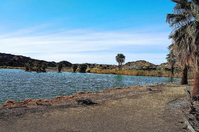
- Mittry Lake Wildlife Area (40km Southwest)
- Imperial Sand Dunes Recreation Area (70km West)
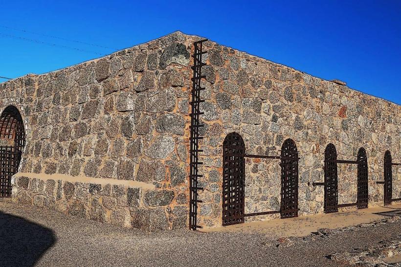
- Yuma Territorial Prison State Historic Park (80km Southwest)