Landmark: Lake Dayet Srij
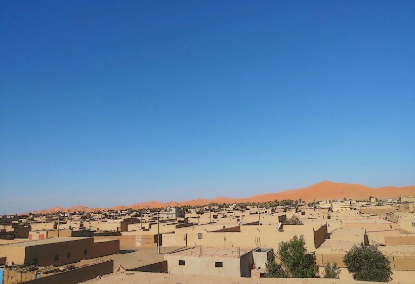
City: Merzouga
Country: Morocco
Continent: Africa
Lake Dayet Srij, Merzouga, Morocco, Africa
Dayet Srij is a seasonal lake located near the village of Merzouga in Morocco. It is a natural depression that fills with water at certain times of the year.
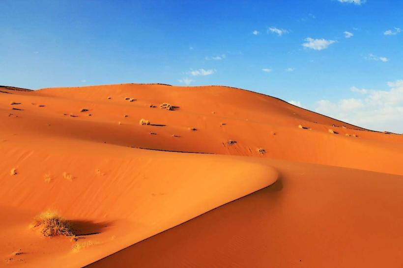
Visual Characteristics
The lake's appearance varies significantly with water levels. When full, it is a body of water reflecting the surrounding desert landscape. The water color can range from a muddy brown to a clearer blue depending on sediment and depth. The surrounding terrain consists of sand dunes and sparse desert vegetation.
Location & Access Logistics
Dayet Srij is situated approximately 5 kilometers southwest of Merzouga. Access is via unpaved desert tracks from Merzouga. A 4x4 vehicle is recommended for reaching the lake, especially during dry periods. Parking is available on the dry lakebed when water levels are low.
Historical & Ecological Origin
Dayet Srij is a natural depression formed by geological processes in the desert environment. It functions as a temporary water source, collecting rainfall and occasional floodwaters. The lakebed is composed of fine desert sand and silt.
Key Highlights & Activities
Birdwatching is a primary activity, as the lake attracts various migratory and resident bird species. Observing the changing water levels and the surrounding dune formations is also possible. Photography opportunities exist, particularly during sunrise and sunset.
Infrastructure & Amenities
There are no permanent infrastructure or amenities at Dayet Srij. Visitors should bring their own water and supplies. Cell phone signal is intermittent and unreliable in this remote desert location.
Best Time to Visit
The lake is most reliably filled with water during the autumn and winter months (October to March) following seasonal rains. The best time of day for photography is during the golden hours of sunrise and sunset for optimal lighting on the dunes and water. Visiting during periods of high water levels may restrict vehicle access to the immediate vicinity.
Facts & Legends
Local folklore suggests that the lake's existence is tied to ancient underground water sources, though its seasonal nature points to surface water accumulation. A specific tip for visitors is to check recent rainfall reports before planning a visit, as the lake's presence is entirely dependent on precipitation.
Nearby Landmarks
- Erg Chebbi Dunes (1km Northeast)
- Merzouga village (5km Northeast)
- Ksar of Rissani (25km Southwest)
- Todra Gorge (120km West)