Landmark: Lake Prespa
City: Bitola
Country: North Macedonia
Continent: Europe
Lake Prespa, Bitola, North Macedonia, Europe
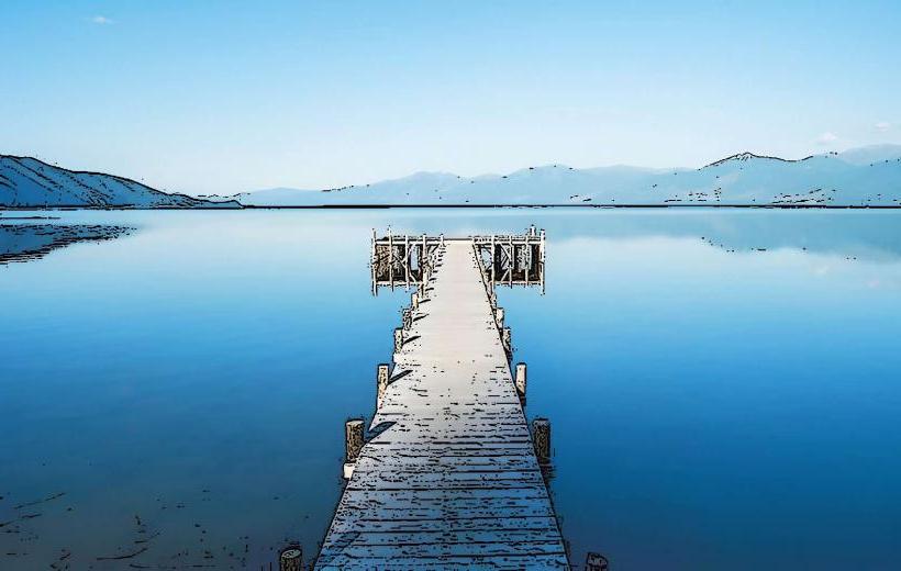
Visual Characteristics
The lake's water is generally clear with a blue-green hue, varying in intensity with depth and light conditions. The shoreline consists of a mix of sandy stretches, pebble beaches, and rocky outcrops. Extensive reed beds line the shallower areas, transitioning to surrounding forests primarily composed of beech and oak, interspersed with agricultural land. The lake features two significant islands: Golem Grad (North Macedonia) and Mali Grad (Albania). Golem Grad is characterized by its rocky terrain, sparse vegetation, and ancient ruins.
Location & Access Logistics
Lake Prespa is located approximately 50 km west of Bitola. Access is primarily via regional roads, notably the R1307 from Resen, which connects to the A3 highway originating from Bitola. Parking is available in various lakeside villages such as Oteševo, Stenje, and Konjsko, typically in unpaved or small designated lots. Public transport options are limited; intercity buses from Bitola or Resen serve some villages, but a private vehicle is recommended for comprehensive access and flexibility.
Historical & Ecological Origin
Lake Prespa is a tectonic lake, formed within a graben (rift valley) and is recognized as one of Europe's oldest lakes. Ecologically, it is classified as a high-altitude karstic lake, forming part of the Prespa Lakes Basin, which holds designations as a Ramsar site and a UNESCO Biosphere Reserve. The lake maintains a hydrological connection with Lake Ohrid through underground karstic channels.
Key Highlights & Activities
Birdwatching is a primary activity, as the lake is a critical habitat for species like the Dalmatian pelican and pygmy cormorant. Boating excursions to Golem Grad Island (Snake Island) depart from Stenje or Konjsko, providing access to Byzantine church ruins and a hermitage. Hiking trails are present in the adjacent Galichica National Park, offering elevated views of the lake. Swimming is possible at designated beaches in villages such as Oteševo and Stenje. Fishing is permitted with a valid license.
Infrastructure & Amenities
Restrooms are available in larger villages and at some guesthouses or restaurants, but are not consistently present along the entire shoreline. Natural shade from trees is found in certain areas, particularly near settlements and designated picnic spots, while open beaches may lack cover. Cell phone signal typically provides 4G/5G coverage in populated areas and along main roads, though it can be intermittent in remote sections or on Golem Grad Island. Small restaurants and cafes operate in lakeside villages including Oteševo, Stenje, and Konjsko, with limited food options outside these settlements.
Best Time to Visit
The period from May to September offers warm temperatures suitable for swimming and outdoor activities. For photography, early morning or late afternoon light provides optimal conditions for reflections and soft illumination. Birdwatching is best during spring (April-May) for breeding species and autumn (September-October) for migratory birds.
Facts & Legends
Golem Grad Island, also known as Snake Island, is notable for its significant population of water snakes (Natrix tessellata and Natrix natrix) and is the sole known habitat for the Prespa water frog (Pelophylax prespaensis). The island also preserves the ruins of a 14th-century church dedicated to St. Peter.
Nearby Landmarks
- Galichica National Park: Immediately adjacent to the eastern shore, offering mountain trails and panoramic views. (0km East)
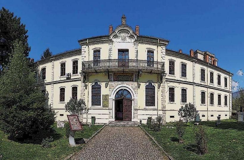
- Resen: A town 25 km east, known for the Saraj, a former Ottoman-era residence. (25km East)
- Lake Ohrid: Approximately 30 km west over Galichica mountain, a UNESCO World Heritage site. (30km West)
- Bitola: The city itself, featuring the ancient ruins of Heraclea Lyncestis and the Shirok Sokak pedestrian street. (50km East)