Landmark: Lake Sakakawea & Garrison Dam
City: Williston
Country: USA North Dakota
Continent: North America
Lake Sakakawea & Garrison Dam, Williston, USA North Dakota, North America
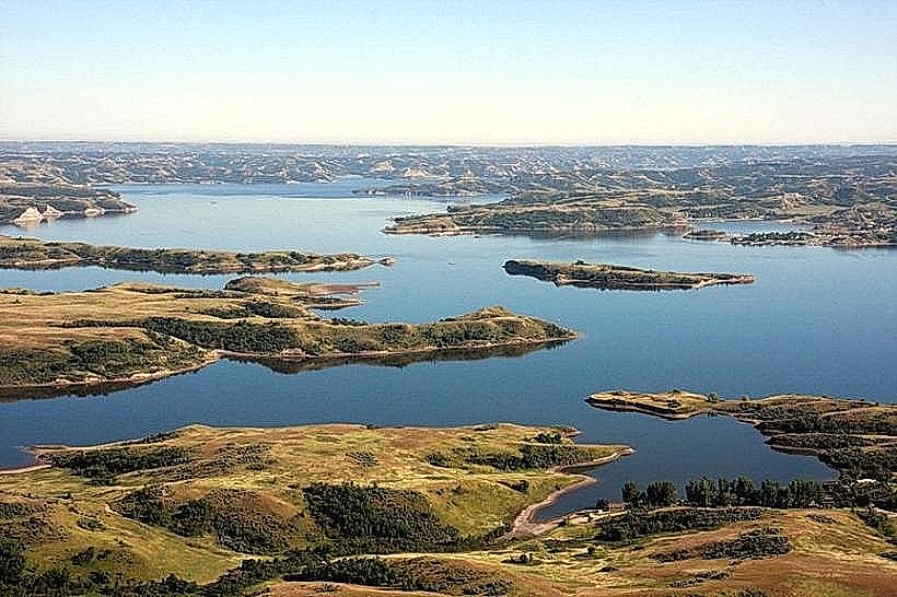
Lake Sakakawea is a large reservoir located in central North Dakota, formed by the Garrison Dam on the Missouri River.
The Garrison Dam is a significant civil engineering project situated near Riverdale, North Dakota.
Visual Characteristics
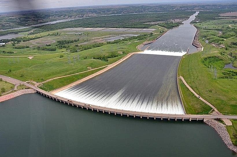
Lake Sakakawea is a man-made lake with an irregular shoreline, extending approximately 178 miles (286 km) in length. Its water color varies from deep blue to greenish-gray depending on sediment load and depth. The surrounding terrain consists of rolling prairies, badlands formations, and sparsely wooded areas.
Garrison Dam is an earth-fill embankment dam constructed primarily from compacted earth and rock. It measures approximately 12,000 feet (3,658 m) in length and stands 231 feet (70 m) high. The dam's surface is a mix of vegetation and exposed earth.
Location & Access Logistics
Lake Sakakawea is accessible via multiple points. State Highway 83 runs along its eastern side, connecting to U.S. Highway 2. U.S. Highway 85 runs along its western side, connecting to U.S. Highway 2. Numerous county roads provide access to various recreational areas and boat ramps. Parking is available at designated state parks and recreation areas, with fees often applicable. Public transport is not available to reach the lake or dam.
Garrison Dam is located approximately 10 miles (16 km) west of Riverdale, North Dakota. Access is via North Dakota Highway 1804. Parking is available at the visitor center and designated overlooks. Public transport is not available.
Historical & Ecological Origin
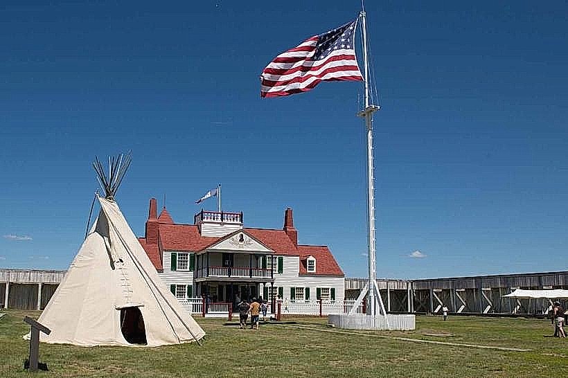
Lake Sakakawea was created by the construction of the Garrison Dam, authorized by the Flood Control Act of 1944 and completed in 1953. The dam was built by the U.S. Army Corps of Engineers for flood control, hydroelectric power generation, and water supply. The reservoir inundates land that was historically part of the Fort Berthold Indian Reservation.
Garrison Dam is an earth-fill embankment dam, a type of dam constructed using compacted earth and rock. Its primary purpose is flood control, hydroelectric power generation, and providing water for irrigation and municipal use.
Key Highlights & Activities
Activities at Lake Sakakawea include boating, fishing for species such as walleye, northern pike, and salmon, swimming, camping, and hiking in surrounding state parks. Birdwatching is also a popular activity due to the diverse avian population.
At Garrison Dam, visitors can tour the visitor center, view the dam structure, and observe the operation of the hydroelectric power plant. Observation decks offer views of the Missouri River downstream and the lake upstream.
Infrastructure & Amenities
Lake Sakakawea has numerous state parks and recreation areas with amenities including campgrounds, picnic areas, boat ramps, and restrooms. Cell phone signal is generally available in populated areas and parks, but can be intermittent in remote sections of the lake. Food vendors are typically found near major access points and within state parks.
Garrison Dam has a visitor center with restrooms and information displays. Limited shade is available at overlooks. Cell phone signal (4G/5G) is generally available at the dam site. Food vendors are not directly at the dam but are available in nearby Riverdale.
Best Time to Visit
The best time to visit Lake Sakakawea for recreational activities is from May through September, when water temperatures are suitable for swimming and boating. For fishing, spring (April-May) and fall (September-October) are often productive. Sunrise and sunset offer optimal lighting for photography of the lake and surrounding landscape.
Garrison Dam can be visited year-round. The visitor center operates seasonally, typically from May to September. Spring and fall offer pleasant weather for dam viewing. Summer months can be hot. There are no tide requirements.
Facts & Legends
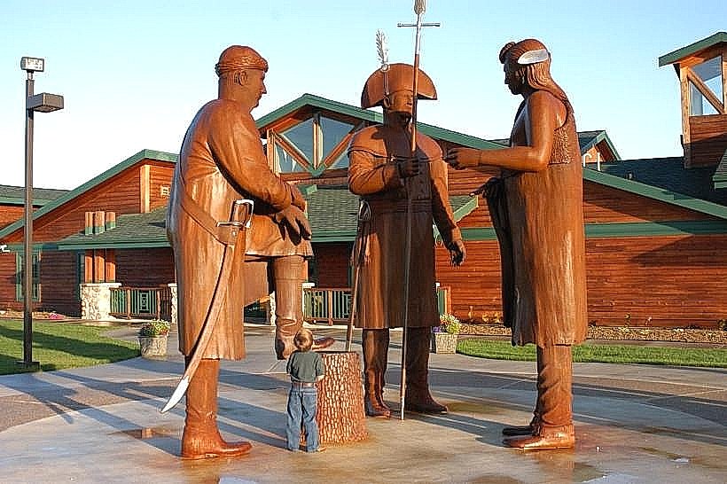
Lake Sakakawea is the third largest man-made lake in the United States by surface area. The lake is named after Sacagawea, the Shoshone woman who assisted the Lewis and Clark Expedition.
A unique aspect of Garrison Dam's construction involved the use of a massive fleet of specialized earth-moving equipment, including some of the largest scrapers ever built at the time.
Nearby Landmarks
- Fort Stevenson State Park (15km Northwest)
- Knife River Indian Villages National Historic Site (60km Southeast)
- Lewis and Clark State Park (70km Southwest)
- Theodore Roosevelt National Park - South Unit (120km West)