Information
Landmark: Lansing River TrailCity: Lansing
Country: USA Michigan
Continent: North America
Lansing River Trail, Lansing, USA Michigan, North America
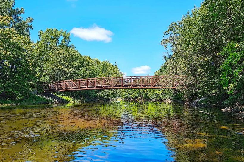
The Lansing River Trail is a multi-use recreational path situated in Lansing, Michigan, USA. It follows the Grand River and Red Cedar River through urban and natural landscapes.
Visual Characteristics
The trail surface varies, consisting primarily of paved asphalt and some crushed limestone sections. It traverses wooded areas, open parkland, and passes by urban infrastructure. The width of the trail ranges from 8 to 12 feet. Riverbanks are characterized by a mix of natural vegetation, including trees and grasses, and engineered retaining walls in developed areas.
Location & Access Logistics
The Lansing River Trail extends approximately 14 miles, with multiple access points. A primary access point is located at 200 N. Cedar Street, Lansing, MI 48912, approximately 1 mile west of the Michigan State Capitol building. Parking is available at designated trailheads, including Hawk Island Park (1600 Hawk Island Dr, Lansing, MI 48917) and Frances Park (2700 S. Washington Ave, Lansing, MI 48910). Public transport options are limited directly to trailheads, but several bus routes (e.g., CATA Route 1) run along major roads adjacent to the trail, requiring a short walk to access.
Historical & Ecological Origin
The trail's development began in the late 1970s, with significant expansion and paving occurring in the 1990s and early 2000s. Its purpose is to provide recreational access and connect various city parks and natural areas along the river corridors. Ecologically, the trail follows the confluence of the Grand River and Red Cedar River, supporting riparian habitats.
Key Highlights & Activities
Activities include walking, running, cycling, and in-line skating. Fishing is permitted in designated areas along the river. Birdwatching is common due to the riparian environment. Several bridges offer distinct vantage points of the rivers and surrounding scenery. Kayaking and canoeing are possible on the rivers, with put-in points at various parks.
Infrastructure & Amenities
Restrooms are available at major park access points and some intermediate locations. Shade is provided by mature trees along significant portions of the trail. Cell phone signal (4G/5G) is generally consistent throughout the trail. Food vendors are not directly on the trail but are available in nearby commercial areas accessible from trail access points.
Best Time to Visit
For photography, early morning or late afternoon light offers optimal conditions. The best months for comfortable outdoor activity are April through October. High tide is not a relevant factor for trail access. Winter months can bring snow and ice, impacting trail conditions for cycling and skating.
Facts & Legends
A notable historical feature is the remnants of old mill races and bridges that hint at the area's industrial past. A local anecdote suggests that during periods of heavy rain, the Red Cedar River can appear a distinct reddish-brown due to sediment runoff, a phenomenon that has contributed to its name.
Nearby Landmarks
- Michigan State Capitol (1.5km East)
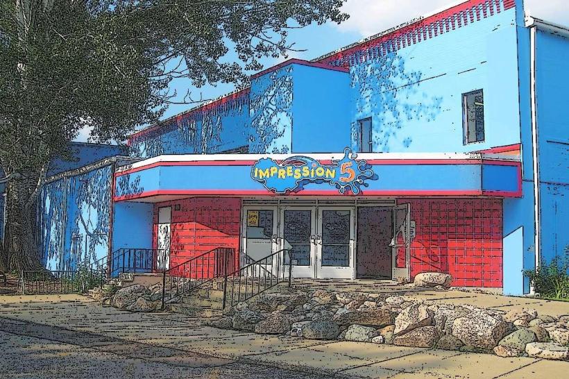
- Impression 5 Science Center (1.2km Northeast)
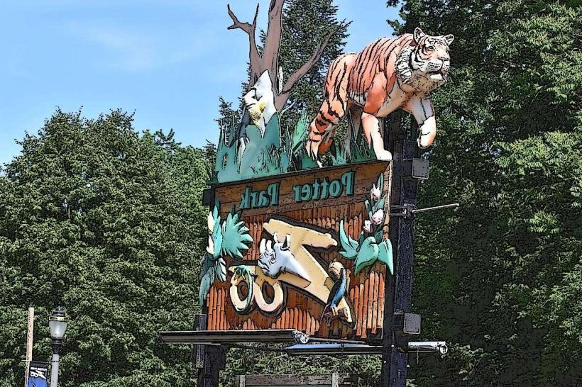
- Potter Park Zoo (2.0km Southeast)
- Michigan History Center (1.8km East)
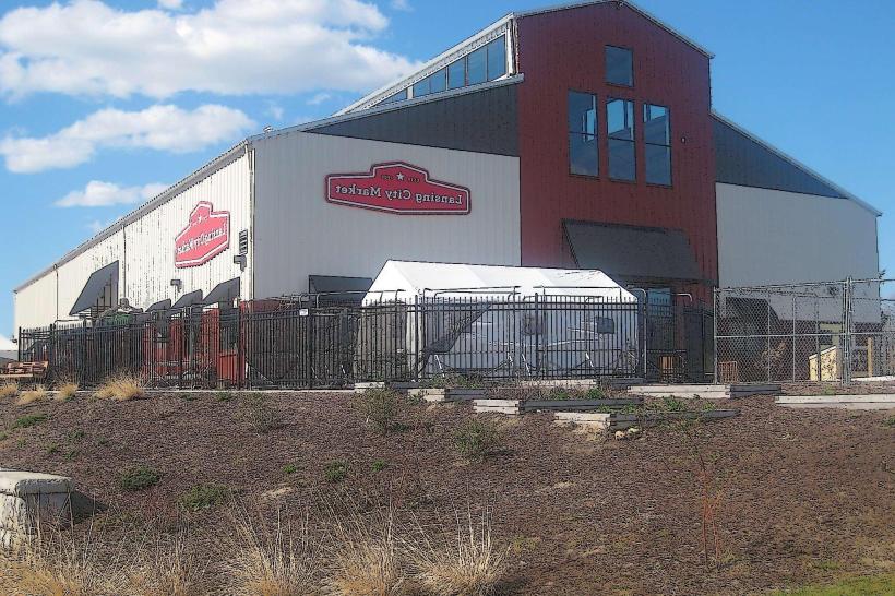
- Old Town Lansing (1.0km North)