Landmark: Leidsevaart
City: Haarlem
Country: Netherlands
Continent: Europe
Leidsevaart, Haarlem, Netherlands, Europe
Leidsevaart is a 10-kilometer-long historical canal connecting Haarlem to Leiden. It was one of the earliest and most important "trekvaart" (tow-canal) routes in the Netherlands, designed specifically for passenger transport by horse-drawn boat.
Visual Characteristics
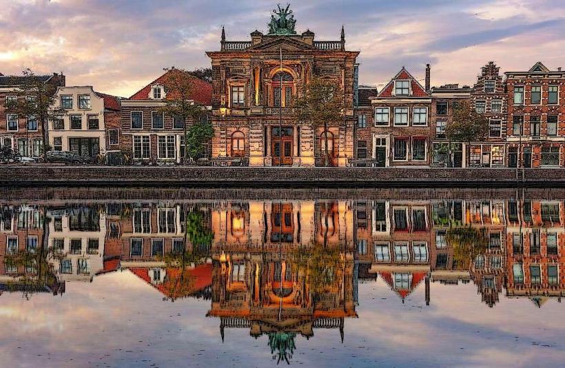
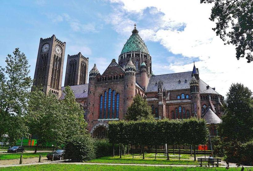
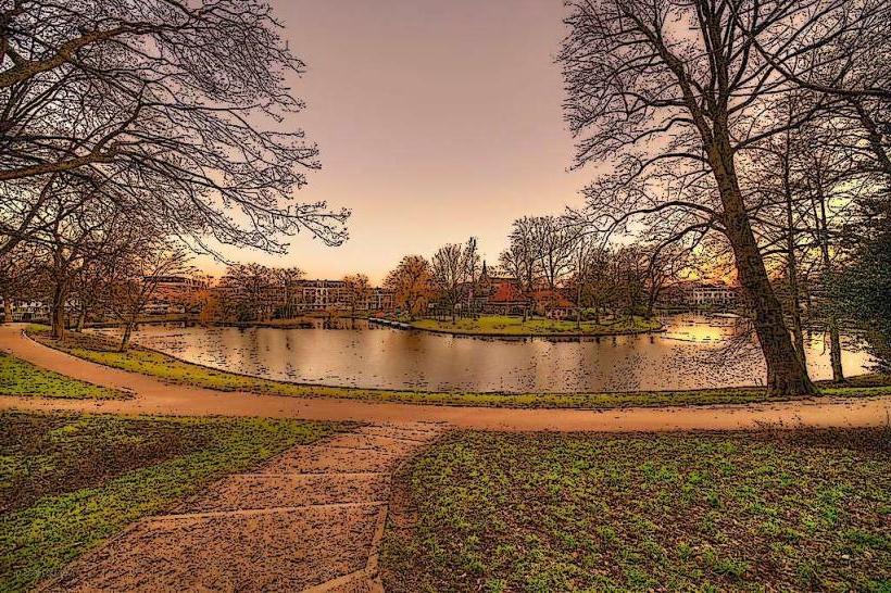
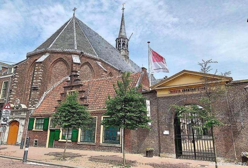
The canal is a straight, narrow waterway defined by parallel tree-lined embankments. In the Haarlem section, it is flanked by a mix of early 20th-century residential townhouses and the massive Neo-Gothic silhouette of the Cathedral Basilica of St. Bavo. The water is generally dark and slow-moving, often covered in duckweed during summer months.
Location & Access Logistics
Route: Starts at the Raaks/Zijlsingel in central Haarlem and runs south toward Leiden.
Cycling/Walking: A dedicated path (Leidsevaartpad) runs parallel to the water, serving as a primary commuter route for cyclists between Haarlem, Heemstede, and Bennebroek.
Rail: The railway line between Haarlem and Leiden runs almost perfectly parallel to the canal for its entire length.
Historical & Ecological Origin
Excavated in 1657, the Leidsevaart was a massive infrastructure project of the Dutch Golden Age. It allowed for "trekschuiten" (tow-boats) to operate on a fixed schedule regardless of wind, a revolutionary concept in 17th-century transit. Ecologically, it serves as a drainage artery for the sandy "geestgronden" (edge of the dunes) and acts as a corridor for aquatic birds and fish moving between the urban center and the countryside.
Key Highlights & Activities
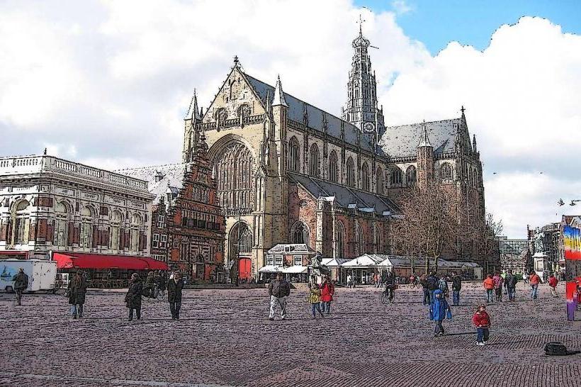
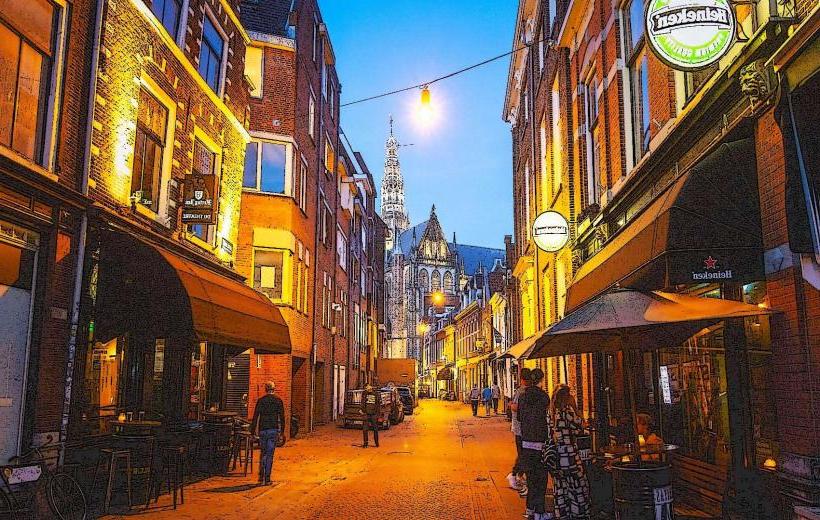
Cathedral Basilica of St. Bavo: The most iconic landmark on the canal; its copper domes dominate the view from the water.
Cycling: The flat, straight path is a popular route for long-distance cyclists and runners.
Historical Landmarks: Several old "tolhuizen" (toll houses) and bridges remain along the route, marking former administrative boundaries.
Infrastructure & Amenities
The Haarlem stretch features several small bridges (both fixed and movable). While the canal is not used for commercial shipping today, it is used by small private recreational boats. The embankments provide occasional benches and green spaces. 5G signals are consistent along the urban sections.
Best Time to Visit
Late afternoon is optimal for seeing the sun set over the dunes to the west, casting long shadows across the water. It is a highly functional space, best experienced by bicycle to appreciate the transition from urban Haarlem to the bulb-growing fields of the south.
Facts & Legends
A verified historical fact is that during its peak in the late 17th century, nearly 150,000 passengers used the Leidsevaart annually. It remained the primary transport link between the two cities until the first railway in the Netherlands rendered it obsolete in the mid-19th century.
Nearby Landmarks
Cathedral Basilica of St. Bavo (Adjacent)
Westergracht Shopping Center (Adjacent)
Zuid-Kennemerland National Park (2km West)
Haarlem City Center (1km East)
Elswout Estate (2.5km Southwest)