Landmark: Lester Park
City: Duluth
Country: USA Minnesota
Continent: North America
Lester Park, Duluth, USA Minnesota, North America
Lester Park is a public park situated in Duluth, Minnesota, USA.
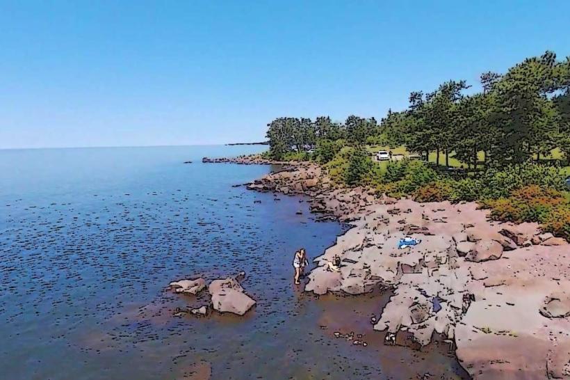
This park encompasses 118 acres of varied terrain along the Lake Superior shoreline.
Visual Characteristics
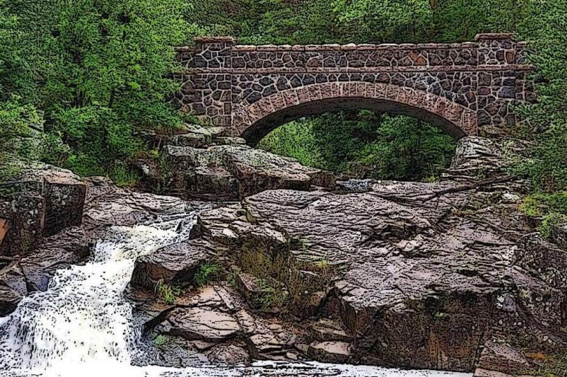
The park features a 1.5-mile stretch of rocky shoreline with exposed Precambrian bedrock formations. Inland, the terrain transitions to deciduous forest, primarily oak and maple, with dense undergrowth in some areas. The Lester River flows through the park, creating small waterfalls and rapids before emptying into Lake Superior. The average elevation within the park is approximately 650 feet above sea level.
Location & Access Logistics
Lester Park is located at the eastern edge of Duluth, approximately 5 miles east of the city center. Access is via London Road (State Highway 61). Turn north onto Lester Park Road. Parking is available in two designated lots: one at the main entrance off Lester Park Road and a smaller lot near the eastern boundary. Public transport options include the Duluth Transit Authority (DTA) Bus Route 17, which stops at the intersection of London Road and Lester Park Road.
Historical & Ecological Origin
The land that comprises Lester Park was originally part of the ancestral lands of the Ojibwe people. The park was established in the early 20th century, with significant development occurring in the 1930s under the Works Progress Administration (WPA). The geological formations are primarily part of the ancient Canadian Shield, dating back over a billion years. Ecologically, it represents a transition zone between boreal forest and temperate deciduous forest.
Key Highlights & Activities
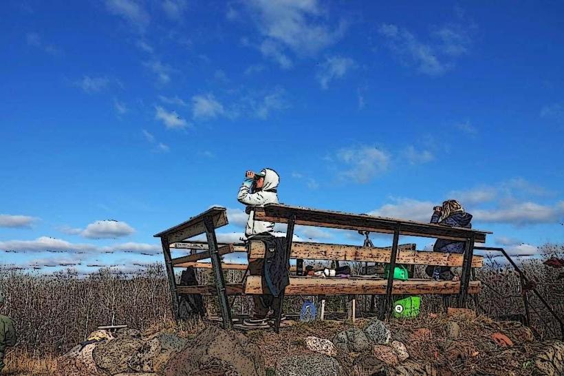
Hiking is permitted on marked trails, including the Lester River Trail which follows the river upstream. Birdwatching is a common activity, particularly during migration seasons. Picnicking is available at designated sites with tables and grills. Access to Lake Superior for shoreline exploration is possible, though swimming is not advised due to cold water temperatures and strong currents. Fishing is permitted in the Lester River.
Infrastructure & Amenities
Restrooms are available at the main parking area. Several picnic shelters provide shade. Cell phone signal (4G/5G) is generally available throughout the park. No food vendors are located within the park; however, commercial establishments are present along London Road approximately 0.5 miles west.
Best Time to Visit
For photography, early morning light offers optimal illumination of the bedrock formations. The months of May through October provide the most favorable weather conditions for outdoor activities. The Lester River's water levels are highest in spring and early summer, enhancing waterfall visibility.
Facts & Legends
A local anecdote suggests that the smooth, worn stones along the Lester River were used by early settlers for grinding wild rice. Geologically, the park showcases some of the oldest exposed rock formations in Minnesota.
Nearby Landmarks
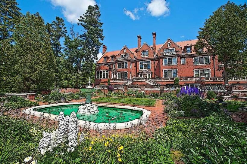
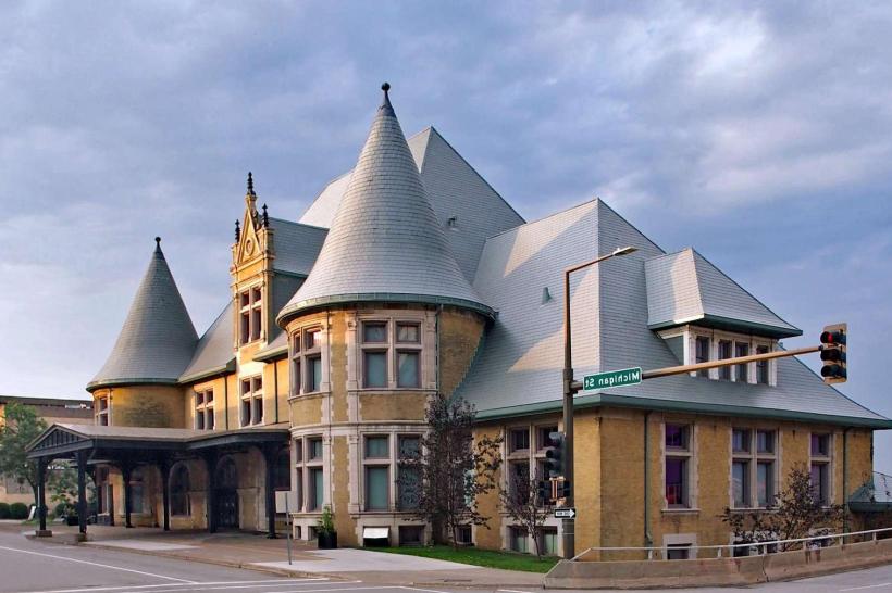
- Glensheen Historic Estate (1.5km West)
- Brighton Beach (1km East)
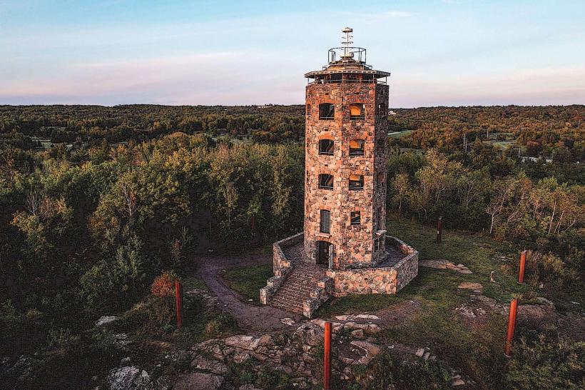
- Enger Park and Tower (6km West)
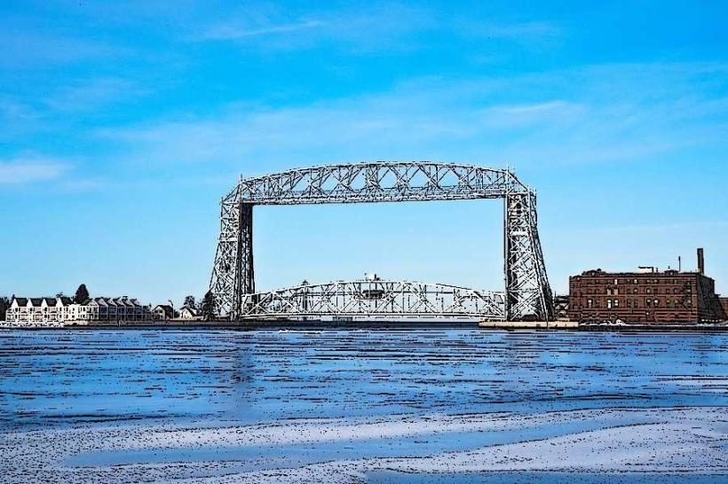
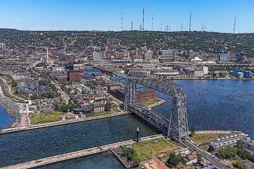
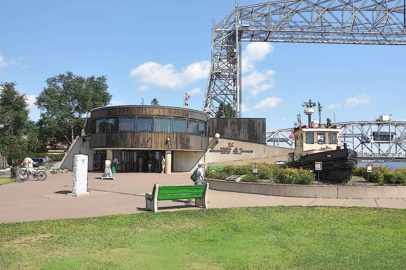
- Canal Park (7km West)