Information
Landmark: Meramec State ParkCity: St Louis
Country: USA Missouri
Continent: North America
Meramec State Park, St Louis, USA Missouri, North America
Meramec State Park is a protected area located in Franklin County, Missouri, approximately 80 kilometers southwest of St. Louis.
Visual Characteristics
The park encompasses approximately 10,400 acres of Ozark Highland terrain. Dominant features include forested hillsides with deciduous trees, the Meramec River with its gravel bars and clear water, and numerous limestone caves. Rock formations are primarily karst topography, characterized by sinkholes and exposed limestone cliffs.
Location & Access Logistics
Access to Meramec State Park is via Interstate 44. Take Exit 225 for Missouri Route 185 South. The park entrance is located approximately 3 kilometers south of the interstate. St. Louis Lambert International Airport (STL) is the nearest major airport, situated about 80 kilometers northeast. Ample parking is available at the park's visitor center, campgrounds, and various trailheads. Public transportation options directly to the park are limited; bus services typically terminate in nearby towns, requiring onward travel by taxi or private vehicle.
Historical & Ecological Origin
Meramec State Park was established in 1934, with land acquisition and development primarily undertaken by the Civilian Conservation Corps (CCC) during the Great Depression. The park's purpose was to preserve the natural beauty of the Ozarks and provide recreational opportunities. Ecologically, the area is part of the Ozark Plateau, a region shaped by ancient geological uplift and subsequent erosion, leading to the formation of its characteristic caves and river systems.
Key Highlights & Activities
Activities include hiking on 13 marked trails totaling over 30 kilometers, ranging from easy strolls to moderate climbs. Cave tours are offered at Fisher Cave and Onondaga Cave (located within the park). Boating, canoeing, and fishing are permitted on the Meramec River. The park also features a nature center with exhibits on local flora and fauna. Camping facilities are available, including primitive and electric campsites.
Infrastructure & Amenities
Restrooms are located at the visitor center, campgrounds, and picnic areas. Sheltered picnic tables are available throughout the park. Cell phone signal (4G/5G) is intermittent within the park, particularly in low-lying areas and deep within the forest. Food vendors are not present within the park boundaries, but a small convenience store is located near the park entrance. The visitor center offers limited supplies.
Best Time to Visit
For hiking and general exploration, spring (April-May) and autumn (September-October) offer mild temperatures and fall foliage. Summer (June-August) can be hot and humid, with peak insect activity. Cave tours are available year-round, though access may be limited during severe winter weather. The Meramec River is suitable for boating and fishing from late spring through early autumn. Photography is best in the early morning or late afternoon for softer light on the landscape.
Facts & Legends
Onondaga Cave, one of the park's main attractions, is known for its extensive formations, including stalactites and stalagmites. Local folklore suggests that the cave was once used as a hideout by outlaws. A specific tip for visitors is to check the park's official website for current cave tour schedules and availability, as these can change seasonally and due to weather conditions.
Nearby Landmarks
- Washington State Park (15km Southeast)
- Castlewood State Park (60km Northeast)
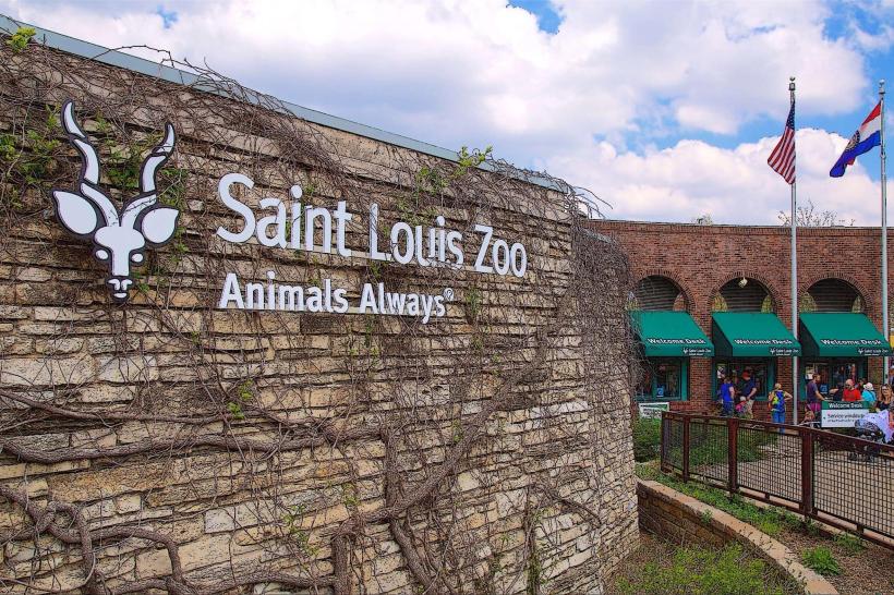
- St. Louis Zoo (80km Northeast)
- Missouri Botanical Garden (75km Northeast)
- Six Flags St. Louis (50km Northeast)