Information
Landmark: Mount Karkar VolcanoCity: Provice Area
Country: Papua New Guinea
Continent: Australia
Mount Karkar Volcano, Provice Area, Papua New Guinea, Australia
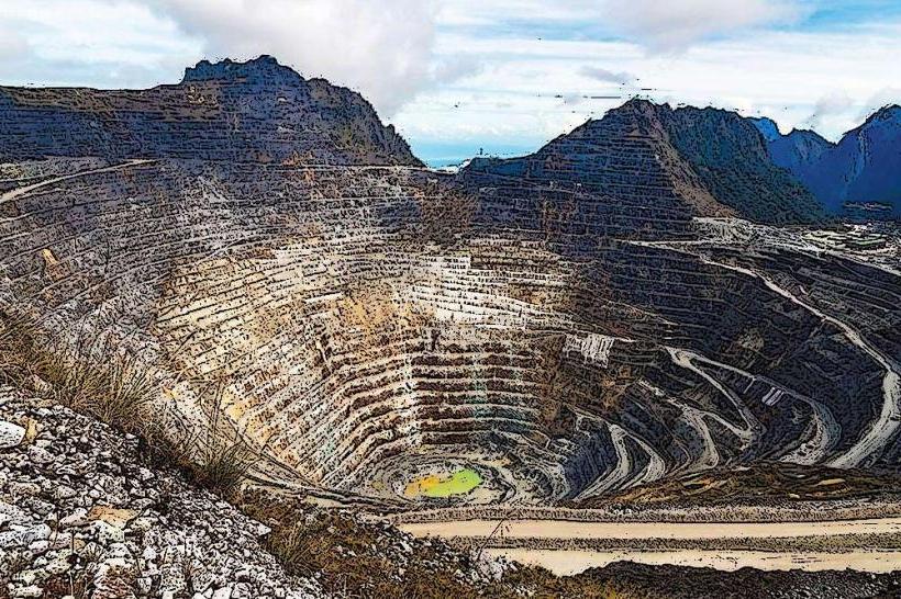
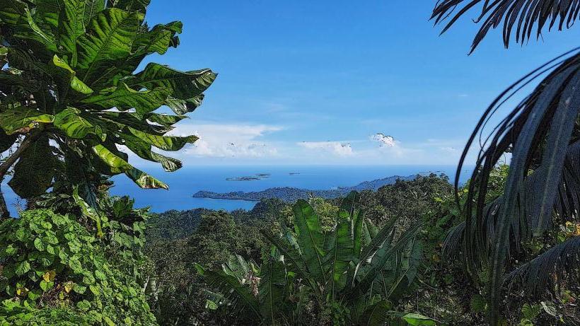
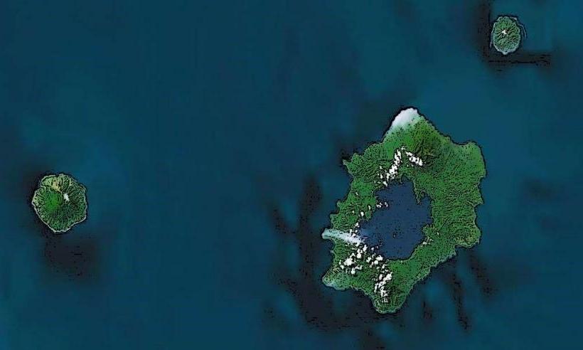
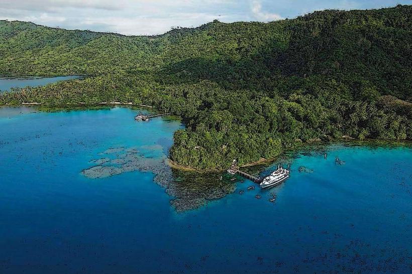
Mount Karkar is a stratovolcano located on Karkar Island in the Madang Province of Papua New Guinea. It is an active volcano with a history of eruptions.
Visual Characteristics
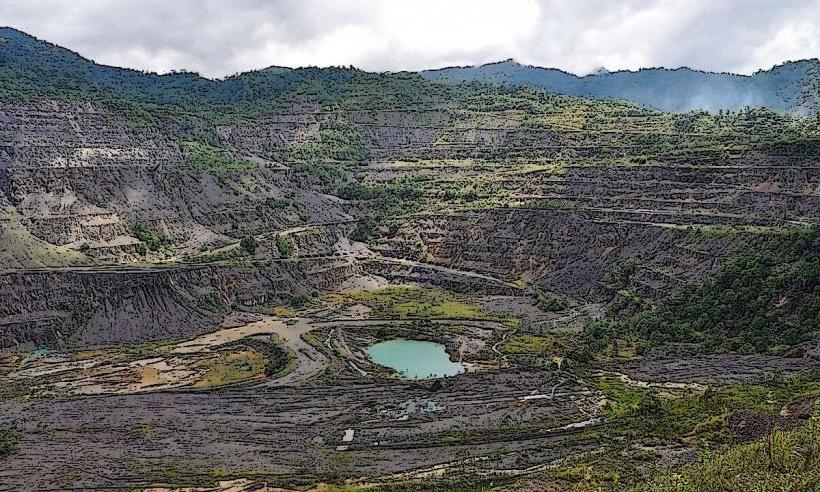
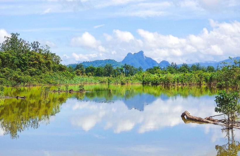
The volcano is characterized by a large caldera, approximately 3.5 km in diameter, which contains two smaller cones, known as the North and South Crater cones. The slopes are covered in dense tropical rainforest. The summit elevation reaches 1,837 meters (6,027 feet). Lava flows are visible on the western flank.
Location & Access Logistics
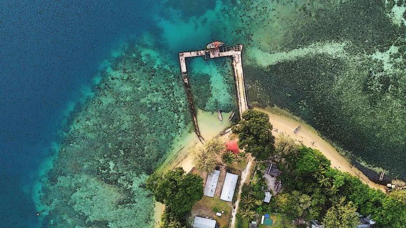
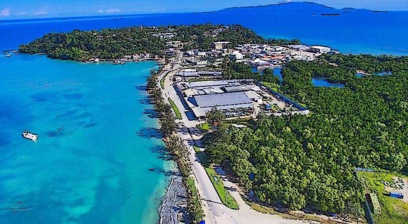
Karkar Island is situated approximately 30 kilometers off the coast of mainland Papua New Guinea, north of Madang. Access is primarily via boat or small aircraft to the island's airstrip. From the airstrip, local transport (e.g., 4WD vehicles or motorcycles) can be arranged to reach the base of the volcano. There are no direct road connections from Madang to the volcano.
Historical & Ecological Origin
Mount Karkar is a Quaternary stratovolcano formed by subduction of the Pacific Plate beneath the Bismarck Sea Plate. Its geological origin is volcanic. The island itself is the exposed summit of a much larger submarine volcano. Eruptive history includes significant events in 1978 and 2005.
Key Highlights & Activities
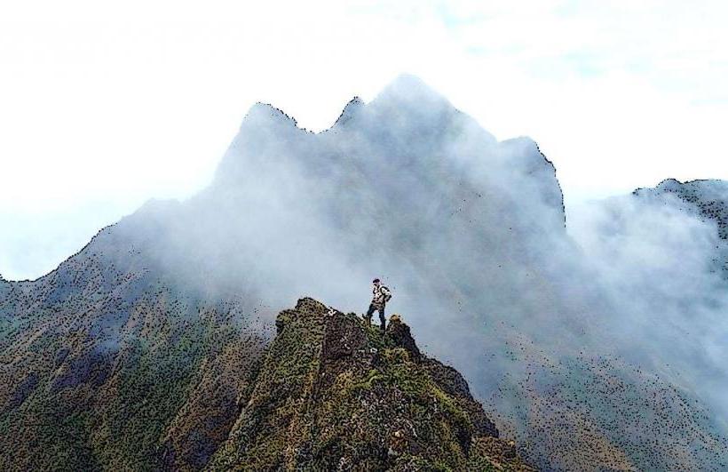
Hiking to the rim of the caldera is possible, though requires local guidance due to terrain and volcanic activity. Observation of fumaroles and hot springs within the caldera is a primary activity. Birdwatching is also prevalent due to the dense forest cover.
Infrastructure & Amenities
Basic amenities are limited. There are no developed tourist facilities at the volcano itself. Restrooms are not available. Shade is provided by the forest canopy. Cell phone signal is unreliable and generally absent at higher elevations. Food vendors are not present at the volcano; provisions must be carried.
Best Time to Visit
The dry season, from June to September, offers the most favorable weather conditions for trekking. Early morning provides the clearest views before potential cloud cover develops. There are no tidal considerations for visiting the volcano.
Facts & Legends
Local folklore suggests the volcano is inhabited by spirits. A notable historical event was the 1978 eruption, which produced significant ashfall and lava flows, leading to evacuations.
Nearby Landmarks
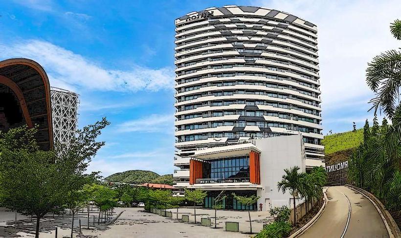
- Madang Resort Hotel (approx. 30km Southwest, across the sea)
- Bainyik National Park (approx. 40km Southwest, mainland)
- Rai Coast (approx. 50km Southeast, mainland)
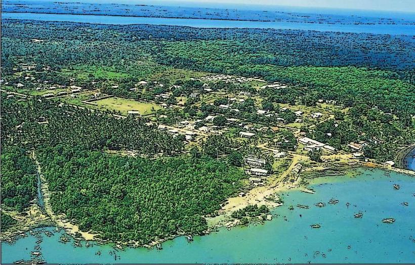
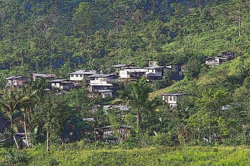
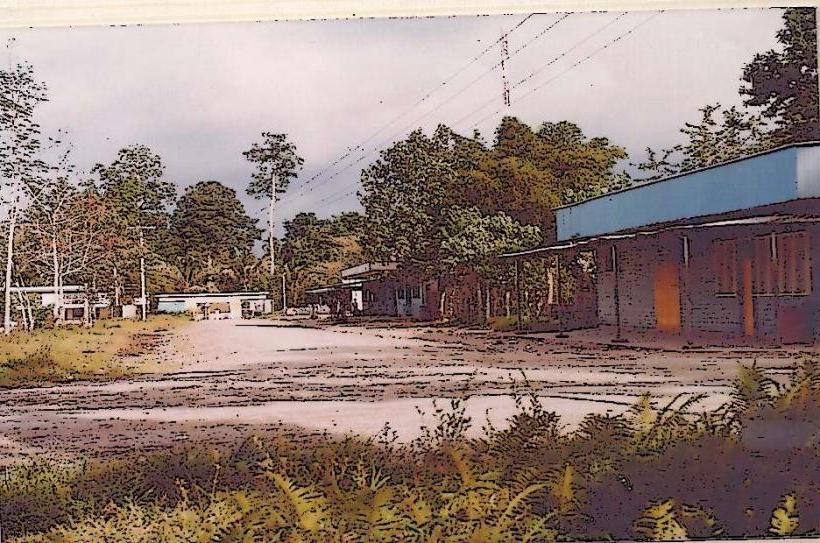
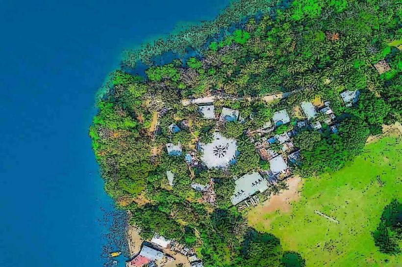
- Karkar Island Village Settlements (various, within 5km radius)