Landmark: Mount Rose Highway Scenic Drive
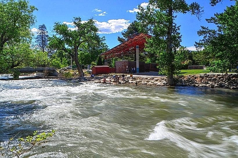
City: Reno
Country: USA Nevada
Continent: North America
Mount Rose Highway Scenic Drive, Reno, USA Nevada, North America
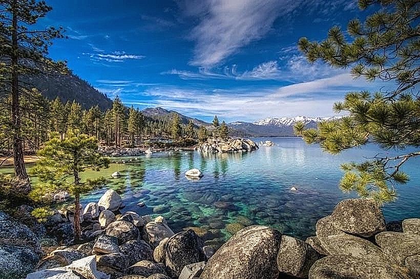
Mount Rose Highway Scenic Drive is a paved public road located in Washoe County, Nevada, connecting Reno to Lake Tahoe. It is designated as Nevada State Route 431.
Visual Characteristics
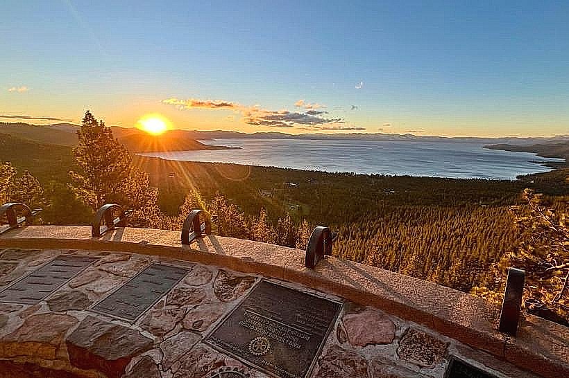
The drive traverses varied terrain, ascending from the Reno basin through forested slopes of the Sierra Nevada. Ponderosa pine, Jeffrey pine, and white fir are dominant tree species. The road reaches an elevation of 8,950 feet (2,728 meters) at its summit, offering views of the Carson Valley and Lake Tahoe basin. Road surfaces are asphalt. Guardrails are present along significant drop-offs.
Location & Access Logistics
The western terminus of Mount Rose Highway is at the intersection with U.S. Route 395 Alternate in Reno, Nevada. The eastern terminus is at the intersection with Nevada State Route 28 near Incline Village, Nevada, on the north shore of Lake Tahoe. The total length is approximately 22 miles (35 kilometers). Parking is available at designated pull-offs and overlooks. No public transport operates directly along the entire scenic drive.
Historical & Ecological Origin
The route was developed to provide access to the Lake Tahoe region and facilitate tourism. Construction began in the early 20th century, with significant upgrades and paving occurring over several decades. The area is part of the Sierra Nevada montane forests ecoregion, characterized by its coniferous forest ecosystem.
Key Highlights & Activities
Designated overlooks provide opportunities for photography and observation. Hiking trails branch off from the highway in several locations, including access points to the Mount Rose Wilderness. Ski resorts are located adjacent to the highway. The summit area offers panoramic views.
Infrastructure & Amenities
Restrooms are available at the Mount Rose Summit rest area. Limited shade is present at higher elevations. Cell phone signal (4G/5G) is intermittent, particularly at higher elevations and in canyons. No food vendors are directly located on the highway; services are available in Reno and Incline Village.
Best Time to Visit
For clear views of Lake Tahoe, morning hours are recommended due to lighting conditions. The best months for driving are typically May through October, when the road is generally clear of snow. Winter conditions can lead to temporary closures, especially at the summit. Snow tires or chains may be required during winter months.
Facts & Legends
The summit of Mount Rose Highway is the highest paved road in Washoe County. The area is known for its significant snowfall, with the Mount Rose Ski Tahoe resort receiving an average of 300 inches of snow annually.
Nearby Landmarks
- Mount Rose Ski Tahoe (0.5km North)
- Lake Tahoe (5km West)
- Carson Valley Overlook (3km East)
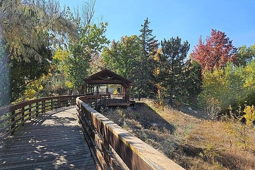
- Galena Creek Regional Park (4km Southeast)
- Donner Memorial State Park (25km West)