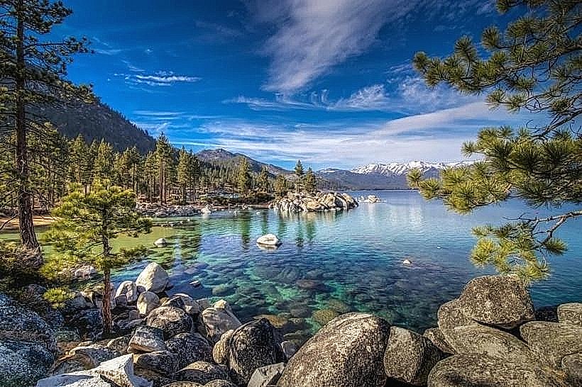
Landmark: Peavine Mountain
City: Reno
Country: USA Nevada
Continent: North America
Peavine Mountain, Reno, USA Nevada, North America
Peavine Mountain is a prominent geological feature located northwest of Reno, Nevada. It serves as a significant recreational area for the surrounding urban population.
Visual Characteristics
Peavine Mountain exhibits a rugged, arid topography characterized by sparse vegetation, primarily consisting of sagebrush and juniper trees. The mountain's slopes are composed of volcanic rock and sedimentary layers, displaying shades of brown, grey, and ochre. Elevation ranges from approximately 4,500 feet at its base to over 7,000 feet at its summit. The terrain is dissected by numerous dry washes and gullies.
Location & Access Logistics
Peavine Mountain is situated approximately 10 miles northwest of downtown Reno, Nevada. Access is primarily via State Route 445 (Pyramid Highway) and then turning west onto various unpaved access roads, such as the Peavine Road turnoff. Several dirt parking areas are available at trailheads along these roads. Public transport does not directly serve the mountain; vehicular access is required.
Historical & Ecological Origin
Peavine Mountain is a remnant of volcanic activity that occurred millions of years ago. Its geological formation is classified as a fault-block mountain, shaped by tectonic forces. Ecologically, it is part of the Great Basin Desert, supporting a high-desert ecosystem adapted to arid conditions and temperature extremes.
Key Highlights & Activities
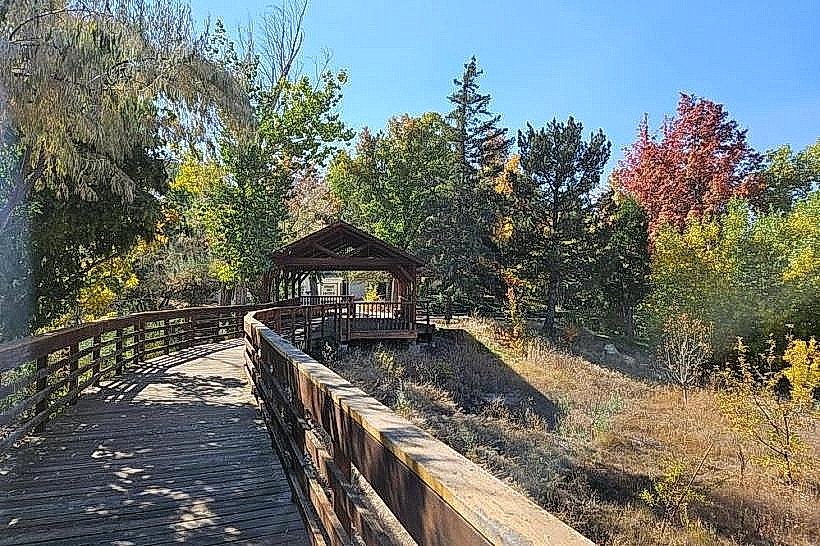
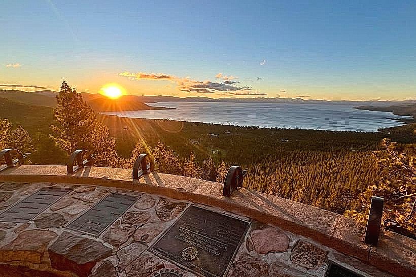
Activities include hiking on designated trails, mountain biking, and off-road vehicle use on established routes. The summit offers panoramic views of Reno, the Truckee Meadows, and the Sierra Nevada. Specific trails include the Peavine Peak Trail (moderate difficulty) and various interconnected routes for longer excursions.
Infrastructure & Amenities
Limited infrastructure is present. Designated parking areas are available at several trailheads. Restrooms are not provided. Shade is minimal, primarily found under juniper trees. Cell phone signal (4G/5G) is intermittent and unreliable across much of the mountain.
Best Time to Visit
The best time for outdoor activities is during the spring (April-May) and fall (September-October) when temperatures are moderate. Summer (June-August) can be extremely hot, with daytime temperatures frequently exceeding 90°F (32°C). Winter (November-March) can bring snow and icy conditions, making some trails impassable. Early morning or late afternoon provides optimal lighting for photography, especially during spring and fall.
Facts & Legends
A local legend suggests that the mountain's name originates from a large wild pea plant that once grew prolifically on its slopes. More concretely, Peavine Mountain is a popular location for stargazing due to its distance from significant light pollution in Reno.
Nearby Landmarks
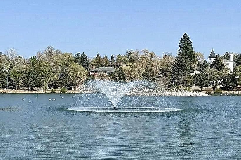
- Sparks Marina Park (5km Southeast)
- Rancho San Rafael Regional Park (7km Southeast)
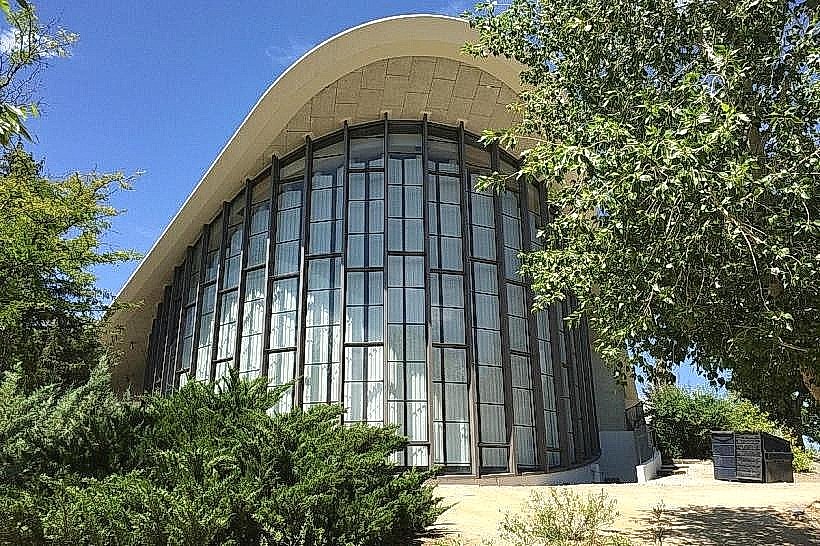
- National Automobile Museum (10km Southeast)
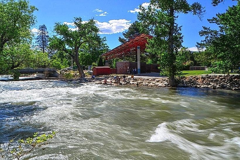
- Riverwalk District, Reno (11km Southeast)
- Virginia City Historic District (30km Southeast)