Landmark: Namu’a Island
City: Lotofaga
Country: Samoa
Continent: Australia
Namu’a Island, Lotofaga, Samoa, Australia
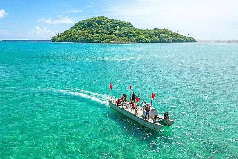
Namu’a Island is a small, uninhabited basaltic islet located off the southeastern coast of Upolu, Samoa. It is one of the four islands situated within the Aleipata Islands protected marine area.
Visual Characteristics
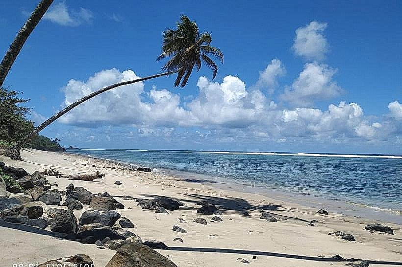
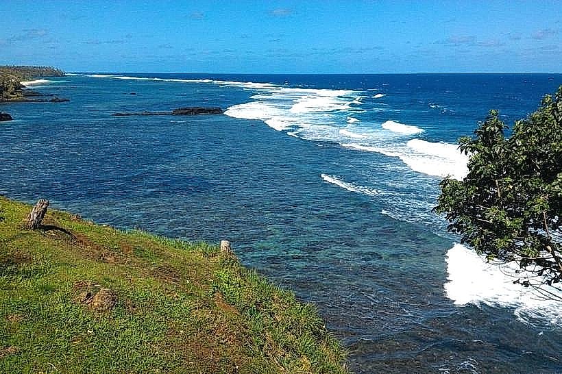
The island features a prominent volcanic ridge covered in dense, primary rainforest and coconut groves. Its eastern side is defined by steep, rugged cliffs that face the open Pacific, while the western side offers a narrow strip of white coral sand and a shallow, turquoise lagoon. The water clarity is high, revealing extensive coral gardens and dark basaltic rocks beneath the surface.
Location & Access Logistics
The island is accessed via a 10-minute boat transfer from the Mutiatele or Lalomanu boat ramps, located approximately 55km from Apia. Visitors typically arrange pick-up by signaling from the shore or booking through the family-run island resort. There are no roads or motorized vehicles on the island; all transit is on foot via the beach or a central ridge trail.
Historical & Ecological Origin
Namu’a is a volcanic tuff cone formed during the late Pleistocene or early Holocene epoch. It serves as a critical sanctuary for biodiversity, including the Samoan fruit bat and various seabird species. Historically, the island has remained largely undeveloped, used primarily for small-scale sustainable tourism and traditional fishing by the local mainland villages.
Key Highlights & Activities
Snorkeling is the main attraction, particularly for observing green sea turtles which frequent the lagoon. A steep hiking trail leads to the island's summit, providing 360-degree views of the Aleipata coastline and neighboring islands like Fanuatapu. Overnight stays are possible in traditional beach fales for a secluded experience.
Infrastructure & Amenities
Infrastructure is limited to several traditional open-air fales and a central communal kitchen area for overnight guests. There are basic shared restroom and shower facilities. The island has no electrical grid, relying on solar power and lanterns. Cell phone signal is surprisingly stable (4G) due to its line-of-sight proximity to the mainland towers.
Best Time to Visit
The best time for a day trip is between 10:00 AM and 3:00 PM when boat transfers are most frequent. For those hiking the ridge trail, early morning is recommended to avoid the intense humidity of the forest canopy. The dry season from May to October offers the calmest seas for the boat crossing.
Facts & Legends
A unique feature of Namu’a is that it is one of the few places in Samoa where visitors can reliably swim with wild sea turtles just meters from the shore. Local legend tells of the island being a discarded piece of earth dropped by giants during the creation of the Samoan archipelago.
Nearby Landmarks
Fanuatapu Island – 2.5km East
Lalomanu Beach – 1.8km Southwest
Mutiatele Village – 1.2km West
Nu'utele Island – 4.5km South