Landmark: Naparima Hill
City: San Fernando
Country: Trinidad and Tobago
Continent: North America
Naparima Hill, San Fernando, Trinidad and Tobago, North America
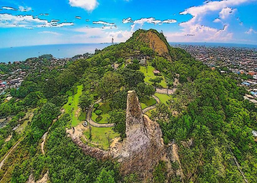
Naparima Hill is a prominent geological feature located within the city limits of San Fernando, Trinidad and Tobago.
This elevated landmass serves as a significant natural landmark and recreational area for the surrounding urban environment.
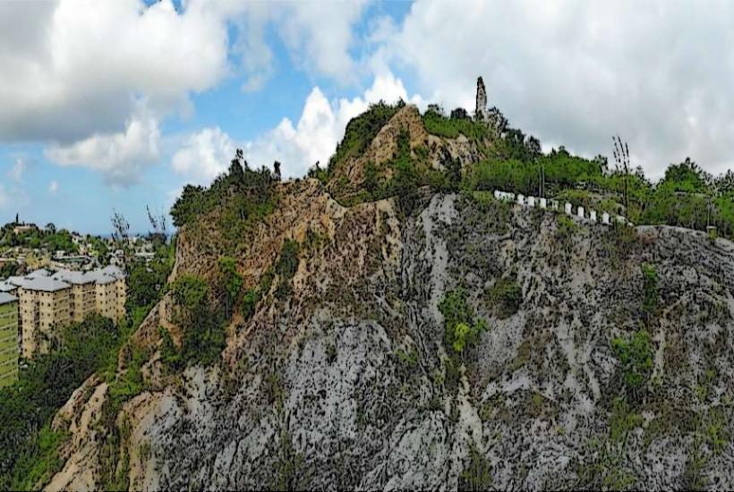
Visual Characteristics
Naparima Hill is characterized by its undulating terrain, covered in dense tropical vegetation. The dominant tree species include various palms, guavas, and immortelles. The slopes are composed of sedimentary rock, primarily clay and sandstone, which can be prone to erosion. The summit offers panoramic views of the Gulf of Paria and the surrounding cityscape.
Location & Access Logistics
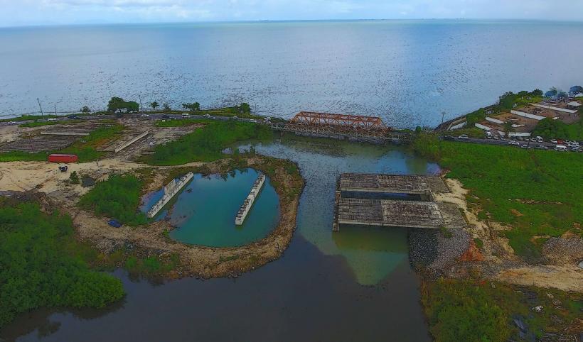
The hill is situated directly south of the San Fernando city center. Access is primarily via Circular Road, which encircles the base of the hill, and various smaller access roads branching off it, such as Paradise Road and La Pique Road. Parking is available at designated points along Circular Road and at the summit area, though capacity is limited. Public transport options include local bus routes that service the areas around the base of the hill; specific routes require local knowledge for precise boarding points.
Historical & Ecological Origin
Naparima Hill is a geological formation composed of Tertiary period sedimentary rocks, primarily the Nariva Formation. Its elevation is a result of tectonic uplift over millions of years. Ecologically, it represents a remnant of the original tropical rainforest that once covered much of southern Trinidad, supporting a diverse range of flora and fauna.
Key Highlights & Activities
Activities include hiking on established trails, birdwatching, and photography from the summit viewpoints. The "Green Minds" nature trail is a marked path for walking. Observation decks at the summit provide vantage points for observing the cityscape and coastline. The area is also used for local community events and informal recreation.
Infrastructure & Amenities
Restrooms are available at the summit parking area. Shade is provided by the natural tree canopy along the trails and at designated picnic spots. Cell phone signal (4G) is generally available at the summit and along main access roads. There are no permanent food vendors on the hill itself, but small shops and restaurants are located in the surrounding neighborhoods of San Fernando.
Best Time to Visit
The best time of day for photography is early morning or late afternoon when the sun angle provides optimal lighting on the landscape. The dry season, from January to May, offers the most pleasant weather with lower humidity and less rainfall. The wet season (June to December) can result in muddy trails.
Facts & Legends
A local legend suggests that the hill was once the dwelling place of ancient spirits, and that unusual sounds heard at night are their voices. Historically, Naparima Hill was a strategic observation point during colonial times due to its commanding views.
Nearby Landmarks
- San Fernando City Hall (0.8km North)
- Harris Promenade (1.2km North)
- San Fernando General Hospital (1.5km Northwest)
- Brian Lara Promenade (1.8km North)
- King's Wharf (2.5km West)